Estimated Value: $319,000 - $337,000
--
Bed
1
Bath
2,367
Sq Ft
$137/Sq Ft
Est. Value
About This Home
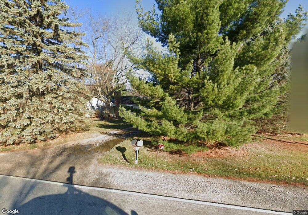
This home is located at 1235 W Reid Rd Unit 51, Flint, MI 48507 and is currently estimated at $324,726, approximately $137 per square foot. 1235 W Reid Rd Unit 51 is a home located in Genesee County with nearby schools including Carman-Ainsworth High School, Woodland Park Academy, and Madison Academy - Elementary School.
Ownership History
Date
Name
Owned For
Owner Type
Purchase Details
Closed on
Dec 6, 2002
Sold by
Sleepy Hollow Condominiums Llc
Bought by
Johnson Debra M
Current Estimated Value
Home Financials for this Owner
Home Financials are based on the most recent Mortgage that was taken out on this home.
Original Mortgage
$115,200
Outstanding Balance
$59,477
Interest Rate
9.12%
Estimated Equity
$265,249
Purchase Details
Closed on
May 15, 2002
Sold by
Sleepy Hollow Condominiums Llc
Bought by
Hairston Phyllis M
Home Financials for this Owner
Home Financials are based on the most recent Mortgage that was taken out on this home.
Original Mortgage
$114,316
Interest Rate
8.35%
Create a Home Valuation Report for This Property
The Home Valuation Report is an in-depth analysis detailing your home's value as well as a comparison with similar homes in the area
Home Values in the Area
Average Home Value in this Area
Purchase History
| Date | Buyer | Sale Price | Title Company |
|---|---|---|---|
| Johnson Debra M | $144,010 | Greco Title | |
| Hairston Phyllis M | $142,895 | Philip F Greco Title Company |
Source: Public Records
Mortgage History
| Date | Status | Borrower | Loan Amount |
|---|---|---|---|
| Open | Johnson Debra M | $115,200 | |
| Previous Owner | Hairston Phyllis M | $114,316 |
Source: Public Records
Tax History Compared to Growth
Tax History
| Year | Tax Paid | Tax Assessment Tax Assessment Total Assessment is a certain percentage of the fair market value that is determined by local assessors to be the total taxable value of land and additions on the property. | Land | Improvement |
|---|---|---|---|---|
| 2025 | $3,830 | $188,300 | $0 | $0 |
| 2024 | $2,029 | $171,700 | $0 | $0 |
| 2023 | $1,936 | $154,800 | $0 | $0 |
| 2022 | $3,076 | $140,400 | $0 | $0 |
| 2021 | $2,988 | $132,600 | $0 | $0 |
| 2020 | $1,739 | $122,400 | $0 | $0 |
| 2019 | $1,714 | $114,000 | $0 | $0 |
| 2018 | $2,746 | $105,400 | $0 | $0 |
| 2017 | $2,630 | $102,200 | $0 | $0 |
| 2016 | $2,681 | $92,900 | $0 | $0 |
| 2015 | $2,504 | $82,200 | $0 | $0 |
| 2014 | $1,708 | $78,900 | $0 | $0 |
| 2012 | -- | $68,800 | $68,800 | $0 |
Source: Public Records
Map
Nearby Homes
- 1395 Windwood Ln
- 7191 Brittwood Ln
- 1389 Dellmont Dr
- 1283 Woodnoll Dr
- 7400 Lawrence St
- 7036 Glen Oak Dr
- 35010 Mitchell St Unit 210
- 41003 Williams St Unit 242
- 7444 Rory St
- 12000 Murray St Unit 67
- 6557 Rustic Ridge Trail
- 7269 Wildflower Ct
- 1203 Froman St
- 3010 Murray St Unit 18
- 3006 Murray St Unit 16
- 22003 Wilson St Unit 128
- 1195 Alton Ave
- 0 Glenmeadow Ct Unit 20251041011
- 1261 W Grand Blanc Rd
- 0 Taylor Dr Unit 50159493
- 1255 W Reid Rd Unit 50
- 1227 W Reid Rd
- 1207 W Reid Rd
- 1244 Lexa Ln Unit 5
- 1234 Lexa Ln Unit 4
- 0 E Reid Rd Unit 30064873
- 0 E Reid Rd Unit G21265943
- 0 E Reid Rd Unit G50004072
- 0 E Reid Rd Unit G50014017
- 0 E Reid Rd Unit 2210019954
- 0 E Reid Rd
- 0 E Reid Rd Unit 2200004284
- 0 E Reid Rd Unit 3090157
- 0 E Reid Rd Unit 31373205
- 0 E Reid Rd Unit 219018962
- 1193 W Reid Rd
- 1285 W Reid Rd Unit 15
- 1214 Lexa Ln Unit 2
- 1224 Lexa Ln
- 1254 Lexa Ln Unit 6