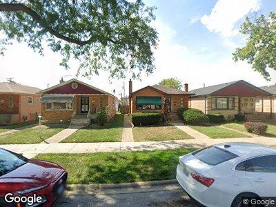
12350 S Loomis St Calumet Park, IL 60827
Calumet Park NeighborhoodEstimated Value: $172,000 - $207,000
3
Beds
1
Bath
1,126
Sq Ft
$166/Sq Ft
Est. Value
About This Home
This home is located at 12350 S Loomis St, Calumet Park, IL 60827 and is currently estimated at $186,440, approximately $165 per square foot. 12350 S Loomis St is a home located in Cook County with nearby schools including Burr Oak Academy, Calumet Middle School, and Harold L. Richards High School.
Ownership History
Date
Name
Owned For
Owner Type
Purchase Details
Closed on
Feb 10, 1997
Sold by
Mcneal Melvin and Mcneal Mary
Bought by
Reed Lang and Reed Helen D
Current Estimated Value
Home Financials for this Owner
Home Financials are based on the most recent Mortgage that was taken out on this home.
Original Mortgage
$81,700
Outstanding Balance
$14,435
Interest Rate
7.73%
Estimated Equity
$150,422
Create a Home Valuation Report for This Property
The Home Valuation Report is an in-depth analysis detailing your home's value as well as a comparison with similar homes in the area
Home Values in the Area
Average Home Value in this Area
Purchase History
| Date | Buyer | Sale Price | Title Company |
|---|---|---|---|
| Reed Lang | $86,000 | -- |
Source: Public Records
Mortgage History
| Date | Status | Borrower | Loan Amount |
|---|---|---|---|
| Closed | Reed Lang | $27,000 | |
| Open | Reed Lang | $81,700 |
Source: Public Records
Tax History Compared to Growth
Tax History
| Year | Tax Paid | Tax Assessment Tax Assessment Total Assessment is a certain percentage of the fair market value that is determined by local assessors to be the total taxable value of land and additions on the property. | Land | Improvement |
|---|---|---|---|---|
| 2024 | $491 | $13,000 | $2,850 | $10,150 |
| 2023 | $491 | $13,000 | $2,850 | $10,150 |
| 2022 | $491 | $7,607 | $2,494 | $5,113 |
| 2021 | $2,235 | $7,605 | $2,493 | $5,112 |
| 2020 | $2,365 | $7,605 | $2,493 | $5,112 |
| 2019 | $2,353 | $8,235 | $2,256 | $5,979 |
| 2018 | $2,387 | $8,235 | $2,256 | $5,979 |
| 2017 | $3,712 | $10,685 | $2,256 | $8,429 |
| 2016 | $2,698 | $8,267 | $2,018 | $6,249 |
| 2015 | $2,504 | $8,267 | $2,018 | $6,249 |
| 2014 | $3,233 | $9,548 | $2,018 | $7,530 |
| 2013 | $2,476 | $8,177 | $2,018 | $6,159 |
Source: Public Records
Map
Nearby Homes
- 1415 W 123rd St
- 1301 W 123rd St
- 12231 S Loomis St
- 12509 S Bishop St
- 12512 S Loomis St
- 12509 S Justine St
- 1541 W Asher St Unit 10D
- 12529 S Loomis St
- 12153 S Loomis St
- 12226 S Elizabeth St
- 12310 S Racine Ave
- 12128 S Bishop St
- 12538 S Justine St
- 12312 S May St
- 12613 S Bishop St
- 12426 S May St
- 12411 S May St
- 12537 S Marshfield Ave
- 12115 S Ashland Ave
- 12629 S Throop St
- 12350 S Loomis St
- 12352 S Loomis St
- 12344 S Loomis St
- 12354 S Loomis St
- 12342 S Loomis St
- 12360 S Loomis St
- 12338 S Loomis St
- 12334 S Loomis St
- 12345 S Bishop St
- 12349 S Bishop St
- 12341 S Bishop St
- 12353 S Bishop St
- 12337 S Bishop St
- 12330 S Loomis St
- 12357 S Bishop St
- 12333 S Bishop St
- 12351 S Loomis St
- 12353 S Loomis St
- 12349 S Loomis St
- 12355 S Loomis St