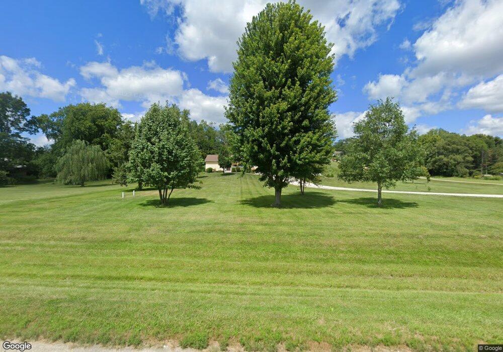
12352 Flint Bottom Rd Burlington, IA 52601
Estimated Value: $263,000 - $328,000
3
Beds
2
Baths
1,512
Sq Ft
$193/Sq Ft
Est. Value
About This Home
This home is located at 12352 Flint Bottom Rd, Burlington, IA 52601 and is currently estimated at $291,995, approximately $193 per square foot. 12352 Flint Bottom Rd is a home located in Des Moines County with nearby schools including Burlington Community High School, Burlington Christian School, and Notre Dame High School.
Ownership History
Date
Name
Owned For
Owner Type
Purchase Details
Closed on
Sep 7, 2005
Sold by
Henrie Lisa K and Henrie Corey T
Bought by
Sperfslage Trevor E and Sperfslage Michelle L
Current Estimated Value
Home Financials for this Owner
Home Financials are based on the most recent Mortgage that was taken out on this home.
Original Mortgage
$35,000
Outstanding Balance
$18,913
Interest Rate
6.01%
Mortgage Type
New Conventional
Estimated Equity
$273,082
Create a Home Valuation Report for This Property
The Home Valuation Report is an in-depth analysis detailing your home's value as well as a comparison with similar homes in the area
Home Values in the Area
Average Home Value in this Area
Purchase History
| Date | Buyer | Sale Price | Title Company |
|---|---|---|---|
| Sperfslage Trevor E | $35,000 | None Available |
Source: Public Records
Mortgage History
| Date | Status | Borrower | Loan Amount |
|---|---|---|---|
| Open | Sperfslage Trevor E | $35,000 |
Source: Public Records
Tax History Compared to Growth
Tax History
| Year | Tax Paid | Tax Assessment Tax Assessment Total Assessment is a certain percentage of the fair market value that is determined by local assessors to be the total taxable value of land and additions on the property. | Land | Improvement |
|---|---|---|---|---|
| 2025 | $2,922 | $248,300 | $37,100 | $211,200 |
| 2024 | $2,922 | $220,800 | $37,100 | $183,700 |
| 2023 | $2,786 | $220,800 | $37,100 | $183,700 |
| 2022 | $2,860 | $209,000 | $37,100 | $171,900 |
| 2021 | $2,860 | $209,000 | $37,100 | $171,900 |
| 2020 | $3,022 | $207,400 | $37,100 | $170,300 |
| 2019 | $3,222 | $207,400 | $37,100 | $170,300 |
| 2018 | $3,242 | $206,900 | $39,200 | $167,700 |
| 2017 | $3,242 | $200,400 | $0 | $0 |
| 2016 | $2,970 | $190,900 | $0 | $0 |
| 2015 | $2,970 | $190,900 | $0 | $0 |
| 2014 | $3,026 | $162,500 | $0 | $0 |
Source: Public Records
Map
Nearby Homes
- 12251 Celestia Dr
- 12731 U S 61
- 11475 Plank Rd
- 13087 Cedar Hills Dr
- 11738 Greenwood Dr
- 11779 Greenwood Dr
- 13186 Cedar Hills Dr
- 11161 Iroquois Rd
- 10591 Rolling Hills Dr
- 2544 Surrey Rd
- 2917 Woodland Dr
- 11047 137th Ave
- 11000 Wildlife Lakes Dr
- 10976 Wood Duck Cove Dr
- 0 Hwy 61 Unit 23351978
- 1913 Racine Ave
- 220 Summer St
- 2826 Sunnyside Ave
- 2801 Sunnyside Ave
- 2832 Lesylvia St
- 12362 Flint Bottom Rd
- 12065 Flint Valley Dr
- 12043 Flint Valley Dr
- 12348 Flint Bottom Rd
- 12087 Flint Valley Dr
- 12021 Flint Valley Dr
- 12099 Flint Valley Dr
- 12458 Flint Bottom Rd
- 12101 Flint Valley Dr
- 12068 Flint Valley Dr
- 12046 Flint Valley Dr
- 12124 Flint Valley Dr
- 12024 Flint Valley Dr
- 12175 Celestia Dr
- 12113 Flint Valley Dr
- 12135 Flint Valley Dr
- 12476 Flint Bottom Rd
- 12067 Celestia Dr
- 12045 Celestia Dr
- 12146 Flint Valley Dr