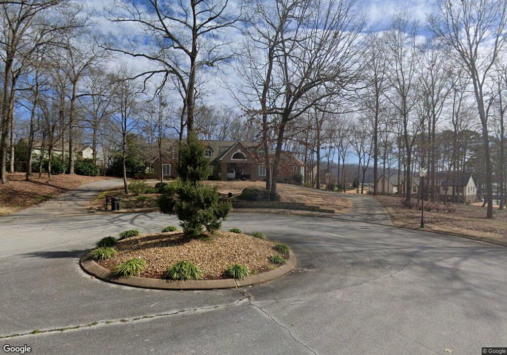
1236 Harbor Point Dr Soddy Daisy, TN 37379
Estimated Value: $740,000 - $959,000
--
Bed
1
Bath
3,868
Sq Ft
$220/Sq Ft
Est. Value
About This Home
This home is located at 1236 Harbor Point Dr, Soddy Daisy, TN 37379 and is currently estimated at $852,313, approximately $220 per square foot. 1236 Harbor Point Dr is a home located in Hamilton County.
Ownership History
Date
Name
Owned For
Owner Type
Purchase Details
Closed on
Jun 21, 2013
Sold by
Luttrell George W and Luttrell Paula M
Bought by
Townsend Anthony R and Townsend Jill D
Current Estimated Value
Home Financials for this Owner
Home Financials are based on the most recent Mortgage that was taken out on this home.
Original Mortgage
$416,000
Outstanding Balance
$294,994
Interest Rate
3.42%
Mortgage Type
New Conventional
Estimated Equity
$557,319
Purchase Details
Closed on
May 7, 2009
Sold by
Luttrell George W
Bought by
Luttrell Paula M
Create a Home Valuation Report for This Property
The Home Valuation Report is an in-depth analysis detailing your home's value as well as a comparison with similar homes in the area
Home Values in the Area
Average Home Value in this Area
Purchase History
| Date | Buyer | Sale Price | Title Company |
|---|---|---|---|
| Townsend Anthony R | $22,000 | Century Title & Escrow Inc | |
| Luttrell Paula M | -- | Century Title & Escrow Inc |
Source: Public Records
Mortgage History
| Date | Status | Borrower | Loan Amount |
|---|---|---|---|
| Open | Townsend Anthony R | $416,000 |
Source: Public Records
Tax History Compared to Growth
Tax History
| Year | Tax Paid | Tax Assessment Tax Assessment Total Assessment is a certain percentage of the fair market value that is determined by local assessors to be the total taxable value of land and additions on the property. | Land | Improvement |
|---|---|---|---|---|
| 2024 | $3,166 | $141,525 | $0 | $0 |
| 2023 | $4,755 | $141,525 | $0 | $0 |
| 2022 | $4,755 | $141,525 | $0 | $0 |
| 2021 | $4,755 | $141,525 | $0 | $0 |
| 2020 | $5,265 | $127,650 | $0 | $0 |
| 2019 | $5,265 | $127,650 | $0 | $0 |
| 2018 | $5,265 | $127,650 | $0 | $0 |
| 2017 | $5,265 | $127,650 | $0 | $0 |
| 2016 | $5,150 | $0 | $0 | $0 |
| 2015 | $5,150 | $124,850 | $0 | $0 |
| 2014 | $5,150 | $0 | $0 | $0 |
Source: Public Records
Map
Nearby Homes
- 11312 Hixson Pike
- 11734 Armstrong Rd
- 11636 Holly Cir
- 1235 Bentley Ln
- 11652 Hixson Pike
- 11570 Armstrong Rd
- 1055 Apollo Dr
- 1708 Restful Dr
- 11008 Lovell Rd
- 11219 Dayton Pike
- 11213 Dayton Pike
- 11317 Cape View
- 1121 Natural Way
- 10627 Jeneva Ln
- 191 Depot St
- 10496 Sovereign Pointe Dr
- 11036 High River Dr
- 176 Depot St
- 876 Equestrian Dr
- 155 Depot St
- 1118 Clift Cave Rd
- 1136 Clift Cave Dr
- 1136 Clift Cave Dr
- 1220 Harbor Point Dr
- 1200 Harbor Point Dr
- 1126 Harbor Point Dr
- 1120 Clift Cave Rd
- 1114 Clift Cave Rd
- 1124 Harbor Point Dr
- 1124 Harbor Point Dr Unit 24
- 1132 Clift Cave Dr
- 1125 Harbor Point Dr
- 1124 Clift Cave Dr
- 1124 Clift Cave Rd
- 1140 Clift Cave Dr
- 1140 Clift Cave Dr
- 1112 Clift Cave Rd
- 1122 Harbor Point Dr
- 1128 Clift Cave Rd
- 1108 Clift Cave Dr