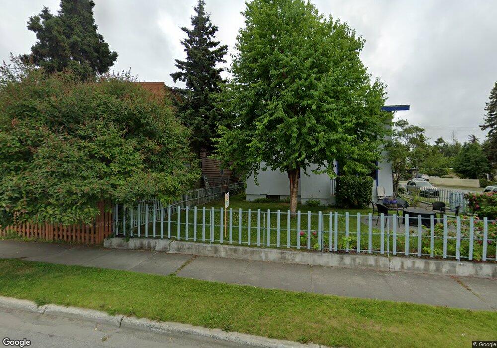
1236 W 10th Ave Unit A Anchorage, AK 99501
South Addition NeighborhoodEstimated Value: $377,000 - $1,013,000
3
Beds
1
Bath
750
Sq Ft
$993/Sq Ft
Est. Value
About This Home
This home is located at 1236 W 10th Ave Unit A, Anchorage, AK 99501 and is currently estimated at $745,017, approximately $993 per square foot. 1236 W 10th Ave Unit A is a home located in Anchorage Municipality with nearby schools including Inlet View Elementary School, Central Middle School of Science, and West High School.
Ownership History
Date
Name
Owned For
Owner Type
Purchase Details
Closed on
Jan 11, 2010
Sold by
Nelson Lisa B
Bought by
Nelson Lisa B
Current Estimated Value
Home Financials for this Owner
Home Financials are based on the most recent Mortgage that was taken out on this home.
Original Mortgage
$300,000
Outstanding Balance
$191,857
Interest Rate
4.68%
Estimated Equity
$553,160
Purchase Details
Closed on
Nov 21, 2001
Sold by
Middleton R Collin and Middleton Anne L
Bought by
Nelson Thordis B
Create a Home Valuation Report for This Property
The Home Valuation Report is an in-depth analysis detailing your home's value as well as a comparison with similar homes in the area
Home Values in the Area
Average Home Value in this Area
Purchase History
| Date | Buyer | Sale Price | Title Company |
|---|---|---|---|
| Nelson Lisa B | -- | None Available | |
| Nelson Lisa B | -- | None Available | |
| Nelson Thordis B | -- | -- | |
| Nelson Thordis B | -- | -- |
Source: Public Records
Mortgage History
| Date | Status | Borrower | Loan Amount |
|---|---|---|---|
| Open | Nelson Lisa B | $300,000 |
Source: Public Records
Tax History Compared to Growth
Tax History
| Year | Tax Paid | Tax Assessment Tax Assessment Total Assessment is a certain percentage of the fair market value that is determined by local assessors to be the total taxable value of land and additions on the property. | Land | Improvement |
|---|---|---|---|---|
| 2025 | $6,752 | $643,000 | $217,700 | $425,300 |
| 2024 | $6,752 | $643,200 | $217,700 | $425,500 |
| 2023 | $9,823 | $576,800 | $217,700 | $359,100 |
| 2022 | $5,906 | $550,700 | $217,700 | $333,000 |
| 2021 | $9,399 | $521,600 | $217,700 | $303,900 |
| 2020 | $8,815 | $518,500 | $217,700 | $300,800 |
| 2019 | $7,630 | $516,400 | $217,700 | $298,700 |
| 2018 | $7,779 | $524,300 | $207,700 | $316,600 |
| 2017 | $7,615 | $506,300 | $200,000 | $306,300 |
| 2016 | $6,482 | $495,700 | $166,700 | $329,000 |
| 2015 | $6,482 | $489,600 | $166,700 | $322,900 |
| 2014 | $6,482 | $440,400 | $166,700 | $273,700 |
Source: Public Records
Map
Nearby Homes
- 836 O Place Unit 836
- 832 O Place Unit 832
- 1300 W 7th Ave Unit 315
- 957 W 12th Ave Unit 1
- 811 K St
- 1600 W 11th Ave Unit 28
- 618 N St
- 1605 W 12th Ave Unit 40
- 1200 I St Unit 503
- 843 W 11th Ave Unit 203
- 521 N St
- 1607 W 14th Ave
- 618 I St
- 1310 G St
- 333 M St Unit 402
- 1110 F St
- 710 W 16th Ave
- 1003 D St
- 1625 C St
- 1945 Spenard Rd
- 1236 W 10th Ave
- 1236 W 10th Ave Unit B
- 1242 W 10th Ave
- 1226 W 10th Ave
- 1019 N St
- 1222 W 10th Ave
- 1302 W 10th Ave
- 000 No Real
- L7 Brookwood Hills N
- L15 Brookwood Hills N
- 000 No Real Address
- 000 E No Address Ave
- 1233 W 11th Ave
- 1233 W 11th Ave
- 1029 N St
- 1218 W 10th Ave
- 1020 M St
- 1022 N St
- 1237 W 11th Ave
- 1312 W 10th Ave