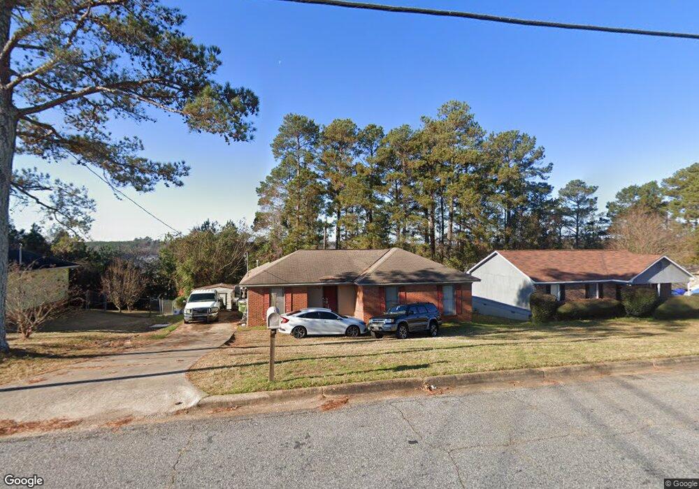
1237 Bunker Hill Rd Columbus, GA 31907
Eastern Columbus NeighborhoodEstimated Value: $136,107 - $158,000
3
Beds
3
Baths
1,187
Sq Ft
$127/Sq Ft
Est. Value
About This Home
This home is located at 1237 Bunker Hill Rd, Columbus, GA 31907 and is currently estimated at $151,027, approximately $127 per square foot. 1237 Bunker Hill Rd is a home located in Muscogee County with nearby schools including Dawson Elementary School, East Columbus Magnet Academy, and Spencer High School.
Ownership History
Date
Name
Owned For
Owner Type
Purchase Details
Closed on
Dec 16, 2005
Sold by
Harris Janett
Bought by
Lowe T Melton
Current Estimated Value
Create a Home Valuation Report for This Property
The Home Valuation Report is an in-depth analysis detailing your home's value as well as a comparison with similar homes in the area
Home Values in the Area
Average Home Value in this Area
Purchase History
| Date | Buyer | Sale Price | Title Company |
|---|---|---|---|
| Lowe T Melton | -- | None Available |
Source: Public Records
Tax History Compared to Growth
Tax History
| Year | Tax Paid | Tax Assessment Tax Assessment Total Assessment is a certain percentage of the fair market value that is determined by local assessors to be the total taxable value of land and additions on the property. | Land | Improvement |
|---|---|---|---|---|
| 2025 | $1,187 | $43,356 | $12,660 | $30,696 |
| 2024 | $1,186 | $43,356 | $12,660 | $30,696 |
| 2023 | $499 | $43,356 | $12,660 | $30,696 |
| 2022 | $1,236 | $35,356 | $12,660 | $22,696 |
| 2021 | $1,230 | $33,228 | $12,660 | $20,568 |
| 2020 | $1,230 | $33,228 | $12,660 | $20,568 |
| 2019 | $1,236 | $33,228 | $12,660 | $20,568 |
| 2018 | $1,236 | $33,228 | $12,660 | $20,568 |
| 2017 | $1,241 | $33,228 | $12,660 | $20,568 |
| 2016 | $1,247 | $43,503 | $5,991 | $37,512 |
| 2015 | $1,249 | $43,503 | $5,991 | $37,512 |
| 2014 | $1,251 | $43,503 | $5,991 | $37,512 |
| 2013 | -- | $43,503 | $5,991 | $37,512 |
Source: Public Records
Map
Nearby Homes
- 1238 Brandywine Dr
- 1210 Bunker Hill Rd
- 5294 Bunker Hill Ct
- 5310 Stoney Point Rd
- 5116 Magazine Ln
- 5109 Lexington Ln
- 5219 Argonne Dr
- 5090 Lexington Ln
- 5336 Gettysburg Way
- 1340 Bunker Ridge Ln
- 1513 Alamo Dr
- 906 Bunker Hill Rd
- 5234 Saint Marys Rd
- 849 Bunker Hill Rd
- 4462 Walking Stick Way
- 1025 Belmar St
- 1225 Rowell St
- 4939 Aaron Dr
- 4408 Walking Stick Way
- 5664 St Marys Rd
- 1243 Bunker Hill Rd
- 1231 Bunker Hill Rd
- 1230 Freedom Ridge Dr
- 1225 Bunker Hill Rd
- 1236 Freedom Ridge Dr
- 1451 Bunker Hill Rd
- 1224 Freedom Ridge Dr
- 1242 Freedom Ridge Dr
- 1245 Brandywine Dr
- 1246 Bunker Hill Rd
- 1218 Freedom Ridge Dr
- 1219 Bunker Hill Rd
- 1461 Bunker Hill Rd
- 1908 Bunker Hill Rd
- 0 Bunker Hill Rd Unit 7374200
- 0 Bunker Hill Rd Unit 7207337
- 0 Bunker Hill Rd Unit 7010054
- 0 Bunker Hill Rd Unit 3215301
- 1224 Bunker Hill Rd
- 1460 Bunker Hill Rd