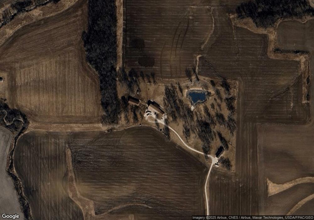
1237 Highway 6 Malcom, IA 50157
Estimated Value: $386,000 - $654,000
3
Beds
3
Baths
1,680
Sq Ft
$325/Sq Ft
Est. Value
About This Home
This home is located at 1237 Highway 6, Malcom, IA 50157 and is currently estimated at $546,320, approximately $325 per square foot. 1237 Highway 6 is a home located in Poweshiek County with nearby schools including Brooklyn-Guernsey-Malcom Elementary School and Brooklyn-Guernsey-Malcom Junior/Senior High School.
Ownership History
Date
Name
Owned For
Owner Type
Purchase Details
Closed on
Jan 27, 2022
Sold by
Fraker Kasandra C and Fraker Ryan
Bought by
Fraker Devon L
Current Estimated Value
Home Financials for this Owner
Home Financials are based on the most recent Mortgage that was taken out on this home.
Original Mortgage
$540,000
Outstanding Balance
$486,968
Interest Rate
3.56%
Mortgage Type
Credit Line Revolving
Estimated Equity
$59,352
Purchase Details
Closed on
Mar 17, 2015
Sold by
Dunsmoor Tony A and Dunsmoor Marsha J
Bought by
Fraker Devon L and Fraker Kasandra C
Home Financials for this Owner
Home Financials are based on the most recent Mortgage that was taken out on this home.
Original Mortgage
$166,550
Interest Rate
3.56%
Mortgage Type
New Conventional
Purchase Details
Closed on
Apr 23, 2005
Sold by
Jack Vicki L
Bought by
Duncan James E and Duncan Beverly J
Home Financials for this Owner
Home Financials are based on the most recent Mortgage that was taken out on this home.
Original Mortgage
$292,600
Interest Rate
6.05%
Mortgage Type
New Conventional
Create a Home Valuation Report for This Property
The Home Valuation Report is an in-depth analysis detailing your home's value as well as a comparison with similar homes in the area
Purchase History
| Date | Buyer | Sale Price | Title Company |
|---|---|---|---|
| Fraker Devon L | -- | None Listed On Document | |
| Fraker Devon L | $332,500 | None Available | |
| Duncan James E | $125,000 | None Available |
Source: Public Records
Mortgage History
| Date | Status | Borrower | Loan Amount |
|---|---|---|---|
| Open | Fraker Devon L | $540,000 | |
| Previous Owner | Fraker Devon L | $166,550 | |
| Previous Owner | Duncan James E | $292,600 |
Source: Public Records
Tax History
| Year | Tax Paid | Tax Assessment Tax Assessment Total Assessment is a certain percentage of the fair market value that is determined by local assessors to be the total taxable value of land and additions on the property. | Land | Improvement |
|---|---|---|---|---|
| 2025 | $5,266 | $486,620 | $18,320 | $468,300 |
| 2024 | $5,228 | $425,330 | $14,390 | $410,940 |
| 2023 | $5,182 | $425,330 | $14,390 | $410,940 |
| 2022 | $5,168 | $365,220 | $12,350 | $352,870 |
| 2021 | $5,168 | $345,500 | $12,350 | $333,150 |
| 2020 | $4,902 | $323,830 | $21,340 | $302,490 |
| 2019 | $4,190 | $323,830 | $21,340 | $302,490 |
| 2018 | $4,140 | $285,490 | $30,650 | $254,840 |
| 2017 | $4,316 | $285,490 | $30,650 | $254,840 |
| 2016 | $4,374 | $292,750 | $35,730 | $257,020 |
| 2015 | -- | $307,950 | $59,000 | $248,950 |
| 2014 | -- | $303,360 | $56,520 | $246,840 |
Source: Public Records
Map
Nearby Homes
- 303 Clay St
- 528 W Pershing Dr
- 515 W Des Moines St
- 505 W Pershing Dr
- 404 W Des Moines St
- 215 Brady St
- 611 Broadway St
- 508 Williams St
- 4182 160th St
- 505 E Des Moines St
- 4038 Phelps Dr
- 4068 Western Dr
- 4077 Western Dr
- 4223 W Lakeshore Dr
- 2141 S Lake Shore Dr
- 4086 Tracy Dr
- 4220 W Lakeshore Dr
- 4312 Shady Lane Dr
- 2037 Larry Dr
- 1251 Holiday Ln
Your Personal Tour Guide
Ask me questions while you tour the home.