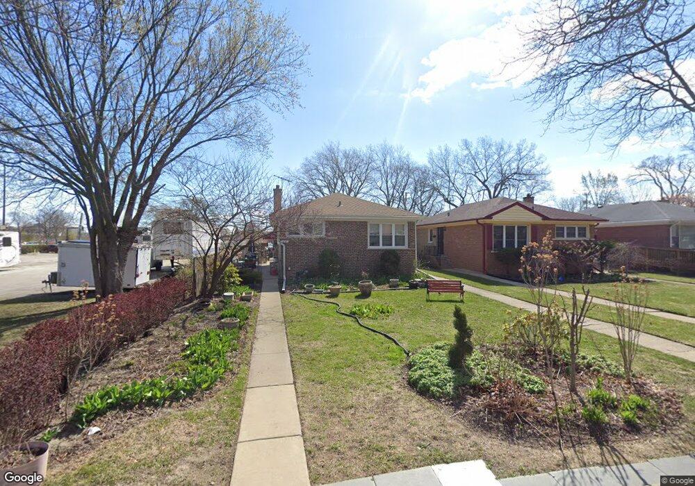
1237 Pitner Ave Evanston, IL 60202
West End NeighborhoodEstimated Value: $401,000 - $461,000
3
Beds
2
Baths
1,025
Sq Ft
$416/Sq Ft
Est. Value
About This Home
This home is located at 1237 Pitner Ave, Evanston, IL 60202 and is currently estimated at $426,669, approximately $416 per square foot. 1237 Pitner Ave is a home located in Cook County with nearby schools including Walker Elementary School, Chute Middle School, and Evanston Township High School.
Ownership History
Date
Name
Owned For
Owner Type
Purchase Details
Closed on
Oct 31, 1995
Sold by
Medina Nicandro and Medina Hortencia
Bought by
Lara David and Lara Sarah M
Current Estimated Value
Home Financials for this Owner
Home Financials are based on the most recent Mortgage that was taken out on this home.
Original Mortgage
$111,200
Interest Rate
7.7%
Create a Home Valuation Report for This Property
The Home Valuation Report is an in-depth analysis detailing your home's value as well as a comparison with similar homes in the area
Home Values in the Area
Average Home Value in this Area
Purchase History
| Date | Buyer | Sale Price | Title Company |
|---|---|---|---|
| Lara David | $139,000 | -- |
Source: Public Records
Mortgage History
| Date | Status | Borrower | Loan Amount |
|---|---|---|---|
| Closed | Lara David | $111,200 |
Source: Public Records
Tax History
| Year | Tax Paid | Tax Assessment Tax Assessment Total Assessment is a certain percentage of the fair market value that is determined by local assessors to be the total taxable value of land and additions on the property. | Land | Improvement |
|---|---|---|---|---|
| 2025 | $6,064 | $37,000 | $10,269 | $26,731 |
| 2024 | $6,064 | $28,660 | $8,498 | $20,162 |
| 2023 | $6,003 | $32,000 | $8,498 | $23,502 |
| 2022 | $6,003 | $32,000 | $8,498 | $23,502 |
| 2021 | $5,590 | $24,394 | $6,019 | $18,375 |
| 2020 | $5,575 | $24,394 | $6,019 | $18,375 |
| 2019 | $5,569 | $27,196 | $6,019 | $21,177 |
| 2018 | $4,654 | $20,424 | $4,957 | $15,467 |
| 2017 | $5,380 | $23,540 | $4,957 | $18,583 |
| 2016 | $6,579 | $28,493 | $4,957 | $23,536 |
| 2015 | $4,652 | $19,972 | $4,249 | $15,723 |
| 2014 | $4,876 | $20,929 | $4,249 | $16,680 |
| 2013 | $4,748 | $20,929 | $4,249 | $16,680 |
Source: Public Records
Map
Nearby Homes
- 1321 Pitner Ave Unit A
- 1120 Pitner Ave
- 2321 Lee St
- 1133 Dodge Ave
- 3334 Wilder St
- 1037 Dodge Ave
- 1213 Darrow Ave
- 1111 Darrow Ave
- 1710 Lake St
- 920 Dodge Ave
- 1042 Dewey Ave
- 1460 Dewey Ave
- 8428 Mccormick Blvd
- 8626 Trumbull Ave
- 826 Brown Ave
- 1810 Washington St
- 8953 Central Park Ave
- 8822 Central Park Ave
- 8260 N Mccormick Blvd
- 1811 Hartrey Ave
- 1233 Pitner Ave
- 1229 Pitner Ave
- 1227 Pitner Ave
- 1225 Pitner Ave
- 1223 Pitner Ave
- 1221 Pitner Ave
- 1236 Pitner Ave
- 1232 Pitner Ave
- 1240 Pitner Ave
- 1222 Hartrey Ave Unit S
- 1228 Pitner Ave
- 1219 Pitner Ave
- 1246 Pitner Ave
- 1220 Hartrey Ave Unit S
- 1220 Hartrey Ave
- 1224 Pitner Ave
- 1305 Pitner Ave
- 2215 Dempster St
- 1222 Pitner Ave
- 1215 Pitner Ave
Your Personal Tour Guide
Ask me questions while you tour the home.