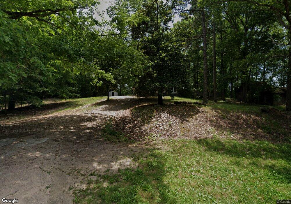
12378 Highway 57 W Pocahontas, TN 38061
Estimated Value: $117,660 - $239,000
3
Beds
1
Bath
2,088
Sq Ft
$80/Sq Ft
Est. Value
About This Home
This home is located at 12378 Highway 57 W, Pocahontas, TN 38061 and is currently estimated at $167,165, approximately $80 per square foot. 12378 Highway 57 W is a home located in McNairy County with nearby schools including Ramer Elementary School, Bethel Springs Elementary School, and Michie Elementary School.
Ownership History
Date
Name
Owned For
Owner Type
Purchase Details
Closed on
Aug 13, 2014
Sold by
Poole Glynn
Bought by
Fortune Kenneth
Current Estimated Value
Home Financials for this Owner
Home Financials are based on the most recent Mortgage that was taken out on this home.
Original Mortgage
$24,000
Outstanding Balance
$18,308
Interest Rate
4.2%
Mortgage Type
New Conventional
Estimated Equity
$148,857
Purchase Details
Closed on
Mar 12, 2009
Bought by
Poole Glynn Teresa
Purchase Details
Closed on
Nov 15, 1994
Create a Home Valuation Report for This Property
The Home Valuation Report is an in-depth analysis detailing your home's value as well as a comparison with similar homes in the area
Home Values in the Area
Average Home Value in this Area
Purchase History
| Date | Buyer | Sale Price | Title Company |
|---|---|---|---|
| Fortune Kenneth | $30,000 | -- | |
| Poole Glynn Teresa | -- | -- | |
| -- | $30,000 | -- |
Source: Public Records
Mortgage History
| Date | Status | Borrower | Loan Amount |
|---|---|---|---|
| Open | Fortune Kenneth | $24,000 |
Source: Public Records
Tax History Compared to Growth
Tax History
| Year | Tax Paid | Tax Assessment Tax Assessment Total Assessment is a certain percentage of the fair market value that is determined by local assessors to be the total taxable value of land and additions on the property. | Land | Improvement |
|---|---|---|---|---|
| 2025 | $343 | $21,775 | $0 | $0 |
| 2024 | $343 | $21,775 | $1,875 | $19,900 |
| 2023 | $343 | $21,775 | $1,875 | $19,900 |
| 2022 | $343 | $21,775 | $1,875 | $19,900 |
| 2021 | $234 | $11,450 | $1,450 | $10,000 |
| 2020 | $234 | $11,450 | $1,450 | $10,000 |
| 2019 | $229 | $11,200 | $1,450 | $9,750 |
| 2018 | $229 | $11,200 | $1,450 | $9,750 |
| 2017 | $229 | $11,200 | $1,450 | $9,750 |
| 2016 | $225 | $11,200 | $1,450 | $9,750 |
| 2015 | $234 | $11,200 | $1,450 | $9,750 |
| 2014 | $202 | $9,650 | $1,600 | $8,050 |
Source: Public Records
Map
Nearby Homes
- 00 Dan Head Rd
- 0 Wolf Pen Rd
- 7000 Wolf Pen Rd
- 822 Chandler Ln
- 0 Essary Springs Rd
- 4496 Vernie Kirk Rd
- 214 Arthur Byrd Rd
- 7225 Highway 57 W
- 0 Carlins Rd
- 155 Carlins Rd
- 2395 Pocahontas Rd
- 0 Butler Chapel Rd
- 367 Eldie Foster Rd
- 7120 Powell Chapel Rd
- 7775 Pea Vine Rd
- 7675 Pea Vine Rd
- 2380 Dunaway Rd
- L1 & L2 Muddy Ridge Rd Unit L1 & L2
- 2114 Eldie Foster Rd
- 9 Sulphur Springs Rd
- 113 Poca Lodge Ln
- 12286 Highway 57 W
- 12256 Highway 57 W
- 12224 Highway 57 W
- 12264 Highway 57 W
- 256 Hwy 57 W
- 12624 Highway 57 W
- 12620 Highway 57 W
- 12066 Highway 57 W
- 11984 Highway 57 W
- 122 Highway 57 W
- 12834 Highway 57 W
- 530 Kirk Cemetery Ln
- 12884 Highway 57 W
- 84 Kirk Cemetery Ln
- 559 Kirk Cemetery Ln
- 561 Kirk Cemetery Ln
- 530 Dan Head Rd
