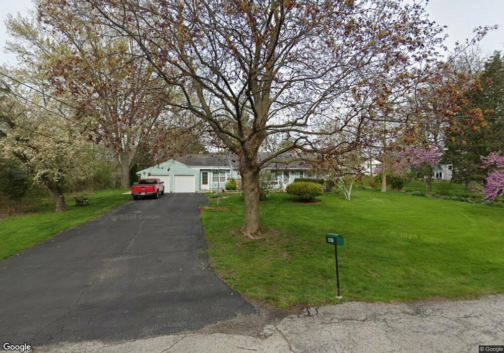
1238 Rogers Rd Unit 2 Gurnee, IL 60031
Estimated Value: $292,223 - $362,000
--
Bed
1
Bath
1,497
Sq Ft
$216/Sq Ft
Est. Value
About This Home
This home is located at 1238 Rogers Rd Unit 2, Gurnee, IL 60031 and is currently estimated at $324,056, approximately $216 per square foot. 1238 Rogers Rd Unit 2 is a home located in Lake County with nearby schools including Spaulding Elementary School, Viking Middle School, and Warren Township High School.
Ownership History
Date
Name
Owned For
Owner Type
Purchase Details
Closed on
May 29, 1998
Sold by
Johnson Richard and Will Of Alice R Johnson
Bought by
Martin Joseph E and Martin Kathleen V
Current Estimated Value
Home Financials for this Owner
Home Financials are based on the most recent Mortgage that was taken out on this home.
Original Mortgage
$145,350
Outstanding Balance
$29,763
Interest Rate
7.32%
Estimated Equity
$294,293
Create a Home Valuation Report for This Property
The Home Valuation Report is an in-depth analysis detailing your home's value as well as a comparison with similar homes in the area
Home Values in the Area
Average Home Value in this Area
Purchase History
| Date | Buyer | Sale Price | Title Company |
|---|---|---|---|
| Martin Joseph E | $153,000 | -- |
Source: Public Records
Mortgage History
| Date | Status | Borrower | Loan Amount |
|---|---|---|---|
| Open | Martin Joseph E | $145,350 |
Source: Public Records
Tax History Compared to Growth
Tax History
| Year | Tax Paid | Tax Assessment Tax Assessment Total Assessment is a certain percentage of the fair market value that is determined by local assessors to be the total taxable value of land and additions on the property. | Land | Improvement |
|---|---|---|---|---|
| 2024 | $7,691 | $90,288 | $26,593 | $63,695 |
| 2023 | $7,198 | $83,825 | $24,689 | $59,136 |
| 2022 | $7,198 | $77,624 | $27,617 | $50,007 |
| 2021 | $6,540 | $74,510 | $26,509 | $48,001 |
| 2020 | $6,337 | $72,678 | $25,857 | $46,821 |
| 2019 | $6,178 | $70,568 | $25,106 | $45,462 |
| 2018 | $6,397 | $71,510 | $26,765 | $44,745 |
| 2017 | $6,266 | $69,461 | $25,998 | $43,463 |
| 2016 | $6,078 | $66,368 | $24,840 | $41,528 |
| 2015 | $5,905 | $62,943 | $23,558 | $39,385 |
| 2014 | $5,832 | $51,119 | $23,238 | $27,881 |
| 2012 | $5,531 | $64,639 | $23,688 | $40,951 |
Source: Public Records
Map
Nearby Homes
- 1554 Deer Run Rd
- 5169 Pembrook Ct Unit 20A
- 35861 N Fuller Rd
- 1391 Sherwood Ct
- 1999 N Fuller Rd
- 5315 Cypress Cir
- 1556 Yew Ct
- 5229 Beechwood Ave
- 2105 Lawson Blvd
- 36396 N Skokie Hwy
- 1848 Princeton Ct
- 5205 Notting Hill Rd
- 0 Tri State Pkwy
- 1896 Windsor Ct
- 287 Kensington Ct Unit 4
- 6091 Washington St
- 17150 Washington St
- 1795 Newport Ct
- 93 Berkshire Ct Unit D
- 0 Ryan Rd
- 1224 Rogers Rd Unit 2
- 1241 Rogers Rd Unit 2
- 1314 Deer Run Rd
- 1225 Rogers Rd
- 1306 Deer Run Rd
- 1208 Rogers Rd Unit 2
- 4981 Carriage Dr
- 1322 Deer Run Rd
- 1211 Rogers Rd
- 4973 Carriage Dr
- 4989 Carriage Dr
- 1330 Deer Run Rd
- 4965 Carriage Dr
- 1225 Fuller Rd Unit 2
- 4970 Ridge Dr
- 1156 Rogers Rd Unit 2
- 1215 Fuller Rd
- 4997 Carriage Dr
- 1309 Deer Run Rd
- 4957 Carriage Dr