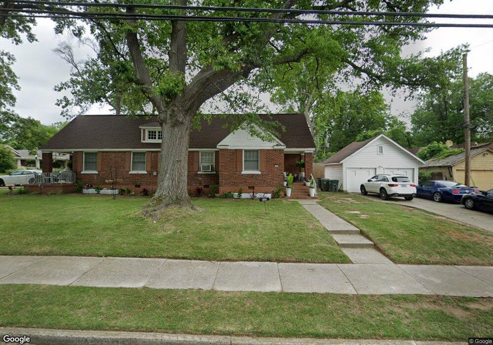
1238 S Barksdale St Memphis, TN 38114
Southeast Memphis NeighborhoodEstimated Value: $127,270 - $177,000
2
Beds
2
Baths
1,535
Sq Ft
$100/Sq Ft
Est. Value
About This Home
This home is located at 1238 S Barksdale St, Memphis, TN 38114 and is currently estimated at $153,318, approximately $99 per square foot. 1238 S Barksdale St is a home located in Shelby County with nearby schools including Hamilton High School, Immaculate Conception Cathedral School, and Immaculate Conception Elementary School.
Ownership History
Date
Name
Owned For
Owner Type
Purchase Details
Closed on
Jun 23, 2000
Sold by
Walton Fred
Bought by
Knox Clinton
Current Estimated Value
Home Financials for this Owner
Home Financials are based on the most recent Mortgage that was taken out on this home.
Original Mortgage
$39,829
Outstanding Balance
$14,451
Interest Rate
8.63%
Mortgage Type
FHA
Estimated Equity
$138,867
Purchase Details
Closed on
Mar 23, 2000
Sold by
Walton Wilbur Lee
Bought by
Walton Fred
Create a Home Valuation Report for This Property
The Home Valuation Report is an in-depth analysis detailing your home's value as well as a comparison with similar homes in the area
Home Values in the Area
Average Home Value in this Area
Purchase History
| Date | Buyer | Sale Price | Title Company |
|---|---|---|---|
| Knox Clinton | $39,850 | -- | |
| Walton Fred | $32,000 | -- |
Source: Public Records
Mortgage History
| Date | Status | Borrower | Loan Amount |
|---|---|---|---|
| Open | Knox Clinton | $39,829 |
Source: Public Records
Tax History Compared to Growth
Tax History
| Year | Tax Paid | Tax Assessment Tax Assessment Total Assessment is a certain percentage of the fair market value that is determined by local assessors to be the total taxable value of land and additions on the property. | Land | Improvement |
|---|---|---|---|---|
| 2025 | $499 | $25,375 | $7,925 | $17,450 |
| 2024 | $499 | $14,725 | $1,925 | $12,800 |
| 2023 | $897 | $14,725 | $1,925 | $12,800 |
| 2022 | $897 | $14,725 | $1,925 | $12,800 |
| 2021 | $908 | $14,725 | $1,925 | $12,800 |
| 2020 | $1,013 | $13,975 | $1,925 | $12,050 |
| 2019 | $1,013 | $13,975 | $1,925 | $12,050 |
| 2018 | $1,013 | $13,975 | $1,925 | $12,050 |
| 2017 | $574 | $13,975 | $1,925 | $12,050 |
| 2016 | $803 | $18,375 | $0 | $0 |
| 2014 | $803 | $18,375 | $0 | $0 |
Source: Public Records
Map
Nearby Homes
- 1910 Foster Ave
- 1852 Glenview Ave
- 1824 Kendale Ave
- 1825 Foster Ave
- 1837 Waverly Ave
- 1800 Foster Ave
- 0 S Barksdale St
- 1804 South Pkwy E
- 2008 Waverly Ave
- 1891 S Parkway E
- 1944 E Mclemore Ave
- 1960 E Mclemore Ave
- 1812 Parkway Terrace
- 1952 Southern Ave
- 1960 Southern Ave
- 1931 Manila Ave
- 1151 Tanglewood St
- 1985 Manila Ave
- 1783 Parkway Terrace
- 1712 Glenview Ave
- 1907 Foster Ave
- 1911 Foster Ave
- 1889 Foster Ave
- 1258 S Barksdale St
- 1906 Kendale Ave
- 1917 Foster Ave
- 1247 S Barksdale St
- 1910 Kendale Ave
- 1883 Foster Ave
- 1253 S Barksdale St
- 1906 Foster Ave
- 1921 Foster Ave
- 1916 Kendale Ave
- 1877 Foster Ave
- 1888 Foster Ave
- 1259 S Barksdale St
- 1920 Kendale Ave
- 1916 Foster Ave
- 1927 Foster Ave
- 1878 Kendale Ave