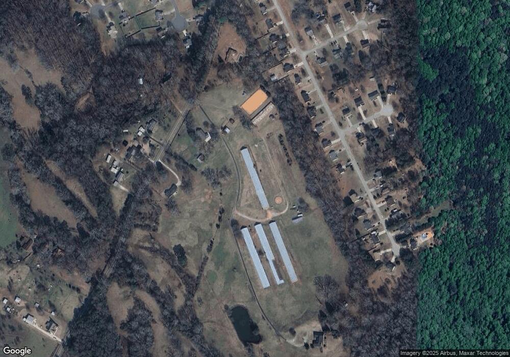
1238 Yearwood Rd Bethlehem, GA 30620
Estimated Value: $281,000 - $688,739
2
Beds
1
Bath
1,649
Sq Ft
$271/Sq Ft
Est. Value
About This Home
This home is located at 1238 Yearwood Rd, Bethlehem, GA 30620 and is currently estimated at $446,935, approximately $271 per square foot. 1238 Yearwood Rd is a home located in Barrow County with nearby schools including Bethlehem Elementary School, Haymon-Morris Middle School, and Apalachee High School.
Ownership History
Date
Name
Owned For
Owner Type
Purchase Details
Closed on
May 3, 2004
Sold by
Camp Henry C
Bought by
Parrish Monika J and Parrish Geoffrey
Current Estimated Value
Home Financials for this Owner
Home Financials are based on the most recent Mortgage that was taken out on this home.
Original Mortgage
$647,434
Interest Rate
5.49%
Mortgage Type
New Conventional
Purchase Details
Closed on
Oct 8, 1998
Bought by
Parrish Monika J
Purchase Details
Closed on
Dec 21, 1995
Sold by
Parker James C and Parker Jan
Bought by
Parrish Geoffrey And
Create a Home Valuation Report for This Property
The Home Valuation Report is an in-depth analysis detailing your home's value as well as a comparison with similar homes in the area
Home Values in the Area
Average Home Value in this Area
Purchase History
| Date | Buyer | Sale Price | Title Company |
|---|---|---|---|
| Parrish Monika J | $93,900 | -- | |
| Parrish Monika J | -- | -- | |
| Parrish Geoffrey And | $652,200 | -- |
Source: Public Records
Mortgage History
| Date | Status | Borrower | Loan Amount |
|---|---|---|---|
| Closed | Parrish Monika J | $647,434 |
Source: Public Records
Tax History Compared to Growth
Tax History
| Year | Tax Paid | Tax Assessment Tax Assessment Total Assessment is a certain percentage of the fair market value that is determined by local assessors to be the total taxable value of land and additions on the property. | Land | Improvement |
|---|---|---|---|---|
| 2024 | $2,250 | $189,436 | $123,419 | $66,017 |
| 2023 | $2,579 | $189,876 | $123,419 | $66,457 |
| 2022 | $2,010 | $169,624 | $123,419 | $46,205 |
| 2021 | $2,028 | $166,913 | $123,419 | $43,494 |
| 2020 | $1,916 | $149,398 | $108,614 | $40,784 |
| 2019 | $1,936 | $149,398 | $108,614 | $40,784 |
| 2018 | $2,093 | $155,778 | $108,614 | $47,164 |
| 2017 | $4,424 | $151,942 | $108,614 | $43,328 |
| 2016 | $1,986 | $176,515 | $6,391 | $170,124 |
| 2015 | $1,982 | $176,515 | $6,391 | $170,124 |
| 2014 | $1,976 | $127,236 | $4,026 | $123,210 |
| 2013 | -- | $115,849 | $81,849 | $34,000 |
Source: Public Records
Map
Nearby Homes
- 303 Carly Ct
- 1408 Wyndham Way
- 164 Manning Gin Rd
- 1050 Bethlehem Church Rd
- 1235 Dale Dr
- 0 McElhannon Rd SW Unit 10581793
- 784 Manger Ave
- 966 David Ave
- 0 Manger Ave E Unit 20154677
- 0 Manger Ave E Unit 20127001
- 3300 Jack Glass Rd
- 724 Manger Ave
- 449 & 455 Carl-Bethlehem Rd
- 1217 Cabin Bridge Rd
- 2796 Barbon Rd
- 797 Ode Peppers Rd
- 898 Harrison Mill Rd
- 1224 Palmer Dr
- 1109 Ravenwood Dr
- 633 Skyland Dr
- 1481 Elise Dr
- 1483 Elise Dr
- 1479 Elise Dr
- 1485 Elise Dr
- 1477 Elise Dr
- 1254 Yearwood Rd
- 1475 Elise Dr
- 1134 Yearwood Rd
- 1473 Elise Dr
- 1230 Yearwood Rd
- 1487 Elise Dr
- 1489 Elise Dr
- 1471 Elise Dr
- 891 Dustin Ct
- 890 Dustin Ct
- 1469 Elise Dr
- 1491 Elise Dr
- 1486 Elise Dr
- 1214 Yearwood Rd
- 0 Dustin Ct Unit 8036792
