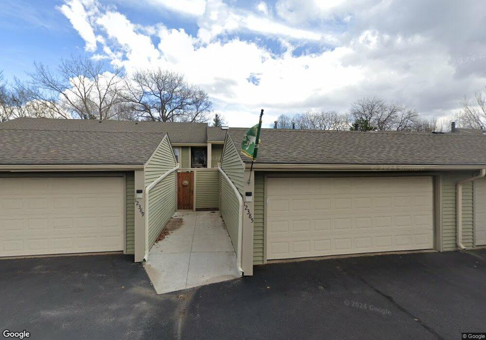
12385 Drake St NW Coon Rapids, MN 55448
Estimated Value: $257,000 - $284,000
3
Beds
2
Baths
1,632
Sq Ft
$167/Sq Ft
Est. Value
About This Home
This home is located at 12385 Drake St NW, Coon Rapids, MN 55448 and is currently estimated at $272,046, approximately $166 per square foot. 12385 Drake St NW is a home located in Anoka County with nearby schools including Lucile Bruner Elementary School, Sand Creek Elementary School, and Laughlin Junior/Senior High School.
Ownership History
Date
Name
Owned For
Owner Type
Purchase Details
Closed on
Jul 1, 2021
Sold by
Dalton Kevin B and Dalton Nancy E
Bought by
Heminger Patrick and Heminger William
Current Estimated Value
Home Financials for this Owner
Home Financials are based on the most recent Mortgage that was taken out on this home.
Original Mortgage
$216,000
Outstanding Balance
$196,285
Interest Rate
3%
Mortgage Type
New Conventional
Estimated Equity
$75,761
Purchase Details
Closed on
Oct 14, 2009
Sold by
Federal Home Loan Mortgage Corporation
Bought by
Dalton Kevin B
Home Financials for this Owner
Home Financials are based on the most recent Mortgage that was taken out on this home.
Original Mortgage
$51,920
Interest Rate
4.95%
Mortgage Type
New Conventional
Create a Home Valuation Report for This Property
The Home Valuation Report is an in-depth analysis detailing your home's value as well as a comparison with similar homes in the area
Home Values in the Area
Average Home Value in this Area
Purchase History
| Date | Buyer | Sale Price | Title Company |
|---|---|---|---|
| Heminger Patrick | $270,000 | All American Title Co Inc | |
| Dalton Kevin B | $64,900 | -- | |
| Heminger Patrick Patrick | $270,000 | -- |
Source: Public Records
Mortgage History
| Date | Status | Borrower | Loan Amount |
|---|---|---|---|
| Open | Heminger Patrick | $216,000 | |
| Previous Owner | Dalton Kevin B | $51,920 | |
| Closed | Heminger Patrick Patrick | $216,000 |
Source: Public Records
Tax History Compared to Growth
Tax History
| Year | Tax Paid | Tax Assessment Tax Assessment Total Assessment is a certain percentage of the fair market value that is determined by local assessors to be the total taxable value of land and additions on the property. | Land | Improvement |
|---|---|---|---|---|
| 2025 | $2,431 | $244,200 | $40,000 | $204,200 |
| 2024 | $2,431 | $243,300 | $40,000 | $203,300 |
| 2023 | $2,233 | $238,200 | $40,000 | $198,200 |
| 2022 | $2,001 | $236,500 | $35,000 | $201,500 |
| 2021 | $2,195 | $192,400 | $38,000 | $154,400 |
| 2020 | $2,045 | $196,900 | $25,000 | $171,900 |
| 2019 | $1,849 | $177,900 | $25,000 | $152,900 |
| 2018 | $1,842 | $158,300 | $0 | $0 |
| 2017 | $1,738 | $153,500 | $0 | $0 |
| 2016 | $1,177 | $102,600 | $0 | $0 |
| 2015 | $949 | $102,600 | $16,200 | $86,400 |
| 2014 | -- | $84,000 | $6,000 | $78,000 |
Source: Public Records
Map
Nearby Homes
- 12463 Drake St NW
- 1625 124th Ave NW
- 12365 Jay St NW
- 1450 126th Ln NW
- 1593 126th Ln NW
- 1727 121st Ln NW
- 12554 Grouse St NW
- 12010 Eagle St NW
- 1449 119th Ln NW
- 12488 Unity St NW
- 1234 128th Cir NW
- 1520 129th Ave NW
- 12759 Ibis St NW
- 11852 Yellow Pine St NW
- 1930 127th Cir NW
- 2068 124th Ln NW
- 11923 Wintergreen St NW
- 899 123rd Ln NW
- 2147 125th Ln NW
- 1660 Northdale Blvd NW
- 12389 Drake St NW
- 12381 Drake St NW
- 12393 Drake St NW
- 12377 Drake St NW
- 12373 Drake St NW
- 12369 Drake St NW
- 12365 Drake St NW
- 12401 Drake St NW
- 12403 Drake St NW
- 12407 Drake St NW
- 12413 Drake St NW
- 12357 Drake St NW
- 12415 Drake St NW
- 12353 Drake St NW
- 12419 Drake St NW
- 12349 Drake St NW
- 12421 Drake St NW
- 12345 Drake St NW
- 12380 Drake St NW
- 12372 Drake St NW