12386 Macdonald Dr Ojai, CA 93023
Mira Monte NeighborhoodEstimated Value: $2,067,845 - $3,127,000
5
Beds
4
Baths
3,847
Sq Ft
$687/Sq Ft
Est. Value
About This Home
This home is located at 12386 Macdonald Dr, Ojai, CA 93023 and is currently estimated at $2,641,615, approximately $686 per square foot. 12386 Macdonald Dr is a home located in Ventura County with nearby schools including Mira Monte Elementary School, Meiners Oaks Elementary School, and Matilija Junior High.
Ownership History
Date
Name
Owned For
Owner Type
Purchase Details
Closed on
Feb 10, 2021
Sold by
Higson Daniel A and Higson Deanna L
Bought by
Higson Daniel A and Higson Deanna L
Current Estimated Value
Home Financials for this Owner
Home Financials are based on the most recent Mortgage that was taken out on this home.
Original Mortgage
$662,322
Outstanding Balance
$591,861
Interest Rate
2.65%
Mortgage Type
New Conventional
Estimated Equity
$2,049,754
Purchase Details
Closed on
Apr 1, 1999
Sold by
Higson Deanna L
Bought by
Higson Daniel A and Higson Deanna L
Home Financials for this Owner
Home Financials are based on the most recent Mortgage that was taken out on this home.
Original Mortgage
$184,000
Interest Rate
6.91%
Purchase Details
Closed on
Nov 20, 1992
Sold by
Higson Daniel A
Bought by
Higson Deanna L
Create a Home Valuation Report for This Property
The Home Valuation Report is an in-depth analysis detailing your home's value as well as a comparison with similar homes in the area
Home Values in the Area
Average Home Value in this Area
Purchase History
| Date | Buyer | Sale Price | Title Company |
|---|---|---|---|
| Higson Daniel A | -- | Western Resources Title | |
| Higson Daniel A | -- | Commonwealth Land Title Co | |
| Higson Deanna L | -- | -- |
Source: Public Records
Mortgage History
| Date | Status | Borrower | Loan Amount |
|---|---|---|---|
| Open | Higson Daniel A | $662,322 | |
| Closed | Higson Daniel A | $184,000 |
Source: Public Records
Tax History
| Year | Tax Paid | Tax Assessment Tax Assessment Total Assessment is a certain percentage of the fair market value that is determined by local assessors to be the total taxable value of land and additions on the property. | Land | Improvement |
|---|---|---|---|---|
| 2025 | $10,210 | $823,917 | $142,159 | $681,758 |
| 2024 | $10,210 | $807,762 | $139,371 | $668,391 |
| 2023 | $9,843 | $791,924 | $136,638 | $655,286 |
| 2022 | $9,711 | $776,397 | $133,959 | $642,438 |
| 2021 | $9,663 | $761,174 | $131,332 | $629,842 |
| 2020 | $9,424 | $753,372 | $129,987 | $623,385 |
| 2019 | $9,147 | $738,601 | $127,439 | $611,162 |
| 2018 | $9,057 | $724,120 | $124,941 | $599,179 |
| 2017 | $8,894 | $709,923 | $122,492 | $587,431 |
| 2016 | $8,764 | $696,004 | $120,091 | $575,913 |
| 2015 | $8,689 | $685,551 | $118,288 | $567,263 |
| 2014 | $8,297 | $672,124 | $115,972 | $556,152 |
Source: Public Records
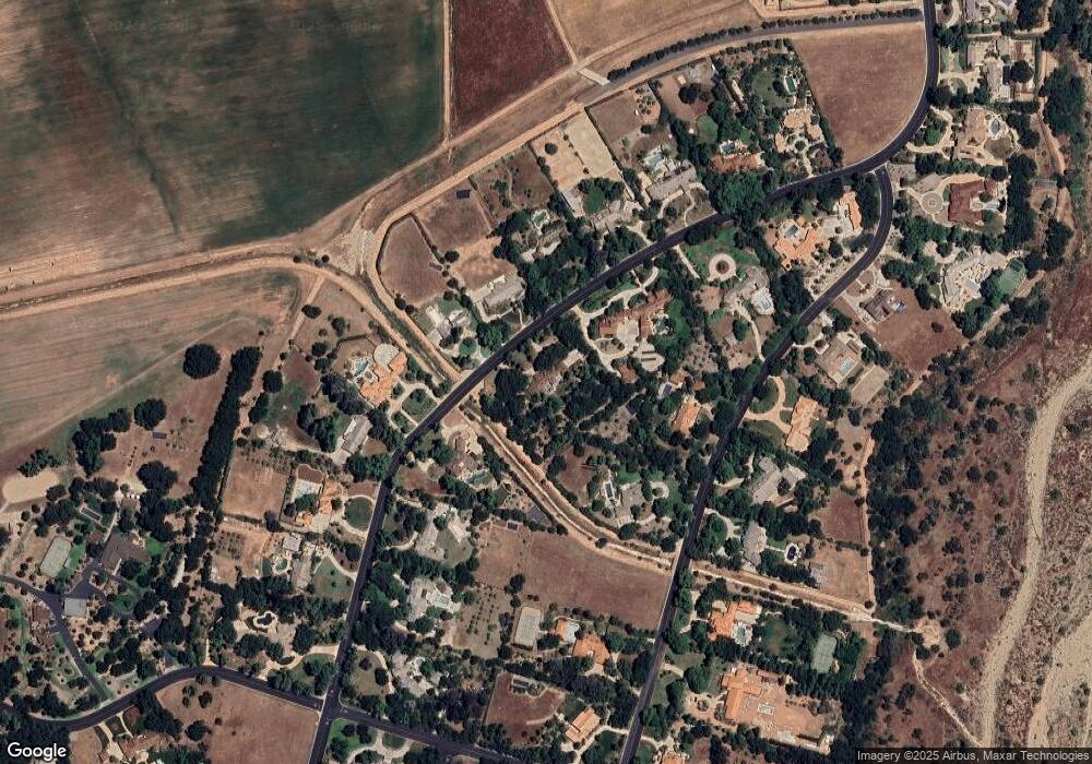
Map
Nearby Homes
- 12250 Linda Flora Dr
- 12140 Macdonald Dr
- 12750 Macdonald Dr
- 12838 Macdonald Dr
- 12986 Macdonald Dr
- 1273 S Rice Rd Unit 4
- 1273 S Rice Rd Unit 12
- 1273 S Rice Rd Unit 100
- 1273 S Rice Rd Unit 45
- 1273 S Rice Rd Unit 100
- 1400 Park Dr
- 1188 Fierro Dr
- 161 La Plaza
- 161 La Plaza Way
- 1157 Woodland Ave
- 1450 S La Luna Ave
- 122 Don Felipe Way Unit 122
- 128 Don Felipe Way
- 56 Don Antonio Way Unit 56
- 1210 S La Luna Ave
- 12407 Macdonald Dr
- 12389 Macdonald Dr
- 12420 Macdonald Dr
- 12313 Linda Flora Dr
- 12339 Linda Flora Dr
- 12341 Linda Flora Dr
- 12360 Macdonald Dr
- #81 Macdonald Dr
- 0 Macdonald Dr Unit 8-1885
- 0 Macdonald Dr Unit 4-3219
- 0 Macdonald Dr
- 12361 Macdonald Dr
- 12339 1234 Linda Flora Dr
- 12421 Macdonald Dr
- 12290 Macdonald Dr
- 12435 Macdonald Dr
- 12339 Macdonald Dr
- 12448 Macdonald Dr
- 12096 Linda Flora Rd
- 12360 Linda Flora Rd
Your Personal Tour Guide
Ask me questions while you tour the home.