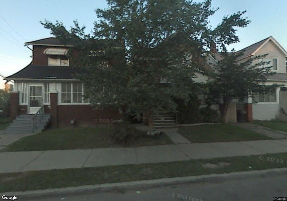
1239 Alter Rd Detroit, MI 48215
Riverbend NeighborhoodEstimated Value: $91,000 - $148,000
Studio
1
Bath
1,344
Sq Ft
$90/Sq Ft
Est. Value
About This Home
This home is located at 1239 Alter Rd, Detroit, MI 48215 and is currently estimated at $121,333, approximately $90 per square foot. 1239 Alter Rd is a home located in Wayne County with nearby schools including Carstens Academy of Aquatic Science, Edward 'Duke' Ellington Conservatory of Music and Art, and Charles L. Spain Elementary-Middle School.
Ownership History
Date
Name
Owned For
Owner Type
Purchase Details
Closed on
Dec 18, 2012
Sold by
Urban Renewal Initiative Llc
Bought by
Urban Renewal Initiative Foundation Llc
Current Estimated Value
Purchase Details
Closed on
Jan 9, 2012
Sold by
Lucina Corporation
Bought by
Urban Renewal Initiative Llc
Purchase Details
Closed on
Apr 25, 2007
Sold by
Howe Charles L and Howe Constance D
Bought by
Howe Charles L and Charles L Howe Trust
Create a Home Valuation Report for This Property
The Home Valuation Report is an in-depth analysis detailing your home's value as well as a comparison with similar homes in the area
Home Values in the Area
Average Home Value in this Area
Purchase History
| Date | Buyer | Sale Price | Title Company |
|---|---|---|---|
| Urban Renewal Initiative Foundation Llc | -- | None Available | |
| Urban Renewal Initiative Foundation Llc | -- | None Available | |
| Urban Renewal Initiative Llc | -- | None Available | |
| Urban Renewal Initiative Llc | -- | None Available | |
| Howe Charles L | -- | None Available |
Source: Public Records
Tax History
| Year | Tax Paid | Tax Assessment Tax Assessment Total Assessment is a certain percentage of the fair market value that is determined by local assessors to be the total taxable value of land and additions on the property. | Land | Improvement |
|---|---|---|---|---|
| 2025 | $15 | $500 | $0 | $0 |
| 2024 | $15 | $200 | $0 | $0 |
| 2023 | $15 | $200 | $0 | $0 |
| 2022 | $17 | $200 | $0 | $0 |
| 2021 | $17 | $200 | $0 | $0 |
| 2020 | $18 | $200 | $0 | $0 |
| 2019 | $18 | $200 | $0 | $0 |
| 2018 | $15 | $200 | $0 | $0 |
| 2017 | $4 | $200 | $0 | $0 |
| 2016 | $18 | $200 | $0 | $0 |
| 2015 | $20 | $200 | $0 | $0 |
| 2013 | $34 | $337 | $0 | $0 |
| 2010 | -- | $5,063 | $354 | $4,709 |
Source: Public Records
Map
Nearby Homes
- 1083 Lakepointe St
- 1048 Lakepointe St Unit A
- 26 Pointe Park Place Unit 303
- 908 Manistique St
- 32 Pointe Park Place Unit 31
- 14536 E Jefferson Ave
- 74 Pointe Park Place Unit 311
- 877 Manistique St
- 2568 Alter Rd
- 2190 Philip St
- 2140 Alter Rd
- 1239 Maryland St
- 395 Chalmers St
- 709 Ashland St
- 1131 Newport St
- 14345 Kercheval St
- 1315 Newport St
- 883 Lakepointe St
- 926 Nottingham Rd Unit 928
- 712 Chalmers St
Your Personal Tour Guide
Ask me questions while you tour the home.