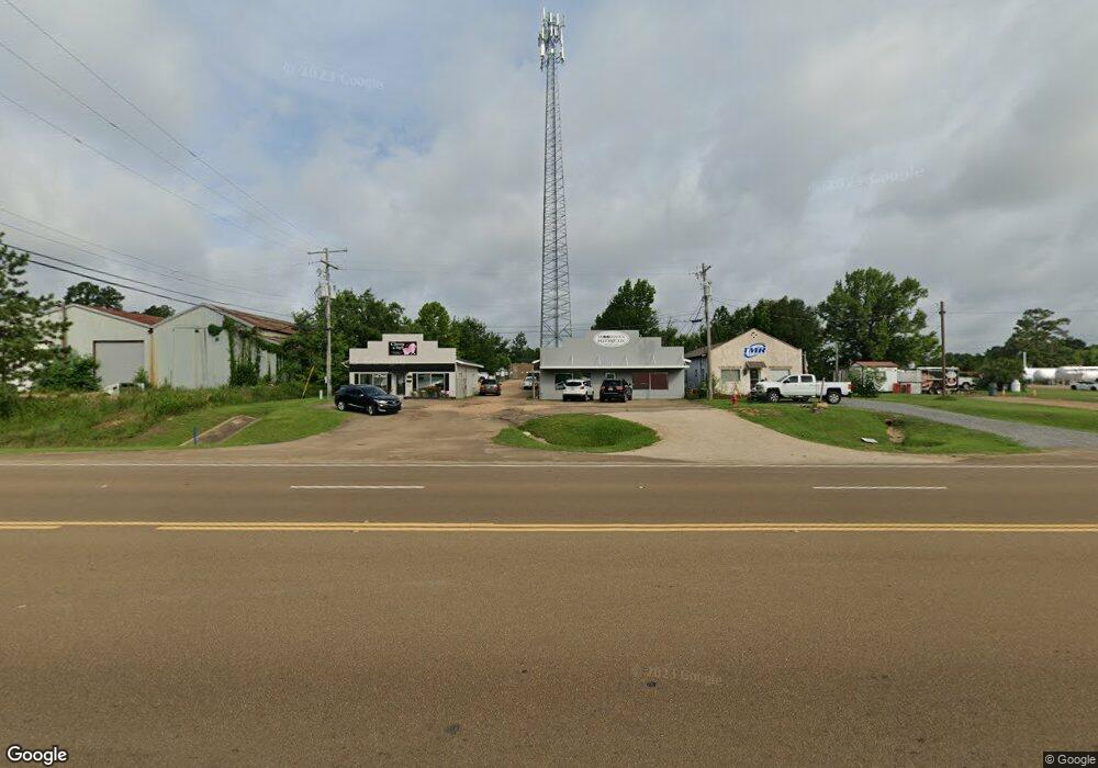
1239 Highway 51 NE Brookhaven, MS 39601
--
Bed
2
Baths
2,780
Sq Ft
0.67
Acres
About This Home
This home is located at 1239 Highway 51 NE, Brookhaven, MS 39601. 1239 Highway 51 NE is a home located in Lincoln County with nearby schools including Brookhaven High School and Faith Presbyterian Kindergarten.
Ownership History
Date
Name
Owned For
Owner Type
Purchase Details
Closed on
May 1, 2025
Sold by
J Squared Properties Llc
Bought by
Mbj Investments Llc
Home Financials for this Owner
Home Financials are based on the most recent Mortgage that was taken out on this home.
Original Mortgage
$192,172
Outstanding Balance
$172,664
Interest Rate
6.67%
Mortgage Type
New Conventional
Purchase Details
Closed on
Mar 9, 2022
Sold by
Mission Enterprises Llc
Bought by
J Squared Properties Llc
Home Financials for this Owner
Home Financials are based on the most recent Mortgage that was taken out on this home.
Original Mortgage
$130,000
Interest Rate
3.92%
Mortgage Type
Seller Take Back
Purchase Details
Closed on
Oct 25, 2010
Sold by
Mission Enterprises Llc
Bought by
Smith Ricky and Smith Heather
Create a Home Valuation Report for This Property
The Home Valuation Report is an in-depth analysis detailing your home's value as well as a comparison with similar homes in the area
Home Values in the Area
Average Home Value in this Area
Purchase History
| Date | Buyer | Sale Price | Title Company |
|---|---|---|---|
| Mbj Investments Llc | -- | None Listed On Document | |
| J Squared Properties Llc | -- | Gardner Group Pa | |
| Smith Ricky | -- | -- |
Source: Public Records
Mortgage History
| Date | Status | Borrower | Loan Amount |
|---|---|---|---|
| Open | Mbj Investments Llc | $192,172 | |
| Previous Owner | J Squared Properties Llc | $130,000 |
Source: Public Records
Tax History Compared to Growth
Tax History
| Year | Tax Paid | Tax Assessment Tax Assessment Total Assessment is a certain percentage of the fair market value that is determined by local assessors to be the total taxable value of land and additions on the property. | Land | Improvement |
|---|---|---|---|---|
| 2024 | $1,809 | $12,534 | $0 | $0 |
| 2023 | $1,809 | $12,414 | $0 | $0 |
| 2022 | $1,802 | $12,414 | $0 | $0 |
| 2021 | $1,873 | $12,414 | $0 | $0 |
| 2020 | $1,617 | $10,316 | $0 | $0 |
| 2019 | $1,620 | $10,316 | $0 | $0 |
| 2018 | $1,617 | $10,316 | $0 | $0 |
| 2016 | $1,540 | $10,116 | $0 | $0 |
| 2015 | -- | $10,116 | $0 | $0 |
| 2014 | -- | $10,116 | $0 | $0 |
Source: Public Records
Map
Nearby Homes
- 733 NE Industrial Rd
- 00 Love St
- 1336 Union St
- 515 Urban Ln
- 511 White Oak Dr
- 502 Urban Ln
- 430 Crider Dr
- 713 Ann St
- 715 Ann St
- 411 Crider Dr
- 1012 N Jackson St
- 404 Crider Dr
- 1608 N Jackson St
- 210 Industrial Park Rd NE
- 906 Myra St
- 809 Robertson St
- XXXX Highway 51 N
- 982 Dunn-Ratcliff Rd NW
- 211 Rogers Cir
- 0 U S Highway 51
- 1241 Us Hwy 51ne
- 1243 Highway 51 NE
- 1243 Hwy 51ne
- 1252 Highway 51 NE
- 1256 Hwy 51ne
- 0 Hwy 51ne
- 10 Gleason Loop NE
- 1219 U S 51
- 654 Industrial Park Rd NE
- 664 Industrial Park Rd NE
- 664 Industrial Park Rd NE
- 1212 Highway 51 NE
- 1225 Gleason Loop NE
- 1210 Hwy 51ne
- 1240 & 1246 Calcote Loop
- 1238 Field Lark Ln NE
- 1213 Gleason Loop NE
- 1240 Calcote Loop NE
- 1220 Field Lark Ln NE
- 1205 Love St