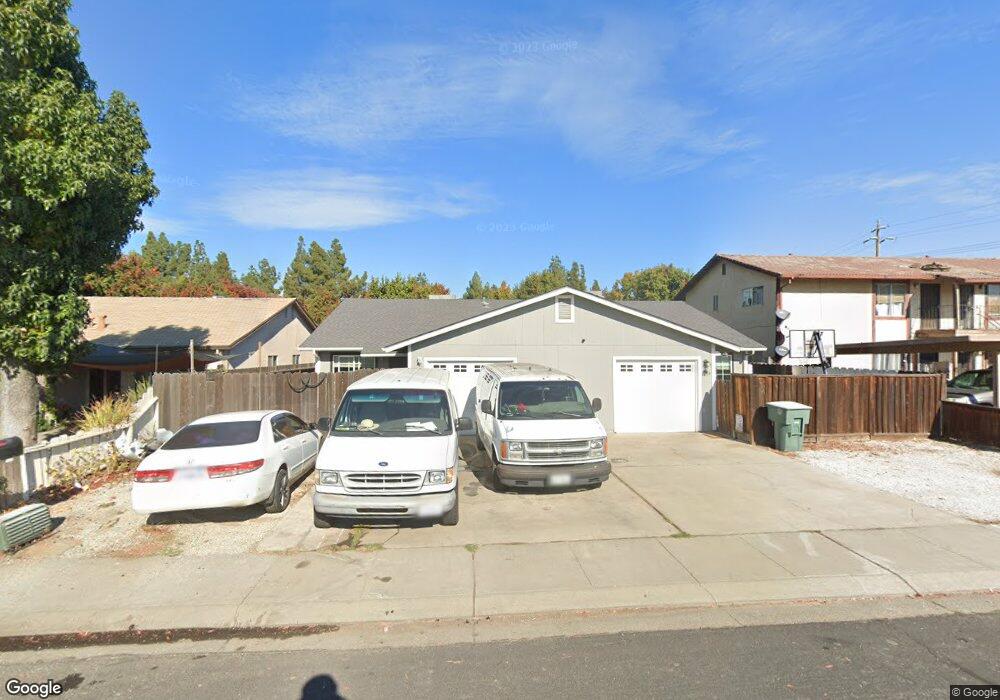
1239 Todd St Manteca, CA 95337
Estimated Value: $563,000 - $632,000
12
Beds
8
Baths
2,205
Sq Ft
$270/Sq Ft
Est. Value
About This Home
This home is located at 1239 Todd St, Manteca, CA 95337 and is currently estimated at $596,030, approximately $270 per square foot. 1239 Todd St is a home located in San Joaquin County with nearby schools including Brock Elliott Elementary School and Sierra High School.
Ownership History
Date
Name
Owned For
Owner Type
Purchase Details
Closed on
Jun 14, 2021
Sold by
Boehm Jean Marie
Bought by
Boehm Eric Michael and Boehm Jean Marie
Current Estimated Value
Purchase Details
Closed on
Oct 21, 2020
Sold by
Lee Dianne
Bought by
Boehm Jean Marie
Purchase Details
Closed on
Mar 10, 2004
Sold by
Sholer Elvis E and Joan Sholer W
Bought by
Lee Douglas and Lee Dianne
Purchase Details
Closed on
Oct 18, 2003
Sold by
Barton Laurie Ellen
Bought by
Sholer Elvis E and Joan Sholer W
Create a Home Valuation Report for This Property
The Home Valuation Report is an in-depth analysis detailing your home's value as well as a comparison with similar homes in the area
Home Values in the Area
Average Home Value in this Area
Purchase History
| Date | Buyer | Sale Price | Title Company |
|---|---|---|---|
| Boehm Eric Michael | -- | None Available | |
| Boehm Jean Marie | -- | North American Title Co Inc | |
| Lee Dianne | -- | North American Title Co Inc | |
| Lee Douglas | $335,000 | Fidelity Natl Title Ins Co | |
| Sholer Elvis E | -- | Chicago Title Co |
Source: Public Records
Tax History Compared to Growth
Tax History
| Year | Tax Paid | Tax Assessment Tax Assessment Total Assessment is a certain percentage of the fair market value that is determined by local assessors to be the total taxable value of land and additions on the property. | Land | Improvement |
|---|---|---|---|---|
| 2025 | $5,313 | $476,276 | $142,171 | $334,105 |
| 2024 | $5,164 | $466,938 | $139,384 | $327,554 |
| 2023 | $5,101 | $457,783 | $136,651 | $321,132 |
| 2022 | $5,025 | $448,808 | $133,972 | $314,836 |
| 2021 | $4,971 | $440,009 | $131,346 | $308,663 |
| 2020 | $4,770 | $435,499 | $130,000 | $305,499 |
| 2019 | $4,708 | $426,960 | $127,451 | $299,509 |
| 2018 | $4,646 | $418,589 | $124,952 | $293,637 |
| 2017 | $4,578 | $410,382 | $122,502 | $287,880 |
| 2016 | $2,454 | $220,000 | $70,000 | $150,000 |
| 2014 | $2,147 | $200,000 | $50,000 | $150,000 |
Source: Public Records
Map
Nearby Homes
- 1164 Marion St
- 217 Grand Prix Ave
- 1015 Tenaya Ct
- 889 Magrath Ave
- 1338 Alfa Romeo Ct
- 883 El Dorado St
- 1121 Wawona St
- 311 Teresa Place
- 119 Almond Ave
- 802 W Center St
- 215 Almond Ave
- 819 Wawona St
- 620 Nevada St
- 516 S Veach Ave
- 414 Cherry Ln Unit G
- 455 Cherry Ln Unit A
- 463 Golf Cir W Unit W
- 480 Cherry Ln Unit E
- 1188 Merganser Place
- 1833 Rail St
- 1229 Todd St
- 1249 Todd St
- 1265 Todd St
- 1219 Todd St
- 418 Lynette Place
- 1218 Todd St
- 456 Lynette Place
- 419 Lynette Place
- 438 Lynette Place
- 349 S Union Rd
- 380 Vel Place
- 356 Vel Place
- 437 S Union Rd
- 437 Lynette Place
- 338 Vel Place
- 338 Vel Place Unit B
- 338 Vel Place Unit A
- 338 Vel Place
- 420 Tami Place
- 454 Lynette Place