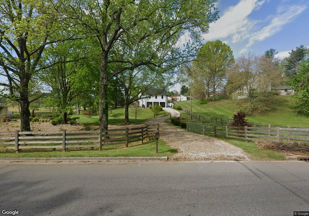
1239 Walters Dr Morristown, TN 37814
Estimated Value: $288,000 - $414,000
2
Beds
2
Baths
1,200
Sq Ft
$269/Sq Ft
Est. Value
About This Home
This home is located at 1239 Walters Dr, Morristown, TN 37814 and is currently estimated at $322,215, approximately $268 per square foot. 1239 Walters Dr is a home with nearby schools including West Elementary School, Lincoln Heights Middle School, and Morristown West High School.
Ownership History
Date
Name
Owned For
Owner Type
Purchase Details
Closed on
Aug 17, 2016
Sold by
Mccoy Jack E
Bought by
Dillinger Steven R
Current Estimated Value
Purchase Details
Closed on
Oct 5, 2005
Sold by
Greene Adren S
Bought by
Mccoy Jack E
Purchase Details
Closed on
Apr 30, 2002
Sold by
Larry Bolton
Bought by
Greene Adren
Purchase Details
Closed on
Jun 10, 1999
Bought by
Bolton Larry and Bolton Karen
Purchase Details
Closed on
Oct 5, 1994
Bought by
Bunch Michael J
Purchase Details
Closed on
Oct 19, 1976
Bought by
Purkey Janice
Create a Home Valuation Report for This Property
The Home Valuation Report is an in-depth analysis detailing your home's value as well as a comparison with similar homes in the area
Home Values in the Area
Average Home Value in this Area
Purchase History
| Date | Buyer | Sale Price | Title Company |
|---|---|---|---|
| Dillinger Steven R | $12,500 | -- | |
| Mccoy Jack E | $30,000 | -- | |
| Greene Adren | $15,000 | -- | |
| Bolton Larry | $24,000 | -- | |
| Bunch Michael J | $18,000 | -- | |
| Purkey Janice | -- | -- |
Source: Public Records
Tax History Compared to Growth
Tax History
| Year | Tax Paid | Tax Assessment Tax Assessment Total Assessment is a certain percentage of the fair market value that is determined by local assessors to be the total taxable value of land and additions on the property. | Land | Improvement |
|---|---|---|---|---|
| 2024 | $671 | $38,100 | $8,625 | $29,475 |
| 2023 | $671 | $38,100 | $0 | $0 |
| 2022 | $1,204 | $38,100 | $8,625 | $29,475 |
| 2021 | $1,197 | $37,875 | $8,625 | $29,250 |
| 2020 | $1,196 | $37,875 | $8,625 | $29,250 |
| 2019 | $1,122 | $33,000 | $7,200 | $25,800 |
| 2018 | $227 | $7,200 | $7,200 | $0 |
| 2017 | $223 | $7,200 | $7,200 | $0 |
| 2016 | $213 | $7,200 | $7,200 | $0 |
| 2015 | $198 | $7,200 | $7,200 | $0 |
| 2014 | -- | $7,200 | $7,200 | $0 |
| 2013 | -- | $7,175 | $0 | $0 |
Source: Public Records
Map
Nearby Homes
- 1033 Walters Dr
- 1626 Cardinal Dr
- 1613 Cardinal Dr
- 941 Heykoop Dr
- 1230 Mcfarland St Unit 37
- 1230 Mcfarland St Unit 3
- 2020 N Economy Rd
- 707 Walters Dr
- 2045 N Economy Rd Unit A3
- 1442 Darbee Dr
- 1318 Secretariat Dr
- 1361 Appalachian Trace
- 2310 Sandstone Dr
- 1476 Darbee Dr
- Lot 267 Waterview Way
- Lot 289 Inlet Cove
- 1770 Walters Dr
- Lot 295 Inlet Cove
- 1233 Walters Dr
- 1307 Walters Dr
- 1232 Walters Dr
- 1310 Walters Dr
- 1306 Bales Dr
- 1225 Walters Dr
- 1311 Walters Dr
- 1230 Walters Dr
- 1477 Walters Dr
- 1467 Walters Dr
- 0 Walters Dr
- 1316 Bales Dr
- 1318 Walters Dr
- 1041 Walters Dr
- 1309 Hodge Dr
- 1204 Walters Dr
- 1305 Hodge Dr
- 1415 Whiteside Dr
- 1301 Hodge Dr
- 1314 Bales Dr