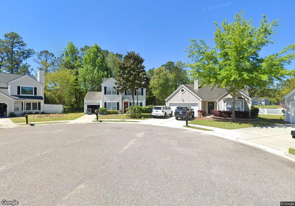
1239 Wando Shores Dr Charleston, SC 29492
Wando NeighborhoodEstimated Value: $425,000 - $497,000
--
Bed
--
Bath
1,366
Sq Ft
$340/Sq Ft
Est. Value
About This Home
This home is located at 1239 Wando Shores Dr, Charleston, SC 29492 and is currently estimated at $464,220, approximately $339 per square foot. 1239 Wando Shores Dr is a home located in Berkeley County.
Ownership History
Date
Name
Owned For
Owner Type
Purchase Details
Closed on
Dec 29, 2015
Sold by
Chakides Harry J and Chakides Brooke A
Bought by
Chaney Paula
Current Estimated Value
Home Financials for this Owner
Home Financials are based on the most recent Mortgage that was taken out on this home.
Original Mortgage
$196,377
Outstanding Balance
$157,648
Interest Rate
4.25%
Mortgage Type
FHA
Estimated Equity
$306,572
Purchase Details
Closed on
Sep 27, 2005
Sold by
D R Horton Inc
Bought by
Chakides Harry J and Chakides Brooke A
Home Financials for this Owner
Home Financials are based on the most recent Mortgage that was taken out on this home.
Original Mortgage
$35,562
Interest Rate
5.25%
Mortgage Type
Stand Alone Second
Create a Home Valuation Report for This Property
The Home Valuation Report is an in-depth analysis detailing your home's value as well as a comparison with similar homes in the area
Home Values in the Area
Average Home Value in this Area
Purchase History
| Date | Buyer | Sale Price | Title Company |
|---|---|---|---|
| Chaney Paula | $200,000 | -- | |
| Chakides Harry J | $237,080 | None Available |
Source: Public Records
Mortgage History
| Date | Status | Borrower | Loan Amount |
|---|---|---|---|
| Open | Chaney Paula | $196,377 | |
| Previous Owner | Chakides Harry J | $35,562 | |
| Previous Owner | Chakides Harry J | $189,664 |
Source: Public Records
Tax History Compared to Growth
Tax History
| Year | Tax Paid | Tax Assessment Tax Assessment Total Assessment is a certain percentage of the fair market value that is determined by local assessors to be the total taxable value of land and additions on the property. | Land | Improvement |
|---|---|---|---|---|
| 2025 | $1,409 | $257,755 | $71,443 | $186,312 |
| 2024 | $1,409 | $10,310 | $2,858 | $7,452 |
| 2023 | $1,409 | $10,310 | $2,858 | $7,452 |
| 2022 | $1,251 | $8,965 | $2,720 | $6,245 |
| 2021 | $1,273 | $8,970 | $2,720 | $6,245 |
| 2020 | $1,297 | $8,965 | $2,720 | $6,245 |
| 2019 | $1,321 | $8,965 | $2,720 | $6,245 |
| 2018 | $1,114 | $7,796 | $2,200 | $5,596 |
| 2017 | $1,470 | $7,796 | $2,200 | $5,596 |
| 2016 | $4,231 | $11,690 | $3,300 | $8,390 |
| 2015 | $3,403 | $12,670 | $3,300 | $9,370 |
| 2014 | $3,237 | $9,800 | $2,700 | $7,100 |
| 2013 | -- | $9,800 | $2,700 | $7,100 |
Source: Public Records
Map
Nearby Homes
- 1436 Water Edge Dr
- 1344 Palm Cove Dr
- 213 Ashmont Dr
- 1126 Peninsula Cove Dr
- 1295 Island Club Dr Unit C
- 1316 Island Club Dr Unit A
- 1002 Marsh Grass Way Unit B
- 237 Nelliefield Creek Dr
- 117 Wando Reach Rd
- 308 Tidal Rice Ct
- 133 Wando Reach Rd
- 214 Rice Mill Place
- 142 Wando Reach Rd
- 141 Wando Reach Rd
- 420 Nelliefield Trail
- 1185 Rivers Reach Dr
- 1019 Jervey Point Rd
- 1157 Oak Bluff Ave
- 1161 Oak Bluff Ave
- 1165 Oak Bluff Ave
- 1240 Wando Shores Dr
- 1237 Wando Shores Dr
- 1238 Wando Shores Dr
- 1235 Wando Shores Dr
- 1236 Wando Shores Dr
- 1233 Wando Shores Dr
- 1232 Wando Shores Dr
- 1468 Harbor Mist Ct
- 1113 Ole Oak Dr
- 1231 Wando Shores Dr
- 1460 Harbor Mist Ct
- 1115 Ole Oak Dr
- 1251 Palm Cove Dr
- 1456 Harbor Mist Ct
- 1228 Wando Shores Dr
- 1472 Harbor Mist Ct
- 1119 Ole Oak Dr
- 1452 Harbor Mist Ct
- 1229 Wando Shores Dr
- 1224 Wando Shores Dr