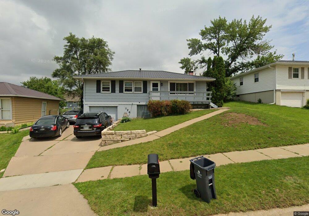
124 33rd Ave SW Cedar Rapids, IA 52404
Southwest Area NeighborhoodEstimated Value: $148,000 - $183,000
3
Beds
2
Baths
1,040
Sq Ft
$166/Sq Ft
Est. Value
About This Home
This home is located at 124 33rd Ave SW, Cedar Rapids, IA 52404 and is currently estimated at $172,226, approximately $165 per square foot. 124 33rd Ave SW is a home located in Linn County with nearby schools including Junction City Elementary School, Grant Elementary School, and Wilson Middle School.
Ownership History
Date
Name
Owned For
Owner Type
Purchase Details
Closed on
Jan 31, 2012
Sold by
Williams Donald M and Williams Deborah A
Bought by
Flanagan Donna M
Current Estimated Value
Home Financials for this Owner
Home Financials are based on the most recent Mortgage that was taken out on this home.
Original Mortgage
$102,768
Outstanding Balance
$70,609
Interest Rate
3.95%
Mortgage Type
FHA
Estimated Equity
$101,617
Create a Home Valuation Report for This Property
The Home Valuation Report is an in-depth analysis detailing your home's value as well as a comparison with similar homes in the area
Home Values in the Area
Average Home Value in this Area
Purchase History
| Date | Buyer | Sale Price | Title Company |
|---|---|---|---|
| Flanagan Donna M | $106,000 | None Available |
Source: Public Records
Mortgage History
| Date | Status | Borrower | Loan Amount |
|---|---|---|---|
| Open | Flanagan Donna M | $102,768 |
Source: Public Records
Tax History
| Year | Tax Paid | Tax Assessment Tax Assessment Total Assessment is a certain percentage of the fair market value that is determined by local assessors to be the total taxable value of land and additions on the property. | Land | Improvement |
|---|---|---|---|---|
| 2025 | $2,478 | $161,700 | $32,000 | $129,700 |
| 2024 | $2,292 | $142,700 | $32,000 | $110,700 |
| 2023 | $2,292 | $150,500 | $32,000 | $118,500 |
| 2022 | $2,144 | $117,500 | $28,800 | $88,700 |
| 2021 | $2,138 | $112,500 | $25,600 | $86,900 |
| 2020 | $2,138 | $105,500 | $25,600 | $79,900 |
| 2019 | $1,912 | $97,200 | $22,400 | $74,800 |
Source: Public Records
Map
Nearby Homes
- 57 33rd Ave SW
- 2937 Southland St SW
- 2955 Bowling St SW Unit E238
- 51 29th Avenue Dr SW Unit D11
- 51 29th Avenue Dr SW Unit C22
- 259 27th Ave SW
- 110 27th Avenue Dr SW
- 2401 Victoria Dr SW
- 7000 Harlan Eddy Dr SW
- 2407 Teresa Dr SW
- 186 22nd Ave SW
- 2430 Linwood St SW
- 2324 Deborah Dr SW
- 1906 K St SW
- 0 41st Avenue Dr SW Unit 202507355
- 0 41st Avenue Dr SW Unit 1 Ac
- 0 41st Avenue Dr SW Unit 2.25 Ac
- 1829 J St SW
- 2262 C St SW
- 648 22nd Ave SW
- 118 33rd Ave SW
- 130 33rd Ave SW
- 161 Red Wing Rd SW
- 167 Red Wing Rd SW
- 155 Red Wing Rd SW
- 112 33rd Ave SW
- 136 33rd Ave SW
- 3302 Clover Dr SW
- 205 Red Wing Rd SW
- 149 Red Wing Rd SW
- 142 33rd Ave SW
- 106 33rd Ave SW
- 3310 Clover Dr SW
- 211 Red Wing Rd SW
- 3301 Clover Dr SW
- 143 Red Wing Rd SW
- 3121 Harvest Hill Rd SW
- 98 33rd Ave SW
- 3309 Clover Dr SW
- 204 Red Wing Rd SW