124 Anthony Wayne Dr Pottstown, PA 19464
Estimated Value: $260,000 - $320,000
3
Beds
2
Baths
1,454
Sq Ft
$203/Sq Ft
Est. Value
About This Home
This home is located at 124 Anthony Wayne Dr, Pottstown, PA 19464 and is currently estimated at $295,093, approximately $202 per square foot. 124 Anthony Wayne Dr is a home located in Montgomery County with nearby schools including Lower Pottsgrove Elementary School, Pottsgrove Middle School, and Pottsgrove Senior High School.
Ownership History
Date
Name
Owned For
Owner Type
Purchase Details
Closed on
Oct 1, 2016
Sold by
Brennan Mark C and Brennan Gwoanyda C
Bought by
Brennan Gwoanyda C
Current Estimated Value
Purchase Details
Closed on
Dec 30, 1998
Sold by
Harvey Timothy S and Harvey Natalie S
Bought by
Brennan Mark C and Brennan Gwoanyda C
Create a Home Valuation Report for This Property
The Home Valuation Report is an in-depth analysis detailing your home's value as well as a comparison with similar homes in the area
Home Values in the Area
Average Home Value in this Area
Purchase History
| Date | Buyer | Sale Price | Title Company |
|---|---|---|---|
| Brennan Gwoanyda C | -- | Attorney | |
| Brennan Mark C | $109,900 | -- |
Source: Public Records
Tax History Compared to Growth
Tax History
| Year | Tax Paid | Tax Assessment Tax Assessment Total Assessment is a certain percentage of the fair market value that is determined by local assessors to be the total taxable value of land and additions on the property. | Land | Improvement |
|---|---|---|---|---|
| 2025 | $4,245 | $88,390 | $29,930 | $58,460 |
| 2024 | $4,245 | $88,390 | $29,930 | $58,460 |
| 2023 | $4,111 | $88,390 | $29,930 | $58,460 |
| 2022 | $4,048 | $88,390 | $29,930 | $58,460 |
| 2021 | $3,989 | $88,390 | $29,930 | $58,460 |
| 2020 | $3,929 | $88,390 | $29,930 | $58,460 |
| 2019 | $3,908 | $88,390 | $29,930 | $58,460 |
| 2018 | $3,908 | $88,390 | $29,930 | $58,460 |
| 2017 | $3,895 | $88,390 | $29,930 | $58,460 |
| 2016 | $3,861 | $88,390 | $29,930 | $58,460 |
| 2015 | $3,861 | $88,390 | $29,930 | $58,460 |
| 2014 | $3,727 | $88,390 | $29,930 | $58,460 |
Source: Public Records
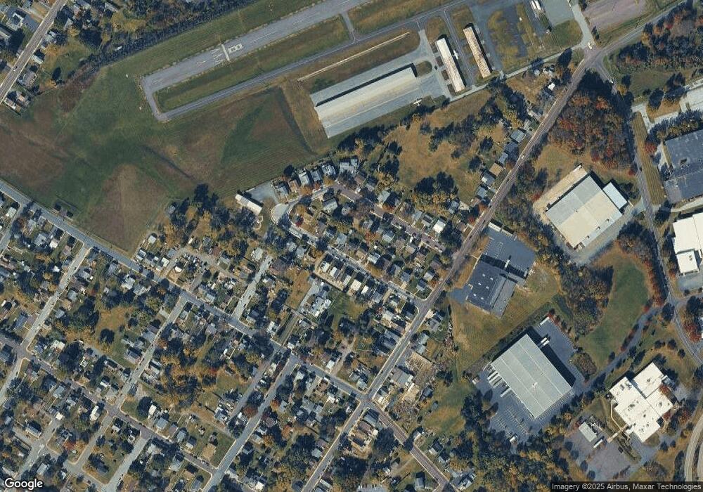
Map
Nearby Homes
- 104 Pulaski St
- 160 Linden St Unit 69
- 1036 Edgewood Dr
- 8 Ryan St
- 530 E Howard St
- 356 W Beech St Unit 160
- 501 and 507 E Race St
- 377 Circle of Progress Dr
- 1209 Grosstown Rd
- 334 Lemon St
- 703 Holly Dr
- 1405 Old Glasgow St
- 601 W High St
- 666 Manatawny St
- 482 Manatawny St
- 443 Manatawny St
- 551 Upland St
- 60 W 3rd St
- 0 Ash St Unit PAMC2144590
- 19 W 4th St
- 136 Anthony Wayne Dr
- 108 Anthony Wayne Dr
- 121 Pulaski St
- 150 Anthony Wayne Dr
- 137 Pulaski St
- 92 Anthony Wayne Dr
- 105 Pulaski St
- 149 Pulaski St
- 125 Anthony Wayne Dr
- 127 Anthony Wayne Dr
- 111 Anthony Wayne Dr
- 87 Pulaski St
- 135 Anthony Wayne Dr
- 109 Anthony Wayne Dr
- 166 Anthony Wayne Dr
- 74 Anthony Wayne Dr
- 137 Anthony Wayne Dr
- 95 Anthony Wayne Dr
- 93 Anthony Wayne Dr
- 153 Anthony Wayne Dr