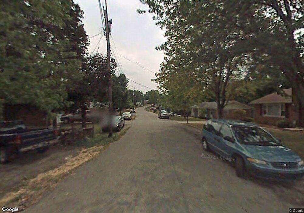
124 Backus Dr Alexandria, KY 41001
Estimated Value: $214,531 - $278,000
3
Beds
2
Baths
1,353
Sq Ft
$177/Sq Ft
Est. Value
About This Home
This home is located at 124 Backus Dr, Alexandria, KY 41001 and is currently estimated at $240,133, approximately $177 per square foot. 124 Backus Dr is a home located in Campbell County with nearby schools including Crossroads Elementary School, Campbell County Middle School, and Campbell County High School.
Ownership History
Date
Name
Owned For
Owner Type
Purchase Details
Closed on
May 26, 2006
Sold by
Howard Timothy Patrick and Howard Karen Marie
Bought by
Howard Timothy Patrick and Howard Karen Marie
Current Estimated Value
Home Financials for this Owner
Home Financials are based on the most recent Mortgage that was taken out on this home.
Original Mortgage
$31,000
Outstanding Balance
$17,860
Interest Rate
6.5%
Mortgage Type
Stand Alone Second
Estimated Equity
$222,273
Purchase Details
Closed on
Nov 6, 2001
Sold by
Milius Robert S
Bought by
Howard Timothy P and Barton Karen M
Home Financials for this Owner
Home Financials are based on the most recent Mortgage that was taken out on this home.
Original Mortgage
$135,925
Outstanding Balance
$52,037
Interest Rate
6.74%
Mortgage Type
FHA
Estimated Equity
$188,096
Create a Home Valuation Report for This Property
The Home Valuation Report is an in-depth analysis detailing your home's value as well as a comparison with similar homes in the area
Home Values in the Area
Average Home Value in this Area
Purchase History
| Date | Buyer | Sale Price | Title Company |
|---|---|---|---|
| Howard Timothy Patrick | -- | Advanced Land Title Agency | |
| Howard Timothy P | $137,000 | -- |
Source: Public Records
Mortgage History
| Date | Status | Borrower | Loan Amount |
|---|---|---|---|
| Open | Howard Timothy Patrick | $31,000 | |
| Open | Howard Timothy P | $135,925 |
Source: Public Records
Tax History Compared to Growth
Tax History
| Year | Tax Paid | Tax Assessment Tax Assessment Total Assessment is a certain percentage of the fair market value that is determined by local assessors to be the total taxable value of land and additions on the property. | Land | Improvement |
|---|---|---|---|---|
| 2025 | $1,228 | $180,000 | $25,000 | $155,000 |
| 2024 | $1,228 | $148,000 | $15,000 | $133,000 |
| 2023 | $1,199 | $148,000 | $15,000 | $133,000 |
| 2022 | $1,366 | $148,000 | $15,000 | $133,000 |
| 2021 | $1,876 | $148,000 | $15,000 | $133,000 |
| 2020 | $1,732 | $134,200 | $12,500 | $121,700 |
| 2019 | $1,716 | $134,200 | $12,500 | $121,700 |
| 2018 | $1,727 | $134,200 | $12,500 | $121,700 |
| 2017 | $1,708 | $134,200 | $12,500 | $121,700 |
| 2016 | $1,637 | $134,200 | $0 | $0 |
| 2015 | $1,675 | $134,200 | $0 | $0 |
| 2014 | $1,616 | $134,200 | $0 | $0 |
Source: Public Records
Map
Nearby Homes
- 0 Aa-Hwy & Rocky View Unit 553765
- 6903 E Alexandria Pike
- 564 Inverness Way
- 6524 Heck Rd
- 7523 Flintshire Dr Unit 4-202
- 7523 Devonshire Dr
- 7497 Devonshire Dr Unit 23-300
- 12 Enzweiler Rd
- 7623 Alexandria Pike
- 7767 Devonshire Dr
- 7781 Arcadia Blvd
- 7797 Promontory Dr
- 1873 Upper Tug Fork Rd Unit Lot 4
- Waverly II Plan at Riffle Ridge
- 6099 Cabin Creek Dr E
- 14 Panorama Dr
- 608 Lake Watch Ct
- 24 Panorama Dr
- 0 Crupper Ln
- 368 Shadow Ridge Dr Unit 24B
