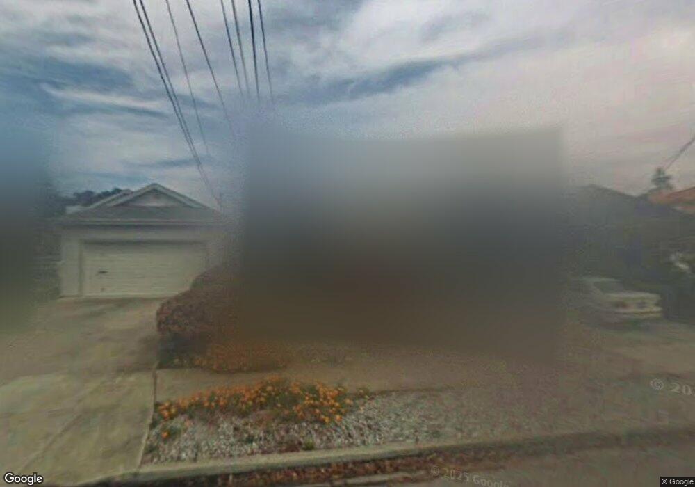
124 Bloomfield Rd Burlingame, CA 94010
Lyon Hoag NeighborhoodEstimated Value: $1,728,264 - $2,548,000
1
Bed
1
Bath
850
Sq Ft
$2,454/Sq Ft
Est. Value
About This Home
This home is located at 124 Bloomfield Rd, Burlingame, CA 94010 and is currently estimated at $2,085,566, approximately $2,453 per square foot. 124 Bloomfield Rd is a home located in San Mateo County with nearby schools including Washington Elementary School, Burlingame Intermediate School, and Burlingame High School.
Ownership History
Date
Name
Owned For
Owner Type
Purchase Details
Closed on
May 29, 2024
Sold by
Dezan Property Trust and De Zan Paul
Bought by
Dezan Paul
Current Estimated Value
Purchase Details
Closed on
May 25, 2024
Sold by
Dezan Paul
Bought by
Baiboo Living Trust and Cai
Purchase Details
Closed on
Feb 27, 2020
Sold by
Dezan Lino
Bought by
Dezan Lino P and Dezan Property Trust
Purchase Details
Closed on
Oct 25, 2005
Sold by
Dezan Lino
Bought by
Dezan Lino
Purchase Details
Closed on
Jul 20, 1998
Sold by
Anna Dezan
Bought by
Dezan Anna
Create a Home Valuation Report for This Property
The Home Valuation Report is an in-depth analysis detailing your home's value as well as a comparison with similar homes in the area
Home Values in the Area
Average Home Value in this Area
Purchase History
| Date | Buyer | Sale Price | Title Company |
|---|---|---|---|
| Dezan Paul | -- | None Listed On Document | |
| Baiboo Living Trust | -- | None Listed On Document | |
| Dezan Lino P | -- | None Available | |
| Dezan Lino | -- | -- | |
| Dezan Anna | -- | -- |
Source: Public Records
Tax History Compared to Growth
Tax History
| Year | Tax Paid | Tax Assessment Tax Assessment Total Assessment is a certain percentage of the fair market value that is determined by local assessors to be the total taxable value of land and additions on the property. | Land | Improvement |
|---|---|---|---|---|
| 2025 | $1,639 | $100,072 | $33,079 | $66,993 |
| 2023 | $1,639 | $96,189 | $31,796 | $64,393 |
| 2022 | $1,589 | $94,304 | $31,173 | $63,131 |
| 2021 | $1,585 | $92,456 | $30,562 | $61,894 |
| 2020 | $1,555 | $91,509 | $30,249 | $61,260 |
| 2019 | $1,531 | $89,715 | $29,656 | $60,059 |
| 2018 | $1,507 | $87,957 | $29,075 | $58,882 |
| 2017 | $1,494 | $86,233 | $28,505 | $57,728 |
| 2016 | $1,442 | $84,544 | $27,947 | $56,597 |
| 2015 | $1,433 | $83,275 | $27,528 | $55,747 |
| 2014 | $1,415 | $81,644 | $26,989 | $54,655 |
Source: Public Records
Map
Nearby Homes
- 700 Howard Ave
- 845 Woodside Way Unit 111
- 847 Woodside Way Unit 218
- 14 Channing Rd
- 481 Rollins Rd
- 29 Humboldt Rd
- 619 Trenton Way
- 815 N Humboldt St Unit 209
- 817 N Humboldt St Unit 202
- 833 N Humboldt St Unit 314
- 928 Peninsula Ave Unit 303
- 932 Peninsula Ave Unit 406
- 928 Peninsula Ave Unit 210
- 974 Peninsula Ave
- 802 N Delaware St Unit 409
- 816 N Delaware St Unit 409
- 800 N Delaware St Unit 316
- 320 Villa Terrace
- 110 Park Rd Unit 101
- 321 Grand Blvd
- 128 Bloomfield Rd
- 120 Bloomfield Rd
- 132 Bloomfield Rd
- 116 Bloomfield Rd
- 114 Bloomfield Rd
- 127 Clarendon Rd
- 129 Clarendon Rd
- 617 Howard Ave
- 134 Bloomfield Rd
- 615 Howard Ave
- 133 Clarendon Rd
- 136 Bloomfield Rd
- 123 Bloomfield Rd
- 609 Howard Ave
- 110 Bloomfield Rd
- 129 Bloomfield Rd
- 115 Clarendon Rd
- 121 Bloomfield Rd
- 605 Howard Ave
- 133 Bloomfield Rd