124 Clark St Powhatan Point, OH 43942
Estimated Value: $70,000 - $130,000
2
Beds
1
Bath
874
Sq Ft
$108/Sq Ft
Est. Value
About This Home
This home is located at 124 Clark St, Powhatan Point, OH 43942 and is currently estimated at $94,065, approximately $107 per square foot. 124 Clark St is a home located in Belmont County with nearby schools including Powhatan Elementary School and Beallsville High School.
Ownership History
Date
Name
Owned For
Owner Type
Purchase Details
Closed on
Jun 5, 2013
Sold by
Greenlee John F and Greenlee Angela M
Bought by
Ravencraft Joyce and Buff Tiffany
Current Estimated Value
Purchase Details
Closed on
Sep 20, 2006
Sold by
Brown Larry A and Brown Amanda D
Bought by
Greenlee John F and Greenlee Angela
Home Financials for this Owner
Home Financials are based on the most recent Mortgage that was taken out on this home.
Original Mortgage
$69,000
Interest Rate
6.58%
Mortgage Type
Purchase Money Mortgage
Purchase Details
Closed on
Jun 24, 2004
Sold by
Brown Ii Larry A
Bought by
Brown Ii Larry A
Purchase Details
Closed on
Sep 14, 1994
Sold by
Strickland James Michael
Bought by
Strickland James Michael
Purchase Details
Closed on
Jan 1, 1986
Bought by
Secretary Of Veterans Aff
Create a Home Valuation Report for This Property
The Home Valuation Report is an in-depth analysis detailing your home's value as well as a comparison with similar homes in the area
Purchase History
We collect this data history from publicly available records. To have your information removed, we recommend requesting removal directly through your county’s website.
| Date | Buyer | Sale Price | Title Company |
|---|---|---|---|
| Ravencraft Joyce | $57,000 | None Available | |
| Greenlee John F | $63,000 | Eagle Title Agency Inc | |
| Brown Ii Larry A | $63,800 | -- | |
| Strickland James Michael | $23,500 | -- | |
| Secretary Of Veterans Aff | -- | -- |
Source: Public Records
Mortgage History
We collect this data history from publicly available records. To have your information removed, we recommend requesting removal directly through your county’s website.
| Date | Status | Borrower | Loan Amount |
|---|---|---|---|
| Previous Owner | Greenlee John F | $69,000 |
Source: Public Records
Tax History
| Year | Tax Paid | Tax Assessment Tax Assessment Total Assessment is a certain percentage of the fair market value that is determined by local assessors to be the total taxable value of land and additions on the property. | Land | Improvement |
|---|---|---|---|---|
| 2025 | $591 | $27,690 | $3,290 | $24,400 |
| 2023 | $401 | $19,760 | $2,720 | $17,040 |
| 2022 | $416 | $19,761 | $2,723 | $17,038 |
| 2021 | $415 | $19,778 | $2,726 | $17,052 |
| 2020 | $337 | $17,200 | $2,370 | $14,830 |
| 2019 | $340 | $17,200 | $2,370 | $14,830 |
| 2018 | $350 | $17,200 | $2,370 | $14,830 |
| 2017 | $331 | $16,510 | $2,060 | $14,450 |
| 2016 | $317 | $16,510 | $2,060 | $14,450 |
| 2015 | $324 | $16,510 | $2,060 | $14,450 |
| 2014 | $344 | $17,410 | $1,870 | $15,540 |
| 2013 | $703 | $17,410 | $1,870 | $15,540 |
Source: Public Records
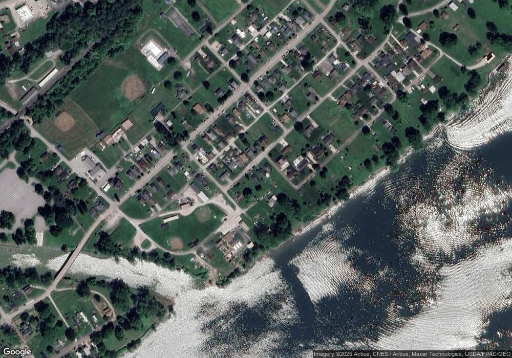
Map
Nearby Homes
- 0 Clark St
- 140 1st St
- 122 3rd St
- 110 Cove Dr
- 55844 T 132
- 55291 Town Hill Rd
- 354 Clearview Heights Dr
- 6 Frontage Dr
- 53 Blue Jay Ln
- 49 Lavender Ln
- 102 Virginia Oaks Dr
- 85 Virginia Oaks Dr
- 54312 Pipe Creek Rd
- 54290 Pipe Creek Rd
- 12 Tiffany Ln
- 0 Sr 148 & T 506 Unit 5187020
- 606 12th St
- 510 11th St
- 56835 Stephens Rd
- 1031 Morton Ave
Your Personal Tour Guide
Ask me questions while you tour the home.