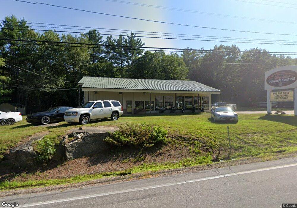
124 Daniel Webster Hwy Meredith, NH 03253
Estimated Value: $686,100
--
Bed
--
Bath
4,240
Sq Ft
$162/Sq Ft
Est. Value
About This Home
This home is located at 124 Daniel Webster Hwy, Meredith, NH 03253 and is currently estimated at $686,100, approximately $161 per square foot. 124 Daniel Webster Hwy is a home located in Belknap County with nearby schools including Inter-Lakes Elementary School and Lakeland School.
Ownership History
Date
Name
Owned For
Owner Type
Purchase Details
Closed on
Feb 24, 2023
Sold by
Ohnemus Walter E and Ohnemus Patricia J
Bought by
Harper Peter J
Current Estimated Value
Home Financials for this Owner
Home Financials are based on the most recent Mortgage that was taken out on this home.
Original Mortgage
$110,000
Outstanding Balance
$106,428
Interest Rate
6.33%
Mortgage Type
Purchase Money Mortgage
Estimated Equity
$579,672
Purchase Details
Closed on
May 6, 1991
Bought by
K & M Rt
Create a Home Valuation Report for This Property
The Home Valuation Report is an in-depth analysis detailing your home's value as well as a comparison with similar homes in the area
Home Values in the Area
Average Home Value in this Area
Purchase History
| Date | Buyer | Sale Price | Title Company |
|---|---|---|---|
| Harper Peter J | $550,000 | None Available | |
| Harper Peter J | $550,000 | None Available | |
| K & M Rt | $50,000 | -- |
Source: Public Records
Mortgage History
| Date | Status | Borrower | Loan Amount |
|---|---|---|---|
| Open | Harper Peter J | $110,000 | |
| Closed | Harper Peter J | $110,000 | |
| Previous Owner | K & M Rt | $56,000 |
Source: Public Records
Tax History Compared to Growth
Tax History
| Year | Tax Paid | Tax Assessment Tax Assessment Total Assessment is a certain percentage of the fair market value that is determined by local assessors to be the total taxable value of land and additions on the property. | Land | Improvement |
|---|---|---|---|---|
| 2024 | $5,318 | $518,300 | $199,300 | $319,000 |
| 2023 | $5,126 | $518,300 | $199,300 | $319,000 |
| 2022 | $5,552 | $397,400 | $132,200 | $265,200 |
| 2021 | $5,337 | $397,400 | $132,200 | $265,200 |
| 2020 | $5,587 | $398,500 | $133,300 | $265,200 |
| 2019 | $6,270 | $394,600 | $130,200 | $264,400 |
| 2018 | $6,164 | $394,600 | $130,200 | $264,400 |
| 2016 | $5,714 | $366,500 | $134,500 | $232,000 |
| 2015 | $5,571 | $366,500 | $134,500 | $232,000 |
| 2014 | $5,435 | $366,500 | $134,500 | $232,000 |
| 2013 | $5,316 | $368,900 | $134,500 | $234,400 |
Source: Public Records
Map
Nearby Homes
- 83 Tracy Way
- 75 Neal Shore Rd
- 21 Upper Ladd Hill Rd Unit D
- 21 Upper Ladd Hill Rd Unit A
- 21 Upper Ladd Hill Rd Unit E
- 21 Upper Ladd Hill Rd Unit C
- 21 Upper Ladd Hill Rd Unit B
- 96 Brook Hill
- 78 Granite Ridge
- 64 Granite Ridge
- 17 Granite Ridge
- Lot 12-3 Needle Eye Rd
- Lot 12-5 Needle Eye Rd
- 0 Parade Rd Unit 5
- 106 Needle Eye Rd
- 113-117 Pinnacle Park Rd
- 00 Nh Rte 132 Route
- 70 Pinnacle Park Rd
- 22 Clover Ridge Rd
- UNIT 49 Stonewall Corners Way Unit 49
- 124 D Hwy W
- 00 D Hwy W
- 120 Daniel Webster Hwy
- 120 Daniel Webster Hywy& van Allen Dr Dr
- 125 Daniel Webster Hwy
- 25 E Bluff Village
- 23 E Bluff Village
- 27 E Bluff Village
- 29 E Bluff Village
- 31 E Bluff Village
- 19 E Bluff Village
- 128 Daniel Webster Hwy
- 14 E Bluff Highlands Unit 14
- 35 E Bluff Village
- 37 E Bluff Village
- 15 Eastbluff Village Unit 6/7
- 15 Eastbluff Village
- 15 E Bluff Village
- 39 E Bluff Village
- 11 E Bluff Village