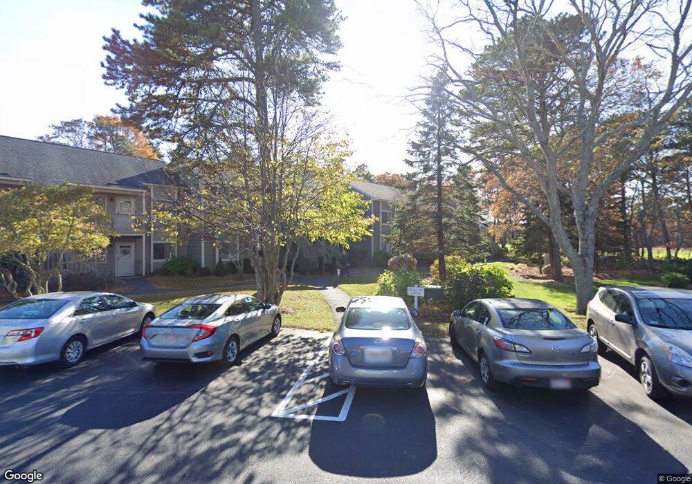
124 Eaton Ln Unit 118 Brewster, MA 02631
Estimated Value: $596,000 - $746,000
2
Beds
2
Baths
800
Sq Ft
$800/Sq Ft
Est. Value
About This Home
This home is located at 124 Eaton Ln Unit 118, Brewster, MA 02631 and is currently estimated at $639,919, approximately $799 per square foot. 124 Eaton Ln Unit 118 is a home located in Barnstable County with nearby schools including Stony Brook Elementary School, Eddy Elementary School, and Nauset Regional Middle School.
Ownership History
Date
Name
Owned For
Owner Type
Purchase Details
Closed on
Oct 16, 2017
Sold by
Fevola Anthony M and Fevola Barbara C
Bought by
Bush-Levine Diane
Current Estimated Value
Purchase Details
Closed on
Dec 5, 1997
Sold by
Trevor Vlg Rt and Plunkett Anne M
Bought by
Fevola Anthony M and Fevola Barbara C
Home Financials for this Owner
Home Financials are based on the most recent Mortgage that was taken out on this home.
Original Mortgage
$75,000
Interest Rate
7.28%
Mortgage Type
Purchase Money Mortgage
Create a Home Valuation Report for This Property
The Home Valuation Report is an in-depth analysis detailing your home's value as well as a comparison with similar homes in the area
Home Values in the Area
Average Home Value in this Area
Purchase History
| Date | Buyer | Sale Price | Title Company |
|---|---|---|---|
| Bush-Levine Diane | $325,000 | -- | |
| Fevola Anthony M | $107,500 | -- | |
| Fevola Anthony M | $107,500 | -- |
Source: Public Records
Mortgage History
| Date | Status | Borrower | Loan Amount |
|---|---|---|---|
| Previous Owner | Fevola Anthony M | $75,000 |
Source: Public Records
Tax History Compared to Growth
Tax History
| Year | Tax Paid | Tax Assessment Tax Assessment Total Assessment is a certain percentage of the fair market value that is determined by local assessors to be the total taxable value of land and additions on the property. | Land | Improvement |
|---|---|---|---|---|
| 2025 | $3,520 | $511,700 | $0 | $511,700 |
| 2024 | $3,249 | $477,100 | $0 | $477,100 |
| 2023 | $2,983 | $426,800 | $0 | $426,800 |
| 2022 | $2,510 | $319,800 | $0 | $319,800 |
| 2021 | $2,500 | $291,400 | $0 | $291,400 |
| 2020 | $2,465 | $286,000 | $0 | $286,000 |
| 2019 | $2,263 | $263,800 | $0 | $263,800 |
| 2018 | $2,058 | $249,200 | $0 | $249,200 |
| 2017 | $1,862 | $221,900 | $0 | $221,900 |
| 2016 | $1,855 | $220,000 | $0 | $220,000 |
| 2015 | $1,774 | $214,800 | $0 | $214,800 |
Source: Public Records
Map
Nearby Homes
- 88 Eaton Ln Unit 88
- 150 Eaton Ln
- 144 Eaton Ln
- 38 Eaton Ln Unit 38
- 137 Eaton Ln
- 159 Old Chatham Rd
- 82 Fletcher Ln Unit I
- 16 Commons Way
- 61 Fletcher Ln Unit H
- 62 Fletcher Ln Unit N
- 60 Fletcher Ln Unit H
- 60 Fletcher Ln Unit C
- 80 Fletcher Ln Unit E
- 81 Fletcher Ln Unit I
- 81 Fletcher Ln Unit C
- 19 Burning Bush Way
- 0 Commons Way Unit 22504099
- 100 Fletcher Ln Unit E