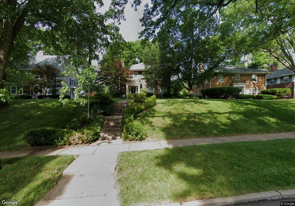
124 Forest Rd Davenport, IA 52803
East End NeighborhoodEstimated Value: $349,000 - $481,000
4
Beds
5
Baths
2,583
Sq Ft
$165/Sq Ft
Est. Value
About This Home
This home is located at 124 Forest Rd, Davenport, IA 52803 and is currently estimated at $426,292, approximately $165 per square foot. 124 Forest Rd is a home located in Scott County with nearby schools including McKinley Elementary School, Sudlow Intermediate School, and Central High School.
Ownership History
Date
Name
Owned For
Owner Type
Purchase Details
Closed on
Sep 1, 2005
Sold by
Chen Timothy T and Chen Jennifer L
Bought by
Cunningham David L
Current Estimated Value
Home Financials for this Owner
Home Financials are based on the most recent Mortgage that was taken out on this home.
Original Mortgage
$66,600
Outstanding Balance
$35,345
Interest Rate
5.82%
Mortgage Type
Stand Alone Second
Estimated Equity
$390,947
Create a Home Valuation Report for This Property
The Home Valuation Report is an in-depth analysis detailing your home's value as well as a comparison with similar homes in the area
Home Values in the Area
Average Home Value in this Area
Purchase History
| Date | Buyer | Sale Price | Title Company |
|---|---|---|---|
| Cunningham David L | $333,000 | None Available |
Source: Public Records
Mortgage History
| Date | Status | Borrower | Loan Amount |
|---|---|---|---|
| Open | Cunningham David L | $66,600 |
Source: Public Records
Tax History Compared to Growth
Tax History
| Year | Tax Paid | Tax Assessment Tax Assessment Total Assessment is a certain percentage of the fair market value that is determined by local assessors to be the total taxable value of land and additions on the property. | Land | Improvement |
|---|---|---|---|---|
| 2025 | $7,164 | $423,660 | $82,280 | $341,380 |
| 2024 | $6,992 | $400,900 | $82,280 | $318,620 |
| 2023 | $7,884 | $400,900 | $82,280 | $318,620 |
| 2022 | $7,920 | $369,100 | $67,320 | $301,780 |
| 2021 | $7,920 | $369,100 | $67,320 | $301,780 |
| 2020 | $7,906 | $363,940 | $67,320 | $296,620 |
| 2019 | $7,588 | $338,150 | $67,320 | $270,830 |
| 2018 | $7,426 | $338,150 | $67,320 | $270,830 |
| 2017 | $1,881 | $338,150 | $67,320 | $270,830 |
| 2016 | $7,406 | $338,150 | $0 | $0 |
| 2015 | $7,406 | $343,230 | $0 | $0 |
| 2014 | $7,622 | $343,230 | $0 | $0 |
| 2013 | $7,492 | $0 | $0 | $0 |
| 2012 | -- | $337,520 | $82,130 | $255,390 |
Source: Public Records
Map
Nearby Homes
- 102 Forest Rd
- 123 Fernwood Ave
- 204 Greenwood Ave
- 229 Brown St
- 49 Kenwood Ave
- 46 Hillcrest Ave
- 248 River Dr
- 2905 Middle Rd
- 438 Grant St
- 1717 Kenwood Ave
- 1806 Forest Rd
- 2950 E 18th St
- 2222 E 13th St
- 1704 Jersey Ridge Rd
- 2122 E 12th St
- 1708 Eastmere Dr
- 740 Mississippi Blvd
- 1637 Broadlawn Ave
- 1504 Christie St
- 704 River Dr
- 126 Forest Rd
- 118 Forest Rd
- 130 Forest Rd
- 112 Forest Rd
- 134 Forest Rd
- 111 Mcclellan Blvd
- 115 Mcclellan Blvd
- 119 Forest Rd
- 119 Mcclellan Blvd
- 125 Forest Rd
- 111 Forest Rd
- 105 Mcclellan Blvd
- 114 Forest Rd
- 114 Forest Rd
- 136 Forest Rd
- 136 Forest St
- 129 Forest Rd
- 105 Fernwood Ave
- 8 Roberts Ave
- 140 Forest Rd