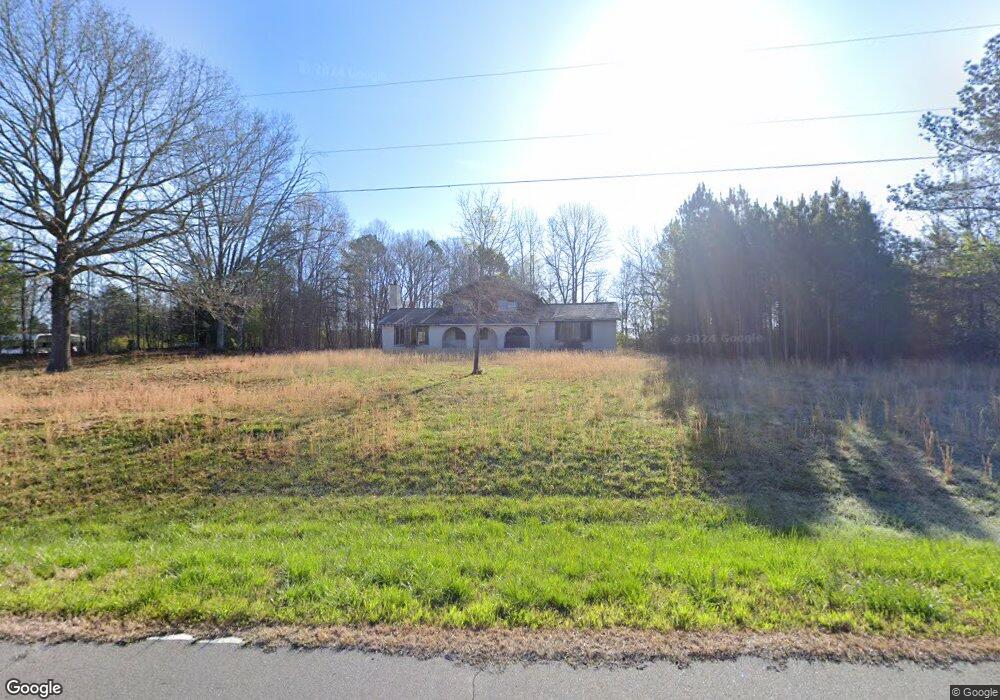
124 Hardin Dr Kings Mountain, NC 28086
Estimated Value: $198,000 - $521,000
--
Bed
--
Bath
2,125
Sq Ft
$142/Sq Ft
Est. Value
About This Home
This home is located at 124 Hardin Dr, Kings Mountain, NC 28086 and is currently estimated at $302,553, approximately $142 per square foot. 124 Hardin Dr is a home located in Cleveland County with nearby schools including Bethware Elementary School, Kings Mountain Intermediate School, and Kings Mountain Middle.
Ownership History
Date
Name
Owned For
Owner Type
Purchase Details
Closed on
May 25, 2021
Sold by
Gantt Dennis W and Gantt Robin
Bought by
Kersey Dan and Kersey Erica Elise
Current Estimated Value
Home Financials for this Owner
Home Financials are based on the most recent Mortgage that was taken out on this home.
Original Mortgage
$105,000
Outstanding Balance
$87,418
Interest Rate
3.1%
Mortgage Type
Future Advance Clause Open End Mortgage
Estimated Equity
$215,135
Purchase Details
Closed on
Oct 4, 2019
Sold by
Jenkins Kevin Alexander and Jenkins Janet
Bought by
Gantt Dennis W and Gantt Robin
Home Financials for this Owner
Home Financials are based on the most recent Mortgage that was taken out on this home.
Original Mortgage
$84,500
Interest Rate
3.5%
Mortgage Type
Future Advance Clause Open End Mortgage
Create a Home Valuation Report for This Property
The Home Valuation Report is an in-depth analysis detailing your home's value as well as a comparison with similar homes in the area
Home Values in the Area
Average Home Value in this Area
Purchase History
| Date | Buyer | Sale Price | Title Company |
|---|---|---|---|
| Kersey Dan | $140,000 | None Available | |
| Gantt Dennis W | $130,000 | None Available |
Source: Public Records
Mortgage History
| Date | Status | Borrower | Loan Amount |
|---|---|---|---|
| Open | Kersey Dan | $105,000 | |
| Previous Owner | Gantt Dennis W | $84,500 |
Source: Public Records
Tax History Compared to Growth
Tax History
| Year | Tax Paid | Tax Assessment Tax Assessment Total Assessment is a certain percentage of the fair market value that is determined by local assessors to be the total taxable value of land and additions on the property. | Land | Improvement |
|---|---|---|---|---|
| 2025 | $1,113 | $175,306 | $175,306 | $0 |
| 2024 | $806 | $101,416 | $101,416 | $0 |
| 2023 | $802 | $101,416 | $101,416 | $0 |
| 2022 | $802 | $101,416 | $101,416 | $0 |
| 2021 | $806 | $101,416 | $101,416 | $0 |
| 2020 | $1,404 | $169,675 | $120,857 | $48,818 |
| 2019 | $1,404 | $169,675 | $120,857 | $48,818 |
| 2018 | $1,404 | $169,675 | $120,857 | $48,818 |
| 2017 | $1,397 | $0 | $0 | $0 |
| 2016 | $1,340 | $169,675 | $120,857 | $48,818 |
| 2015 | $1,167 | $147,747 | $96,489 | $51,258 |
| 2014 | $1,167 | $147,747 | $96,489 | $51,258 |
Source: Public Records
Map
Nearby Homes
- 236 Hoyles Rd
- 107 Stony Point Rd
- 103 Stony Point Rd
- 2207 David Baptist Ch Rd
- 2166 Vestibule Church Rd
- 221 Reliance Rd
- 5139 E Dixon Blvd
- 600 Ginger Dr
- 605 Ginger Dr
- 2167 Vestibule Church Rd Unit 5U, 16U
- 116 Maple Crest Dr
- 5067 E Dixon Blvd
- 117 Dutchess Dr
- 111 High Ridge Ct
- 117 Sir Lancelot Ln
- 1238 Oak Grove Rd
- 132 Yarbro Rd Unit 17
- 132 Yarbro Rd Unit 13
- 100 Tripp Dr
- 145 Crown Ct
- 128 Hardin Dr
- 114 Hardin Dr
- 127 Hardin Dr
- 108 Hardin Dr
- 119 Bolin Alley Dr
- 136 Hardin Dr
- 104 Hardin Dr
- 111 Bolin Dr
- 320 Stony Point Rd
- 218 Stony Point Rd
- 115 Bolin Dr
- 350 Stony Point Rd
- 223 Stoney Point Rd
- 0000 Coley Store Rd
- 221 Stoney Point Rd
- 219 Stony Point Rd
- 315 Stony Point Rd
- 217 Stony Point Rd
- 229 Hoyles Rd
- 207 Hoyles Rd Unit 1