Estimated Value: $449,609 - $536,000
3
Beds
2
Baths
2,142
Sq Ft
$227/Sq Ft
Est. Value
About This Home
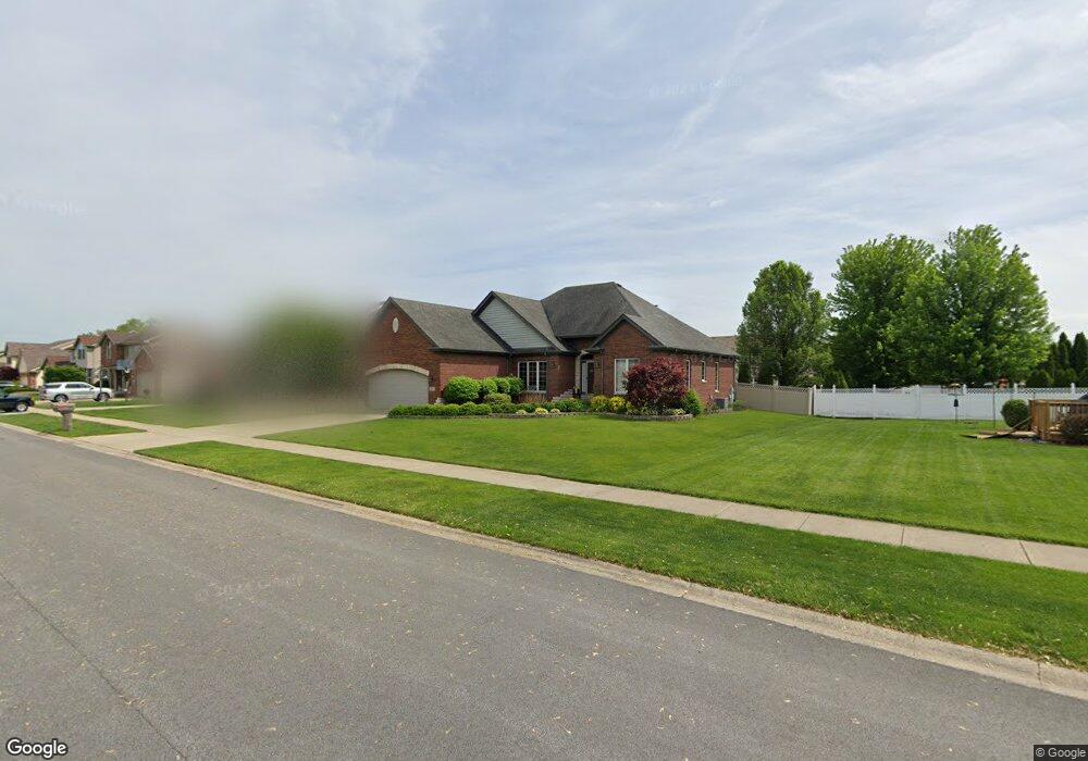
This home is located at 124 High Point Trail, Dyer, IN 46311 and is currently estimated at $485,902, approximately $226 per square foot. 124 High Point Trail is a home located in Lake County with nearby schools including George Bibich Elementary School, Kahler Middle School, and Lake Central High School.
Ownership History
Date
Name
Owned For
Owner Type
Purchase Details
Closed on
Apr 24, 2014
Sold by
Devries Kent and Devries Carol M
Bought by
Balkerma Rick A and Balkerma Kim R
Current Estimated Value
Home Financials for this Owner
Home Financials are based on the most recent Mortgage that was taken out on this home.
Original Mortgage
$200,000
Outstanding Balance
$152,437
Interest Rate
4.41%
Mortgage Type
New Conventional
Estimated Equity
$333,465
Create a Home Valuation Report for This Property
The Home Valuation Report is an in-depth analysis detailing your home's value as well as a comparison with similar homes in the area
Home Values in the Area
Average Home Value in this Area
Purchase History
| Date | Buyer | Sale Price | Title Company |
|---|---|---|---|
| Balkerma Rick A | -- | Fidelity National Title Co |
Source: Public Records
Mortgage History
| Date | Status | Borrower | Loan Amount |
|---|---|---|---|
| Open | Balkerma Rick A | $200,000 |
Source: Public Records
Tax History Compared to Growth
Tax History
| Year | Tax Paid | Tax Assessment Tax Assessment Total Assessment is a certain percentage of the fair market value that is determined by local assessors to be the total taxable value of land and additions on the property. | Land | Improvement |
|---|---|---|---|---|
| 2024 | $10,696 | $449,000 | $72,300 | $376,700 |
| 2023 | $5,091 | $420,600 | $72,300 | $348,300 |
| 2022 | $5,091 | $415,100 | $58,600 | $356,500 |
| 2021 | $4,745 | $395,900 | $57,400 | $338,500 |
| 2020 | $4,586 | $378,400 | $57,400 | $321,000 |
| 2019 | $4,538 | $361,400 | $50,400 | $311,000 |
| 2018 | $4,462 | $349,300 | $50,400 | $298,900 |
| 2017 | $4,016 | $339,600 | $50,400 | $289,200 |
| 2016 | $3,876 | $325,300 | $50,400 | $274,900 |
| 2014 | $3,610 | $314,800 | $50,500 | $264,300 |
| 2013 | $3,540 | $310,200 | $50,400 | $259,800 |
Source: Public Records
Map
Nearby Homes
- 505 Brittany Ln
- 2740 Hillcrest Dr Unit 46
- 101 Ridgewood Ln
- 177 Trillium Dr
- 435 Meadow Brooke Ln
- 515 Meadow Brooke Ln
- 2636 Monaldi Pkwy
- 3659 Towle St
- 516 Meadow Brooke Ln
- 14205 Jay St
- 2446 Forest Park Dr
- 14211 Jay St
- 408 Cherry Hill Rd
- 14207 Jay St
- 11015 Delta Dr
- 924 Quinn Place
- 8680 Henry St
- 14566 W 86th Place
- 2523 James Dr
- 736 Cottonwood Dr
- 136 High Point Trail
- 3189 Maryann Ln
- 3203 Maryann Ln
- 123 Crestview Ln
- 137 Crestview Ln
- 150 High Trail
- 150 High Point Trail
- 3215 Maryann Ln
- 123 High Point Trail
- 3161 Maryann Ln
- 149 Crestview Ln
- 135 High Point Trail
- 162 High Point Trail
- 149 High Point Trail
- 161 Crestview Ln
- 3153 Maryann Ln
- 3194 Maryann Ln
- 161 High Point Trail
- 3184 Maryann Ln
- 174 High Point Trail