124 Homestead Cir Broken Bow, OK 74728
Estimated Value: $164,000 - $276,000
3
Beds
3
Baths
1,352
Sq Ft
$163/Sq Ft
Est. Value
About This Home
This home is located at 124 Homestead Cir, Broken Bow, OK 74728 and is currently estimated at $219,862, approximately $162 per square foot. 124 Homestead Cir is a home located in McCurtain County with nearby schools including Dierks Elementary School, Bennett Elementary School, and Rector Johnson Middle School.
Ownership History
Date
Name
Owned For
Owner Type
Purchase Details
Closed on
Nov 29, 2005
Sold by
Housing Authority Of The City Of Broken
Bought by
Broussard Mary and Broussard Don
Current Estimated Value
Home Financials for this Owner
Home Financials are based on the most recent Mortgage that was taken out on this home.
Original Mortgage
$78,200
Outstanding Balance
$50,350
Interest Rate
6.29%
Mortgage Type
USDA
Estimated Equity
$169,512
Create a Home Valuation Report for This Property
The Home Valuation Report is an in-depth analysis detailing your home's value as well as a comparison with similar homes in the area
Home Values in the Area
Average Home Value in this Area
Purchase History
| Date | Buyer | Sale Price | Title Company |
|---|---|---|---|
| Broussard Mary | -- | None Available |
Source: Public Records
Mortgage History
| Date | Status | Borrower | Loan Amount |
|---|---|---|---|
| Open | Broussard Mary | $78,200 |
Source: Public Records
Tax History Compared to Growth
Tax History
| Year | Tax Paid | Tax Assessment Tax Assessment Total Assessment is a certain percentage of the fair market value that is determined by local assessors to be the total taxable value of land and additions on the property. | Land | Improvement |
|---|---|---|---|---|
| 2024 | $810 | $10,721 | $858 | $9,863 |
| 2023 | $771 | $10,409 | $858 | $9,551 |
| 2022 | $747 | $10,106 | $858 | $9,248 |
| 2021 | $734 | $10,106 | $858 | $9,248 |
| 2020 | $756 | $10,305 | $858 | $9,447 |
| 2019 | $776 | $10,507 | $858 | $9,649 |
| 2018 | $793 | $10,608 | $858 | $9,750 |
| 2017 | $808 | $10,708 | $858 | $9,850 |
| 2016 | $822 | $10,795 | $858 | $9,937 |
| 2015 | $841 | $10,795 | $858 | $9,937 |
| 2014 | $846 | $10,795 | $858 | $9,937 |
Source: Public Records
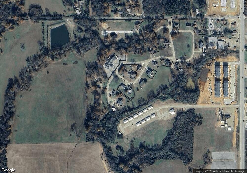
Map
Nearby Homes
- 113 Highmeadow Cir
- 509 Clay St
- 2 Beaver St
- 81 Annie Oak Trail
- 1912 S Park Dr
- 2002 S Park Dr
- 1266 W Memorial St
- 309 E Memorial St
- 707 S Mcclure St
- 67 Carter Creek Ln
- 231 Birch Stone Ln
- 155 Birch Stone Ln
- 72 Green Persimmon Trail
- 129 Alaqua Trail
- 2015 Rodeo Rd
- 13340 Highway 70 E
- 727 Airport Rd
- 250 McGee Chapel Rd
- 408 Wake St
- 185 Marlin Dr
- 126 Homestead Cir
- 103 W Rim Cove
- 130 Homestead Cir
- 113 Homestead Cir
- 105 W Rim Cove
- 115 Homestead Cir
- 253 Yvnnvsh Dr
- 106 W Rim Cove
- 100 W Rim Cove
- 136 Homestead Cir
- 134 Homestead Cir
- 200 Yashau Creek Dr
- 107 Yashau Creek Dr
- 102 Yashau Creek Dr
- 119 High Meadow Cir
- 304 W Memorial St
- 300 W Memorial St
- 306 W Memorial St
- 101 High Meadow Cir
- 105 High Meadow Cir