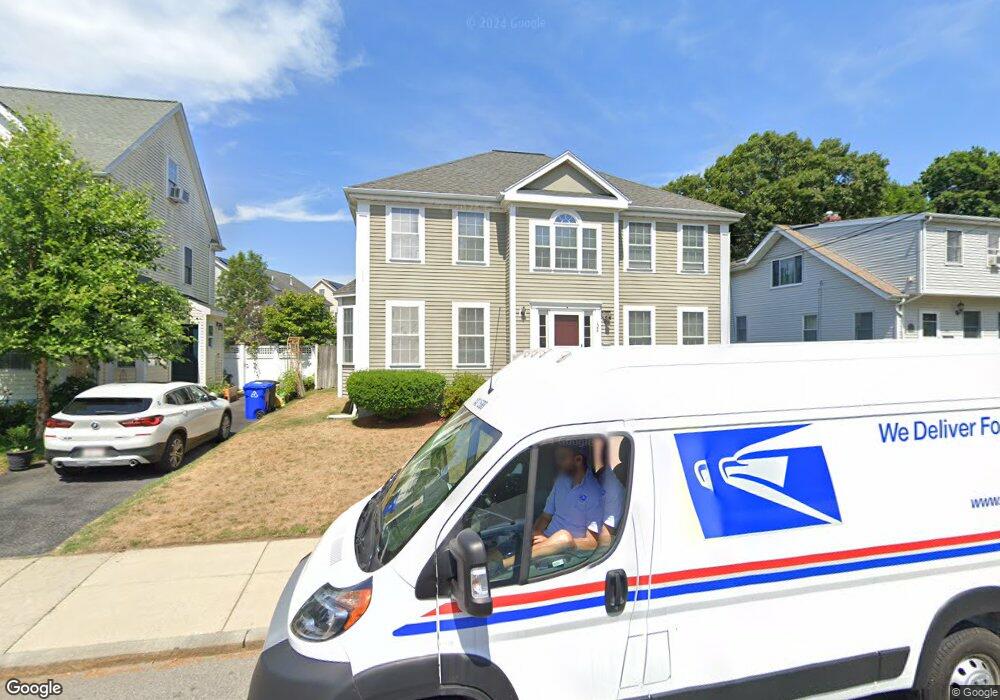
124 Laurie Ave West Roxbury, MA 02132
Upper Washington-Spring Street NeighborhoodEstimated Value: $883,000 - $1,089,000
4
Beds
3
Baths
2,186
Sq Ft
$461/Sq Ft
Est. Value
About This Home
This home is located at 124 Laurie Ave, West Roxbury, MA 02132 and is currently estimated at $1,008,689, approximately $461 per square foot. 124 Laurie Ave is a home located in Suffolk County with nearby schools including St Theresa School, Catholic Memorial School, and The Roxbury Latin School.
Ownership History
Date
Name
Owned For
Owner Type
Purchase Details
Closed on
Feb 4, 2002
Sold by
Design Villas Lp
Bought by
Chandra Jyothi R and Chandra Indira J
Current Estimated Value
Home Financials for this Owner
Home Financials are based on the most recent Mortgage that was taken out on this home.
Original Mortgage
$400,000
Interest Rate
7.15%
Mortgage Type
Purchase Money Mortgage
Create a Home Valuation Report for This Property
The Home Valuation Report is an in-depth analysis detailing your home's value as well as a comparison with similar homes in the area
Home Values in the Area
Average Home Value in this Area
Purchase History
| Date | Buyer | Sale Price | Title Company |
|---|---|---|---|
| Chandra Jyothi R | $445,500 | -- | |
| Chandra Jyothi R | $445,500 | -- |
Source: Public Records
Mortgage History
| Date | Status | Borrower | Loan Amount |
|---|---|---|---|
| Open | Chandra Jyothi R | $443,000 | |
| Closed | Chandra Jyothi R | $400,000 |
Source: Public Records
Tax History Compared to Growth
Tax History
| Year | Tax Paid | Tax Assessment Tax Assessment Total Assessment is a certain percentage of the fair market value that is determined by local assessors to be the total taxable value of land and additions on the property. | Land | Improvement |
|---|---|---|---|---|
| 2025 | $10,683 | $922,500 | $217,300 | $705,200 |
| 2024 | $9,834 | $902,200 | $221,400 | $680,800 |
| 2023 | $9,690 | $902,200 | $221,400 | $680,800 |
| 2022 | $8,924 | $820,200 | $201,300 | $618,900 |
| 2021 | $8,218 | $770,200 | $191,700 | $578,500 |
| 2020 | $7,166 | $678,600 | $178,800 | $499,800 |
| 2019 | $6,749 | $640,300 | $145,800 | $494,500 |
| 2018 | $6,211 | $592,700 | $145,800 | $446,900 |
| 2017 | $6,213 | $586,700 | $145,800 | $440,900 |
| 2016 | $6,087 | $553,400 | $145,800 | $407,600 |
| 2015 | $6,428 | $530,800 | $154,200 | $376,600 |
| 2014 | $6,241 | $496,100 | $154,200 | $341,900 |
Source: Public Records
Map
Nearby Homes
- 63 Johnson St
- 12 Bronx Rd
- 2231 Centre St
- 80 Caledonian Ave
- 1214 Vfw Pkwy Unit 30
- 1214 Vfw Pkwy Unit 37
- 1515 Vfw Pkwy Unit M19
- 14 Sanborn Ave
- 27-29 Temple St
- 46 Bayard St
- 340 Baker St Unit 1
- 55 Cottage Rd
- 28 Dow Rd
- 110 New Haven St
- 191 Glenellen Rd
- 115 Grove St Unit 11
- 111 Grove St Unit 6
- 59 Chesbrough Rd
- 199 Glenellen Rd
- 14 Arbor Ln
- 120 Laurie Ave
- 130 Laurie Ave
- 32 Morrell St
- 32 Morrell St Unit 1
- 48 Morrell St
- 30 Morrell St
- 136 Laurie Ave
- 127 Laurie Ave
- 131 Laurie Ave
- 116 Laurie Ave
- 135 Laurie Ave
- 14 Cypress Terrace
- 52 Morrell St
- 28 Morrell St
- 28 Morrell St Unit 3
- 111 Laurie Ave
- 142 Laurie Ave
- 15 Cypress Terrace
- 112 Laurie Ave
- 101 Cypress Unit 1,101