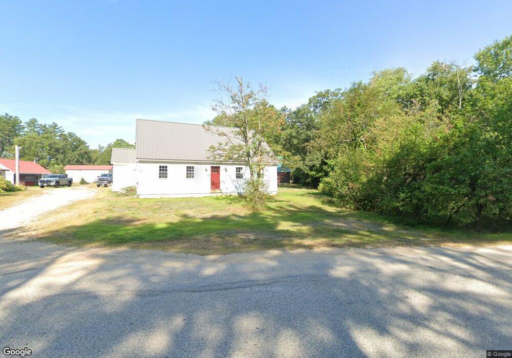
124 Maple Rd Chocorua, NH 03817
Estimated Value: $304,000 - $461,000
2
Beds
2
Baths
2,213
Sq Ft
$174/Sq Ft
Est. Value
About This Home
This home is located at 124 Maple Rd, Chocorua, NH 03817 and is currently estimated at $384,803, approximately $173 per square foot. 124 Maple Rd is a home with nearby schools including Kenneth A. Brett School.
Ownership History
Date
Name
Owned For
Owner Type
Purchase Details
Closed on
Dec 29, 2023
Sold by
Eldridge Tony J
Bought by
Eldridge Tony J and Eldridge Jori A
Current Estimated Value
Purchase Details
Closed on
May 6, 1999
Sold by
Eldridge Est Ida M
Bought by
Eldridge Roland R and Eldridge Alfreda M
Create a Home Valuation Report for This Property
The Home Valuation Report is an in-depth analysis detailing your home's value as well as a comparison with similar homes in the area
Home Values in the Area
Average Home Value in this Area
Purchase History
| Date | Buyer | Sale Price | Title Company |
|---|---|---|---|
| Eldridge Tony J | -- | None Available | |
| Eldridge Roland R | $38,000 | -- |
Source: Public Records
Mortgage History
| Date | Status | Borrower | Loan Amount |
|---|---|---|---|
| Previous Owner | Eldridge Roland R | $55,600 | |
| Previous Owner | Eldridge Roland R | $84,850 |
Source: Public Records
Tax History Compared to Growth
Tax History
| Year | Tax Paid | Tax Assessment Tax Assessment Total Assessment is a certain percentage of the fair market value that is determined by local assessors to be the total taxable value of land and additions on the property. | Land | Improvement |
|---|---|---|---|---|
| 2024 | $4,654 | $322,500 | $69,600 | $252,900 |
| 2023 | $4,466 | $177,000 | $44,400 | $132,600 |
| 2022 | $4,117 | $173,200 | $44,400 | $128,800 |
| 2021 | $3,496 | $157,900 | $44,400 | $113,500 |
| 2020 | $3,336 | $148,400 | $44,400 | $104,000 |
| 2019 | $2,585 | $120,000 | $44,400 | $75,600 |
| 2018 | $2,525 | $109,500 | $18,400 | $91,100 |
| 2017 | $2,488 | $109,600 | $18,400 | $91,200 |
| 2016 | $1,886 | $82,200 | $18,400 | $63,800 |
| 2015 | $1,878 | $82,200 | $18,400 | $63,800 |
| 2013 | $1,928 | $96,400 | $30,900 | $65,500 |
Source: Public Records
Map
Nearby Homes
- 1118 Turkey St
- 80 Elliot Ln
- 17 Amidon Ln
- 78 Berry Ln
- 24 Flynn Ln
- Lot 18.1 White Mountain Hwy
- 10 Margo Ln
- 198 White Tail Ln
- 23 Poco Dr
- 51 Poco Dr
- 1785 White Mountain Hwy
- 330 Benjamin Wentworth Dr
- 70 White Mountain Hwy
- 748 Plains Rd
- 12 Logan Way
- 49 Deer Hill Rd
- 00 Alden Washburn Dr
- 0 Alden Washburn Dr Unit 5066667
- 40 Logan Way
- 26 Logan Way