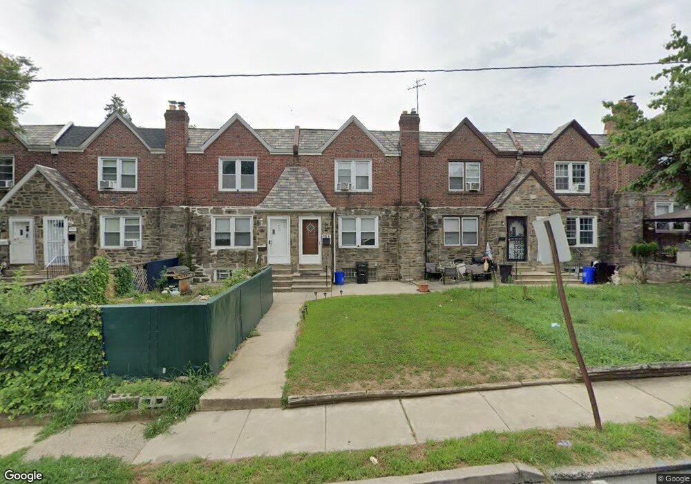
124 Normandy Rd Upper Darby, PA 19082
Estimated Value: $145,000 - $202,000
3
Beds
2
Baths
1,170
Sq Ft
$152/Sq Ft
Est. Value
About This Home
This home is located at 124 Normandy Rd, Upper Darby, PA 19082 and is currently estimated at $178,233, approximately $152 per square foot. 124 Normandy Rd is a home located in Delaware County with nearby schools including Bywood Elementary School, Upper Darby Kdg Center, and Upper Darby High School.
Ownership History
Date
Name
Owned For
Owner Type
Purchase Details
Closed on
Jul 8, 2010
Sold by
Fannie Mae
Bought by
Nguyen Diep and Nguyen Diane
Current Estimated Value
Purchase Details
Closed on
May 12, 2010
Sold by
Lamprinos Grigorios and Kotsamanolis Athanasia
Bought by
Federal National Mortgage Association
Purchase Details
Closed on
Jul 24, 2003
Sold by
Borrelli James J
Bought by
Bank Of America Fsb
Purchase Details
Closed on
Sep 8, 1998
Sold by
Young Carolyn M and Young Kristin M
Bought by
Borrelli James J
Home Financials for this Owner
Home Financials are based on the most recent Mortgage that was taken out on this home.
Original Mortgage
$61,800
Interest Rate
6.89%
Mortgage Type
Purchase Money Mortgage
Create a Home Valuation Report for This Property
The Home Valuation Report is an in-depth analysis detailing your home's value as well as a comparison with similar homes in the area
Home Values in the Area
Average Home Value in this Area
Purchase History
| Date | Buyer | Sale Price | Title Company |
|---|---|---|---|
| Nguyen Diep | $63,000 | None Available | |
| Federal National Mortgage Association | -- | None Available | |
| Bank Of America Fsb | -- | -- | |
| Borrelli James J | $61,800 | Commonwealth Land Title Ins |
Source: Public Records
Mortgage History
| Date | Status | Borrower | Loan Amount |
|---|---|---|---|
| Previous Owner | Borrelli James J | $61,800 |
Source: Public Records
Tax History
| Year | Tax Paid | Tax Assessment Tax Assessment Total Assessment is a certain percentage of the fair market value that is determined by local assessors to be the total taxable value of land and additions on the property. | Land | Improvement |
|---|---|---|---|---|
| 2025 | $3,554 | $84,040 | $23,400 | $60,640 |
| 2024 | $3,554 | $84,040 | $23,400 | $60,640 |
| 2023 | $3,521 | $84,040 | $23,400 | $60,640 |
| 2022 | $3,426 | $84,040 | $23,400 | $60,640 |
| 2021 | $4,620 | $84,040 | $23,400 | $60,640 |
| 2020 | $3,551 | $54,900 | $18,210 | $36,690 |
| 2019 | $3,489 | $54,900 | $18,210 | $36,690 |
| 2018 | $3,449 | $54,900 | $0 | $0 |
| 2017 | $3,359 | $54,900 | $0 | $0 |
| 2016 | $301 | $54,900 | $0 | $0 |
| 2015 | $307 | $54,900 | $0 | $0 |
| 2014 | $307 | $54,900 | $0 | $0 |
Source: Public Records
Map
Nearby Homes
- 148 Normandy Rd
- 142 Normandy Rd
- 140 Normandy Rd
- 138 Normandy Rd
- 134 Normandy Rd
- 128 Normandy Rd
- 126 Normandy Rd
- 122 Normandy Rd
- 120 Normandy Rd
- 118 Normandy Rd
- 144 Normandy Rd
- 146 Normandy Rd
- 150 Normandy Rd
- 152 Normandy Rd
- 154 Normandy Rd
- 7224 Spruce St
- 7224 Calvin Rd
- 136 Normandy Rd
- 7243 Calvin Rd
- 7228 Calvin Rd
Your Personal Tour Guide
Ask me questions while you tour the home.