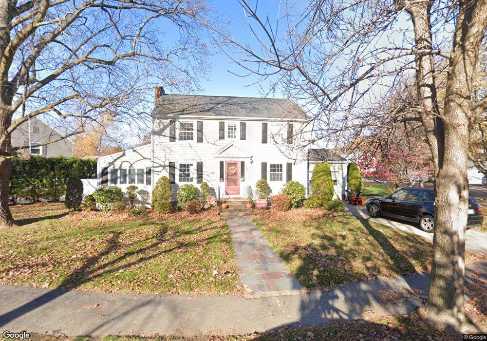
124 Oliver Rd Belmont, MA 02478
Belmont Center NeighborhoodEstimated Value: $1,311,000 - $1,436,000
3
Beds
2
Baths
1,768
Sq Ft
$771/Sq Ft
Est. Value
About This Home
This home is located at 124 Oliver Rd, Belmont, MA 02478 and is currently estimated at $1,362,877, approximately $770 per square foot. 124 Oliver Rd is a home located in Middlesex County with nearby schools including Winn Brook Elementary School, Winthrop L Chenery Middle School, and Belmont High School.
Ownership History
Date
Name
Owned For
Owner Type
Purchase Details
Closed on
Oct 31, 2001
Sold by
Fitzgerald Mary E
Bought by
Lutz David S and Lutz Donna M
Current Estimated Value
Home Financials for this Owner
Home Financials are based on the most recent Mortgage that was taken out on this home.
Original Mortgage
$270,000
Outstanding Balance
$106,307
Interest Rate
6.82%
Mortgage Type
Purchase Money Mortgage
Estimated Equity
$1,256,570
Create a Home Valuation Report for This Property
The Home Valuation Report is an in-depth analysis detailing your home's value as well as a comparison with similar homes in the area
Home Values in the Area
Average Home Value in this Area
Purchase History
| Date | Buyer | Sale Price | Title Company |
|---|---|---|---|
| Lutz David S | $530,000 | -- |
Source: Public Records
Mortgage History
| Date | Status | Borrower | Loan Amount |
|---|---|---|---|
| Open | Lutz David S | $270,000 |
Source: Public Records
Tax History Compared to Growth
Tax History
| Year | Tax Paid | Tax Assessment Tax Assessment Total Assessment is a certain percentage of the fair market value that is determined by local assessors to be the total taxable value of land and additions on the property. | Land | Improvement |
|---|---|---|---|---|
| 2025 | $13,668 | $1,200,000 | $736,000 | $464,000 |
| 2024 | $12,862 | $1,218,000 | $867,000 | $351,000 |
| 2023 | $13,477 | $1,199,000 | $866,000 | $333,000 |
| 2022 | $13,618 | $1,178,000 | $792,000 | $386,000 |
| 2021 | $6,005 | $1,163,000 | $784,000 | $379,000 |
| 2020 | $5,890 | $1,150,000 | $772,000 | $378,000 |
| 2019 | $5,457 | $950,000 | $598,000 | $352,000 |
| 2018 | $5,351 | $884,000 | $538,000 | $346,000 |
| 2017 | $10,609 | $836,000 | $494,000 | $342,000 |
| 2016 | $10,324 | $822,000 | $494,000 | $328,000 |
| 2015 | $9,520 | $738,000 | $419,000 | $319,000 |
Source: Public Records
Map
Nearby Homes
- 326 Lake St
- 314 Channing Rd
- 242 Claflin St
- 31 Pondview Rd Unit 33
- 7 Broad St
- 73 Trowbridge St Unit 73A
- 73 Trowbridge St Unit 73B
- 43 Brunswick Rd
- 4 Stony Brook Rd
- 55 S Normandy Ave
- 22 Hamilton Rd Unit 206
- 93 Griswold St Unit 93
- 95 Griswold St Unit 95
- 23 Loomis St Unit 23
- 176 Channing Rd
- 59 Hamilton Rd
- 63 Loomis St Unit 63
- 10 Radcliffe Rd
- 48 Hamilton Rd
- 46 Hamilton Rd