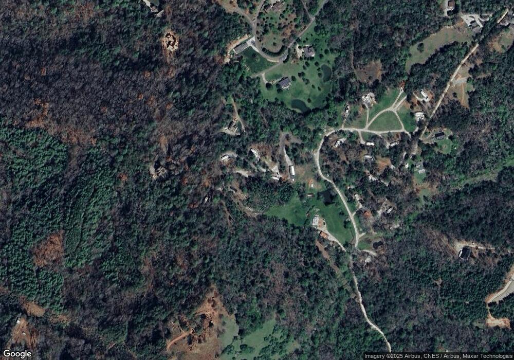
124 Pawprint Ln Franklin, NC 28734
Estimated Value: $211,216 - $229,000
1
Bed
1
Bath
408
Sq Ft
$539/Sq Ft
Est. Value
About This Home
This home is located at 124 Pawprint Ln, Franklin, NC 28734 and is currently estimated at $219,739, approximately $538 per square foot. 124 Pawprint Ln is a home located in Macon County with nearby schools including Iotla Valley Elementary School, Mountain View Intermediate School, and Macon Middle School.
Ownership History
Date
Name
Owned For
Owner Type
Purchase Details
Closed on
Nov 18, 2022
Sold by
Meigs Richard Andrew and Meigs Amanda Lashaun
Bought by
Butterfield Linda Jeanne
Current Estimated Value
Home Financials for this Owner
Home Financials are based on the most recent Mortgage that was taken out on this home.
Original Mortgage
$75,000
Outstanding Balance
$72,526
Interest Rate
6.61%
Estimated Equity
$147,213
Purchase Details
Closed on
Apr 14, 2021
Sold by
Ccjs Llc
Bought by
Meigs Richard Andrew and Meigs Amanda Lashaun
Home Financials for this Owner
Home Financials are based on the most recent Mortgage that was taken out on this home.
Original Mortgage
$114,943
Interest Rate
3%
Mortgage Type
New Conventional
Create a Home Valuation Report for This Property
The Home Valuation Report is an in-depth analysis detailing your home's value as well as a comparison with similar homes in the area
Home Values in the Area
Average Home Value in this Area
Purchase History
| Date | Buyer | Sale Price | Title Company |
|---|---|---|---|
| Butterfield Linda Jeanne | $175,000 | -- | |
| Butterfield Linda Jeanne | $175,000 | -- | |
| Meigs Richard Andrew | $35,000 | Equity Natl Ttl & Closing Sv | |
| Meigs Richard Andrew | $35,000 | Equity National Title | |
| Meigs Richard Andrew | $35,000 | Equity Natl Ttl & Closing Sv | |
| Meigs Richard Andrew | $35,000 | Equity National Title |
Source: Public Records
Mortgage History
| Date | Status | Borrower | Loan Amount |
|---|---|---|---|
| Open | Butterfield Linda Jeanne | $75,000 | |
| Previous Owner | Meigs Richard Andrew | $114,943 |
Source: Public Records
Tax History Compared to Growth
Tax History
| Year | Tax Paid | Tax Assessment Tax Assessment Total Assessment is a certain percentage of the fair market value that is determined by local assessors to be the total taxable value of land and additions on the property. | Land | Improvement |
|---|---|---|---|---|
| 2025 | $718 | $171,700 | $48,390 | $123,310 |
| 2024 | $718 | $171,700 | $48,390 | $123,310 |
| 2023 | $581 | $171,700 | $48,390 | $123,310 |
| 2022 | $581 | $92,070 | $25,000 | $67,070 |
| 2021 | $581 | $92,070 | $25,000 | $67,070 |
Source: Public Records
Map
Nearby Homes
- 228 Bear Pen Cove
- 854 Snow Hill Rd
- 932 Snow Hill Rd
- 00 Rickman Creek Rd
- 20 W Mills Rd
- Lot 7 Snow Hill Rd
- 00 Elevation Dr
- 0 Roland Rickman Rd
- 29 T and E Ln
- 01 Gem Lake Estates Rd
- 384 Redbud Ln
- 207 Ives Ln
- 00 Gem Lake Estates Rd
- 9999 Kimberly Ln Unit 17
- 9999 Kimberly Ln Unit 21
- 9999 Kimberly Ln Unit 18
- 9999 Kimberly Ln Unit 20
- 9999 Kimberly Ln Unit 19
- 191 Misty Mountain Ridge
- 0 Rose Creek Rd Unit 26040547
- 124 Pawprint Ln Unit 29
- 88 Pawprint Ln
- 107 Pawprint Ln
- 101/107 Pawprint Ln
- 101 Pawprint Ln
- 128 Garden Ridge Rd
- 318 Deforest Ln
- 142 Golden Grove
- 240 Bear Pen Cove
- 0 Golden Grove Dr Unit 37717
- 00 Golden Grove Dr
- 0 Golden Grove Dr Unit 19
- 40 Golden Grove Dr
- 104 Bear Pen Cove
- 414 Red Oak Rd
- 63 Bear Pen Cove
- 269 Deforest Ln
- 9 Bear Pen Cove
- 314 van Carter Rd
- 340 Red Oak Rd
