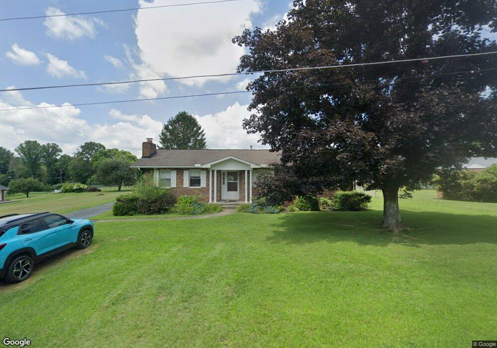
124 Perdue St Daniels, WV 25832
Estimated Value: $166,227 - $208,000
3
Beds
2
Baths
1,380
Sq Ft
$142/Sq Ft
Est. Value
About This Home
This home is located at 124 Perdue St, Daniels, WV 25832 and is currently estimated at $196,307, approximately $142 per square foot. 124 Perdue St is a home located in Raleigh County with nearby schools including Daniels Elementary School, Shady Spring Middle School, and Shady Spring High School.
Ownership History
Date
Name
Owned For
Owner Type
Purchase Details
Closed on
May 14, 2008
Sold by
Adams Grear Brenda Gail and Adams Carl William
Bought by
Adams Timothy Dale and Adams Jeanine Denise
Current Estimated Value
Home Financials for this Owner
Home Financials are based on the most recent Mortgage that was taken out on this home.
Original Mortgage
$133,000
Outstanding Balance
$84,118
Interest Rate
5.94%
Mortgage Type
VA
Estimated Equity
$112,189
Create a Home Valuation Report for This Property
The Home Valuation Report is an in-depth analysis detailing your home's value as well as a comparison with similar homes in the area
Home Values in the Area
Average Home Value in this Area
Purchase History
| Date | Buyer | Sale Price | Title Company |
|---|---|---|---|
| Adams Timothy Dale | $133,000 | -- |
Source: Public Records
Mortgage History
| Date | Status | Borrower | Loan Amount |
|---|---|---|---|
| Open | Adams Timothy Dale | $133,000 |
Source: Public Records
Tax History Compared to Growth
Tax History
| Year | Tax Paid | Tax Assessment Tax Assessment Total Assessment is a certain percentage of the fair market value that is determined by local assessors to be the total taxable value of land and additions on the property. | Land | Improvement |
|---|---|---|---|---|
| 2025 | $763 | $63,120 | $7,860 | $55,260 |
| 2024 | $741 | $61,680 | $7,860 | $53,820 |
| 2023 | $727 | $60,540 | $7,860 | $52,680 |
| 2022 | $727 | $60,540 | $7,860 | $52,680 |
| 2021 | $713 | $59,340 | $7,860 | $51,480 |
| 2020 | $729 | $60,300 | $8,820 | $51,480 |
| 2019 | $729 | $60,300 | $8,820 | $51,480 |
| 2018 | $717 | $59,340 | $7,860 | $51,480 |
| 2017 | $717 | $59,340 | $7,860 | $51,480 |
| 2016 | $729 | $59,340 | $7,860 | $51,480 |
| 2015 | $742 | $60,420 | $7,260 | $53,160 |
| 2014 | $742 | $60,420 | $7,260 | $53,160 |
Source: Public Records
Map
Nearby Homes
- 195 C and O Dam Rd
- 315 Camp Rd
- 161 Uplands Ln Unit 7
- 125 March Chapel
- 142 Abbey Ln Unit 11
- 128 Locust St
- 133 Mary's Trail
- 126 Mary's Trail Unit 4
- 142 Mary's Trail Unit 6
- 201 Windsor Ct Unit 6
- 191 Windsor Ct Unit 7
- 161 Windsor Ct Unit 10
- 150 Windsor Ct Unit 21
- 151 Windsor Ct Unit 11
- 256 Dan Mont Vista
- 142 Cherry St
- 170 County Route 19 14
- 0 Old Crow Rd
- 361 Barnstaple Dr Unit 20
- 101 Angelica Place Unit 52
- 116 Perdue St
- 231 C and O Dam Rd
- 117 Parsonage Dr
- 125 Perdue St
- 106 Perdue St
- 243 C and O Dam Rd
- 117 Perdue St
- 203 Parsonage Dr
- 219 C and O Dam Rd
- 107 Perdue St
- 211 Parsonage Dr
- 124 Parsonage Dr
- 209 C and O Dam Rd
- 209 C and O Dam Rd
- 218 Camp Rd
- 201 Camp Rd
- 217 Parsonage Dr
- 230 C and O Dam Rd
- 238 C and O Dam Rd
- 244 C and O Dam Rd