124 Pheasant Ridge Dr Montrose, MN 55363
Estimated Value: $397,336 - $439,000
4
Beds
4
Baths
2,998
Sq Ft
$138/Sq Ft
Est. Value
About This Home
This home is located at 124 Pheasant Ridge Dr, Montrose, MN 55363 and is currently estimated at $414,584, approximately $138 per square foot. 124 Pheasant Ridge Dr is a home located in Wright County with nearby schools including Montrose Elementary School, Buffalo Community Middle School, and Buffalo Senior High School.
Ownership History
Date
Name
Owned For
Owner Type
Purchase Details
Closed on
Aug 1, 2016
Sold by
Niesen Nicholas A and Niesen Kellie K
Bought by
Clark Ryan M and Clark Katherine A
Current Estimated Value
Purchase Details
Closed on
Jun 3, 2005
Sold by
Key Land Homes
Bought by
Niesen Nicholas A and Niesen Kellie K
Purchase Details
Closed on
Sep 16, 2003
Sold by
Triscon Development Inc
Bought by
Key & Land Homes
Create a Home Valuation Report for This Property
The Home Valuation Report is an in-depth analysis detailing your home's value as well as a comparison with similar homes in the area
Home Values in the Area
Average Home Value in this Area
Purchase History
| Date | Buyer | Sale Price | Title Company |
|---|---|---|---|
| Clark Ryan M | $256,000 | Burnet Title | |
| Niesen Nicholas A | $260,000 | -- | |
| Key & Land Homes | $185,270 | -- |
Source: Public Records
Tax History Compared to Growth
Tax History
| Year | Tax Paid | Tax Assessment Tax Assessment Total Assessment is a certain percentage of the fair market value that is determined by local assessors to be the total taxable value of land and additions on the property. | Land | Improvement |
|---|---|---|---|---|
| 2025 | $4,836 | $386,300 | $65,000 | $321,300 |
| 2024 | $4,670 | $380,400 | $65,000 | $315,400 |
| 2023 | $4,514 | $404,400 | $81,000 | $323,400 |
| 2022 | $4,280 | $360,700 | $72,000 | $288,700 |
| 2021 | $4,232 | $299,100 | $40,000 | $259,100 |
| 2020 | $4,052 | $289,600 | $40,000 | $249,600 |
| 2019 | $3,826 | $272,900 | $0 | $0 |
| 2018 | $3,282 | $253,400 | $0 | $0 |
| 2017 | $2,980 | $218,500 | $0 | $0 |
| 2016 | $2,832 | $0 | $0 | $0 |
| 2015 | $2,778 | $0 | $0 | $0 |
| 2014 | -- | $0 | $0 | $0 |
Source: Public Records
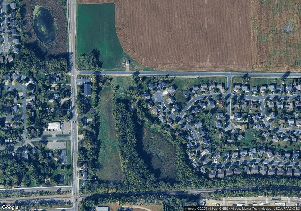
Map
Nearby Homes
- 137 Pheasant Ridge Dr
- 150 Pheasant Ridge Dr
- 426 Dillon Ave N
- 149 Mindy Ln
- 161 Mindy Ln Unit 9
- 301 Center Ave S
- 610 Emerson Ave N
- 703 7th St N
- 517 2nd St S
- 726 7th St N
- 305 Garfield Ave S
- 684 Aspen Ln
- 643 Fieldcrest Ave N
- 683 Aspen Ln
- 690 Aspen Ln
- 685 Aspen Ln
- 645 Fieldcrest Ave N
- 687 Aspen Ln
- 692 Aspen Ln
- 689 Aspen Ln
- 126 Pheasant Ridge Dr
- 122 Pheasant Ridge Dr
- 128 Pheasant Ridge Dr
- 120 Pheasant Ridge Dr
- 125 Pheasant Ridge Dr
- 121 Pheasant Ridge Dr
- 123 Pheasant Ridge Dr
- 127 Pheasant Ridge Dr
- 201 Quail Dr
- 132 Pheasant Ridge Dr
- 200 Quail Dr
- 202 Quail Dr
- 203 Quail Dr
- 134 Pheasant Ridge Dr
- 133 Pheasant Ridge Dr
- 136 Pheasant Ridge Dr
- 205 Quail Dr
- 135 Pheasant Ridge Dr
- 240 Buffalo Ave N
- 206 Quail Dr