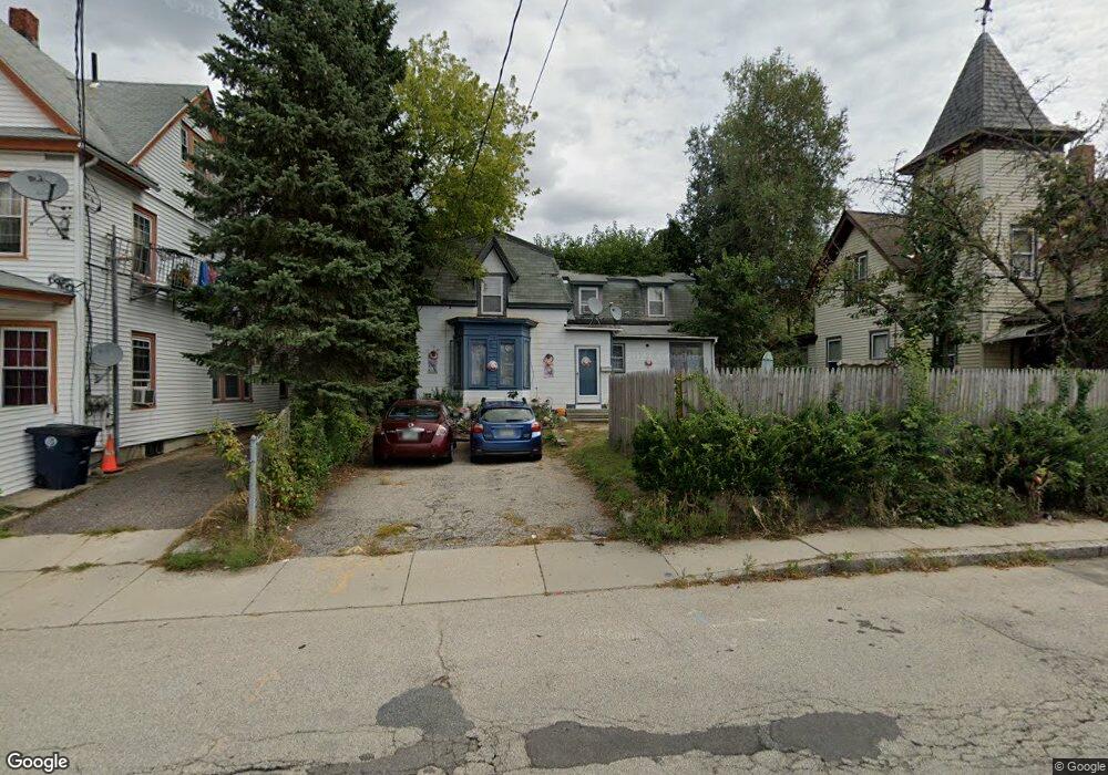
124 Pine St Nashua, NH 03060
South End Nashua NeighborhoodEstimated Value: $389,296 - $491,000
3
Beds
2
Baths
1,666
Sq Ft
$251/Sq Ft
Est. Value
About This Home
This home is located at 124 Pine St, Nashua, NH 03060 and is currently estimated at $418,574, approximately $251 per square foot. 124 Pine St is a home located in Hillsborough County with nearby schools including Fairgrounds Elementary School, Elm Street Middle School, and Nashua High School South.
Ownership History
Date
Name
Owned For
Owner Type
Purchase Details
Closed on
Nov 25, 1998
Sold by
Zukatis Albert W and Zukatis Carol A
Bought by
Dwyer Albert and Dwyer Rita
Current Estimated Value
Home Financials for this Owner
Home Financials are based on the most recent Mortgage that was taken out on this home.
Original Mortgage
$60,750
Interest Rate
6.83%
Create a Home Valuation Report for This Property
The Home Valuation Report is an in-depth analysis detailing your home's value as well as a comparison with similar homes in the area
Home Values in the Area
Average Home Value in this Area
Purchase History
| Date | Buyer | Sale Price | Title Company |
|---|---|---|---|
| Dwyer Albert | $67,500 | -- |
Source: Public Records
Mortgage History
| Date | Status | Borrower | Loan Amount |
|---|---|---|---|
| Open | Dwyer Albert | $80,000 | |
| Closed | Dwyer Albert | $60,750 |
Source: Public Records
Tax History
| Year | Tax Paid | Tax Assessment Tax Assessment Total Assessment is a certain percentage of the fair market value that is determined by local assessors to be the total taxable value of land and additions on the property. | Land | Improvement |
|---|---|---|---|---|
| 2025 | $5,153 | $306,200 | $117,400 | $188,800 |
| 2024 | $4,869 | $306,200 | $117,400 | $188,800 |
| 2023 | $4,567 | $250,500 | $93,900 | $156,600 |
| 2022 | $4,527 | $250,500 | $93,900 | $156,600 |
| 2021 | $3,813 | $164,200 | $62,600 | $101,600 |
| 2020 | $3,713 | $164,200 | $62,600 | $101,600 |
| 2019 | $3,573 | $164,200 | $62,600 | $101,600 |
| 2018 | $3,483 | $164,200 | $62,600 | $101,600 |
| 2017 | $4,044 | $156,800 | $62,800 | $94,000 |
| 2016 | $3,931 | $156,800 | $62,800 | $94,000 |
| 2015 | $3,787 | $154,400 | $62,800 | $91,600 |
| 2014 | $3,713 | $154,400 | $62,800 | $91,600 |
Source: Public Records
Map
Nearby Homes
Your Personal Tour Guide
Ask me questions while you tour the home.