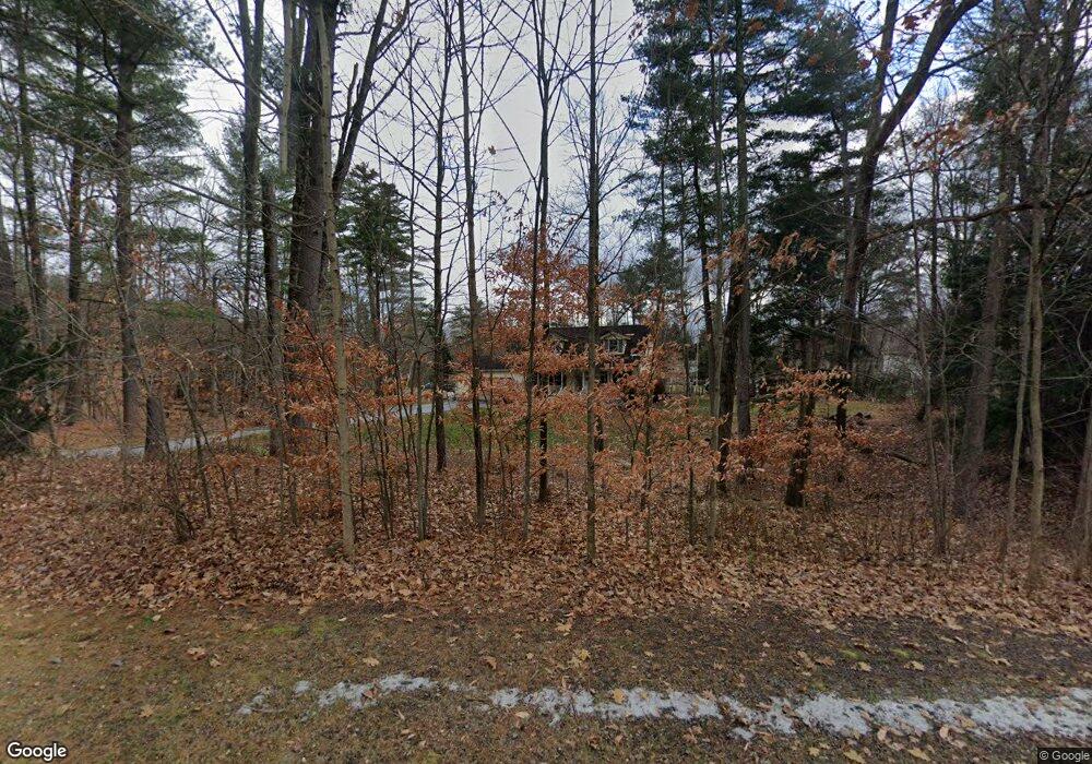
124 Poor Farm Rd Unit 10 Milton, VT 05468
Estimated Value: $484,000 - $535,000
3
Beds
2
Baths
1,656
Sq Ft
$312/Sq Ft
Est. Value
About This Home
This home is located at 124 Poor Farm Rd Unit 10, Milton, VT 05468 and is currently estimated at $516,659, approximately $311 per square foot. 124 Poor Farm Rd Unit 10 is a home located in Chittenden County with nearby schools including Milton Elementary School, Milton Middle School, and Milton Senior High School.
Ownership History
Date
Name
Owned For
Owner Type
Purchase Details
Closed on
Dec 9, 2024
Sold by
Seward Trevor and Molloy Kelly
Bought by
Foss Isaiah and Foss Jessica
Current Estimated Value
Purchase Details
Closed on
Mar 3, 2022
Sold by
Whittaker Scott
Bought by
Molloy Kelly and Seward Trevor
Purchase Details
Closed on
Nov 26, 2019
Sold by
Roby Bobbie Jo
Bought by
Whittaker Scott
Purchase Details
Closed on
Jul 1, 2016
Sold by
Richardson William D and Richardson Holly B
Bought by
Roby Bobbie Jo
Create a Home Valuation Report for This Property
The Home Valuation Report is an in-depth analysis detailing your home's value as well as a comparison with similar homes in the area
Home Values in the Area
Average Home Value in this Area
Purchase History
| Date | Buyer | Sale Price | Title Company |
|---|---|---|---|
| Foss Isaiah | $510,500 | -- | |
| Molloy Kelly | $405,000 | -- | |
| Molloy Kelly | $405,000 | -- | |
| Whittaker Scott | $315,000 | -- | |
| Whittaker Scott | $315,000 | -- | |
| Roby Bobbie Jo | $263,500 | -- | |
| Roby Bobbie Jo | $263,500 | -- |
Source: Public Records
Tax History Compared to Growth
Tax History
| Year | Tax Paid | Tax Assessment Tax Assessment Total Assessment is a certain percentage of the fair market value that is determined by local assessors to be the total taxable value of land and additions on the property. | Land | Improvement |
|---|---|---|---|---|
| 2024 | $7,375 | $378,400 | $113,500 | $264,900 |
| 2023 | $6,823 | $378,400 | $113,500 | $264,900 |
| 2022 | $6,336 | $378,400 | $113,500 | $264,900 |
| 2021 | $5,598 | $256,090 | $85,000 | $171,090 |
| 2020 | $5,412 | $256,090 | $85,000 | $171,090 |
| 2019 | $5,124 | $256,090 | $85,000 | $171,090 |
| 2018 | $5,051 | $252,720 | $85,560 | $167,160 |
| 2017 | $4,978 | $252,720 | $85,560 | $167,160 |
| 2016 | $4,852 | $252,720 | $85,560 | $167,160 |
Source: Public Records
Map
Nearby Homes
- 9 Highland Ave
- Lot 1 Poor Farm Rd
- 10 Kim Ln
- 10 Miller Ct
- 66 Rosewood Ln
- 9 Rosewood Ln
- 8 Rosewood Ln
- 45 Lake Rd
- 16L Dogwood Cir Unit 16L Kousa
- 106 Route 7 N
- Lot 2 Oakledge Ln
- Lot 1 Oakledge Ln
- 120 Route 7 N
- 23 James Dr
- 26 Shore Rd
- 123 Red Clover Way
- 7 River St Unit 6
- 7 River St Unit 5
- 7 River St Unit 4
- 7 River St Unit 3
- 6 Highland Ave
- 12 Highland Ave
- 24 Highland Ave
- 114 Poor Farm Rd
- 117 Poor Farm Rd
- 30 Highland Ave
- 21 Highland Ave
- 13 Highland Ave
- 15 Highland Ave
- 137 Poor Farm Rd
- 137 Poor Farm Rd
- 3 Highland Ave
- 23 Highland Ave
- 77 Sheldon Rd
- 72 Sheldon Rd
- 101 Poor Farm Rd
- 107 Highland Ave
- 12 Deer Run Dr
- 12 Deer Run
- 18 Deer Run Dr
