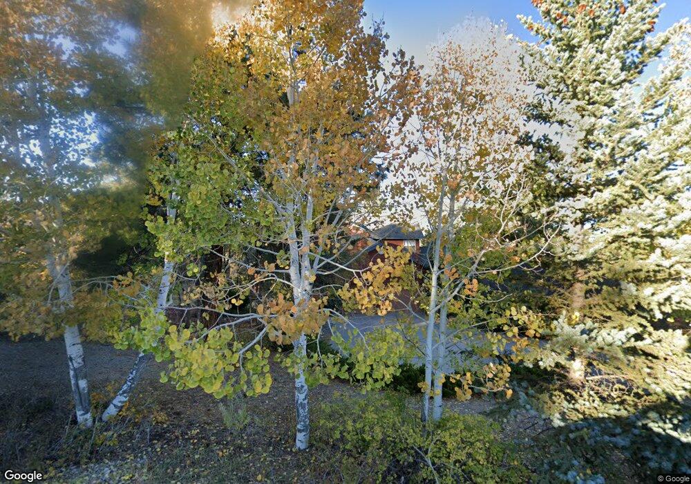
124 Porter Way Durango, CO 81303
Estimated Value: $1,047,634 - $1,218,000
3
Beds
3
Baths
2,930
Sq Ft
$382/Sq Ft
Est. Value
About This Home
This home is located at 124 Porter Way, Durango, CO 81303 and is currently estimated at $1,119,909, approximately $382 per square foot. 124 Porter Way is a home located in La Plata County with nearby schools including Fort Lewis Mesa Elementary School, Escalante Middle School, and Durango High School.
Ownership History
Date
Name
Owned For
Owner Type
Purchase Details
Closed on
Nov 6, 2018
Sold by
Salter Christie L Ilg
Bought by
Phillips Patti Jean and Hilfiker Kenneth Glenn
Current Estimated Value
Home Financials for this Owner
Home Financials are based on the most recent Mortgage that was taken out on this home.
Original Mortgage
$453,100
Outstanding Balance
$397,596
Interest Rate
4.7%
Mortgage Type
New Conventional
Estimated Equity
$722,313
Purchase Details
Closed on
Jun 30, 2004
Bought by
Ilg-Salter Christie L
Create a Home Valuation Report for This Property
The Home Valuation Report is an in-depth analysis detailing your home's value as well as a comparison with similar homes in the area
Purchase History
| Date | Buyer | Sale Price | Title Company |
|---|---|---|---|
| Phillips Patti Jean | $642,000 | Land Title Guarantee Co | |
| Ilg-Salter Christie L | -- | -- |
Source: Public Records
Mortgage History
| Date | Status | Borrower | Loan Amount |
|---|---|---|---|
| Open | Phillips Patti Jean | $453,100 |
Source: Public Records
Tax History
| Year | Tax Paid | Tax Assessment Tax Assessment Total Assessment is a certain percentage of the fair market value that is determined by local assessors to be the total taxable value of land and additions on the property. | Land | Improvement |
|---|---|---|---|---|
| 2025 | $2,671 | $65,640 | $17,990 | $47,650 |
| 2024 | $2,287 | $54,460 | $14,690 | $39,770 |
| 2023 | $2,287 | $57,690 | $15,560 | $42,130 |
| 2022 | $1,915 | $60,310 | $16,270 | $44,040 |
| 2021 | $1,925 | $46,410 | $10,710 | $35,700 |
| 2020 | $1,793 | $44,570 | $10,940 | $33,630 |
| 2019 | $1,553 | $40,270 | $10,940 | $29,330 |
| 2018 | $1,679 | $43,590 | $14,000 | $29,590 |
| 2017 | $1,644 | $43,590 | $14,000 | $29,590 |
| 2016 | $1,614 | $46,390 | $14,460 | $31,930 |
| 2015 | $1,519 | $46,390 | $14,460 | $31,930 |
| 2014 | -- | $42,480 | $14,210 | $28,270 |
| 2013 | -- | $42,480 | $14,210 | $28,270 |
Source: Public Records
Map
Nearby Homes
- 717 Zane Dr
- 51 Shenandoah Cir
- 2125 Cr 125
- 1963 County Road 125
- TBD Vaquero Way
- 152 Peak Trail Dr
- 1345 Heritage Rd
- 31 Valley View Way
- 678 N Lakeside Dr
- 178 Canyon Creek Trail
- 59 Holly Hock Trail
- 40 Hidden Ln
- 100 Westridge Rd
- 199 Timber Dr
- 154 Cedar Dr
- 31 Wood Haven Way
- 222 Pine Ridge Loop Unit A4
- Tbdwp County Road 141
- 49 Hunter Ct
- 38 Danielle Cir
- 0 Porter Way
- 174 Bell Cir
- 104 Bell Cir
- 66 Porter Way
- 130 Bell Cir
- 144 Bell Cir
- 121 Bell Cir
- 85 Porter Way
- 200 Bell Cir
- 251 Bell Cir
- 47 Porter Way
- 0 Bell Cir
- 248 Bell Cir
- 475 Zane Dr
- 0 Denby Ln Unit 650549
- 0 Denby Ln Unit 662515
- 0 Denby Ln Unit 665977
- 0 Denby Ln Unit 679092
- 0 Denby Ln Unit 702593
- 61 Shenandoah Cir
Your Personal Tour Guide
Ask me questions while you tour the home.