124 River Point Dr Unit A Yorktown, VA 23693
Tabb NeighborhoodEstimated Value: $663,000 - $822,000
4
Beds
3
Baths
3,187
Sq Ft
$239/Sq Ft
Est. Value
About This Home
This home is located at 124 River Point Dr Unit A, Yorktown, VA 23693 and is currently estimated at $762,709, approximately $239 per square foot. 124 River Point Dr Unit A is a home located in York County with nearby schools including Mt. Vernon Elementary School, Tabb Middle School, and Tabb High School.
Ownership History
Date
Name
Owned For
Owner Type
Purchase Details
Closed on
Mar 11, 2022
Sold by
Dela Fuente Rene M and Ling Deborah
Bought by
De La Fuente Chen Living Trust
Current Estimated Value
Purchase Details
Closed on
Apr 2, 2020
Sold by
Lewis James E
Bought by
Delafuente Rene Miguel and Chen Deborah Ling
Home Financials for this Owner
Home Financials are based on the most recent Mortgage that was taken out on this home.
Original Mortgage
$726,330
Interest Rate
3.4%
Mortgage Type
VA
Create a Home Valuation Report for This Property
The Home Valuation Report is an in-depth analysis detailing your home's value as well as a comparison with similar homes in the area
Home Values in the Area
Average Home Value in this Area
Purchase History
| Date | Buyer | Sale Price | Title Company |
|---|---|---|---|
| De La Fuente Chen Living Trust | -- | Zaremba Walter C | |
| Delafuente Rene Miguel | $710,000 | Lytle Title & Escrow Llc |
Source: Public Records
Mortgage History
| Date | Status | Borrower | Loan Amount |
|---|---|---|---|
| Previous Owner | Delafuente Rene Miguel | $726,330 |
Source: Public Records
Tax History
| Year | Tax Paid | Tax Assessment Tax Assessment Total Assessment is a certain percentage of the fair market value that is determined by local assessors to be the total taxable value of land and additions on the property. | Land | Improvement |
|---|---|---|---|---|
| 2025 | $5,393 | $728,800 | $409,000 | $319,800 |
| 2024 | $5,393 | $728,800 | $409,000 | $319,800 |
| 2023 | $5,580 | $724,700 | $409,000 | $315,700 |
| 2022 | $5,653 | $724,700 | $409,000 | $315,700 |
| 2021 | $6,246 | $785,700 | $491,400 | $294,300 |
| 2020 | $3,000 | $785,700 | $491,400 | $294,300 |
| 2019 | $9,312 | $816,800 | $527,000 | $289,800 |
| 2018 | $9,312 | $816,800 | $527,000 | $289,800 |
| 2017 | $6,305 | $839,000 | $552,000 | $287,000 |
| 2016 | -- | $839,000 | $552,000 | $287,000 |
| 2015 | -- | $839,000 | $552,000 | $287,000 |
| 2014 | -- | $839,000 | $552,000 | $287,000 |
Source: Public Records
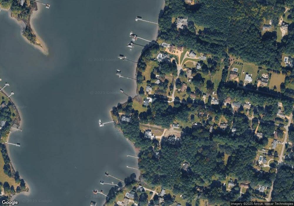
Map
Nearby Homes
- 121 River Point Dr
- 107 Pickett Place
- 107 Cherry Point Dr
- 1809 Calthrop Neck Rd
- 529 Piney Point Rd
- 105 Ocean Breeze Dr
- 132 Breezy Point Dr
- 103 Brenda Ct
- 201 Chinquapin Orchard
- 1907 Yorktown Rd
- 400 Octavia Dr
- 405 Octavia Dr
- 15 Carriage Hill Dr
- 101 Goffigans Trace
- 107 William Storrs Rd
- 203 William Storrs Rd
- 420 Yorkville Rd
- 706 Yorktown Rd
- 213 Orion Ct
- 405 Heavens Way
- 124 River Point Dr
- 124-A River Point Dr
- 124 River Point Dr
- 407 Melinda Ln
- 126 River Point Dr
- 128 River Point Dr
- 405 Melinda Ln
- 401 Melinda Ln
- 130 River Point Dr
- 224 Melinda Ln
- 125 River Point Dr
- 132 River Point Dr
- 129 River Point Dr
- 120 River Point Dr
- 303 Melinda Ln
- 216 Melinda Ln
- 134 River Point Dr
- 215 Melinda Ln
- 217 Melinda Ln
- 136 River Point Dr
Your Personal Tour Guide
Ask me questions while you tour the home.