124 S Deming Rd Cornish, NH 03745
Estimated Value: $624,000 - $770,976
3
Beds
3
Baths
2,502
Sq Ft
$289/Sq Ft
Est. Value
About This Home
This home is located at 124 S Deming Rd, Cornish, NH 03745 and is currently estimated at $723,244, approximately $289 per square foot. 124 S Deming Rd is a home located in Sullivan County with nearby schools including Cornish Elementary School and Foundations Upper Valley.
Ownership History
Date
Name
Owned For
Owner Type
Purchase Details
Closed on
Jul 28, 2017
Sold by
Donald R Kantor Ret and Kantor Donald R
Bought by
Ackerson Scott A and Ackerson Thea S
Current Estimated Value
Home Financials for this Owner
Home Financials are based on the most recent Mortgage that was taken out on this home.
Original Mortgage
$288,000
Outstanding Balance
$153,762
Interest Rate
3.91%
Mortgage Type
Commercial
Estimated Equity
$569,482
Create a Home Valuation Report for This Property
The Home Valuation Report is an in-depth analysis detailing your home's value as well as a comparison with similar homes in the area
Home Values in the Area
Average Home Value in this Area
Purchase History
| Date | Buyer | Sale Price | Title Company |
|---|---|---|---|
| Ackerson Scott A | $360,000 | -- |
Source: Public Records
Mortgage History
| Date | Status | Borrower | Loan Amount |
|---|---|---|---|
| Open | Ackerson Scott A | $288,000 |
Source: Public Records
Tax History Compared to Growth
Tax History
| Year | Tax Paid | Tax Assessment Tax Assessment Total Assessment is a certain percentage of the fair market value that is determined by local assessors to be the total taxable value of land and additions on the property. | Land | Improvement |
|---|---|---|---|---|
| 2024 | $11,426 | $705,745 | $125,845 | $579,900 |
| 2023 | $10,075 | $384,087 | $85,787 | $298,300 |
| 2022 | $8,620 | $364,180 | $86,180 | $278,000 |
| 2021 | $8,279 | $364,569 | $86,569 | $278,000 |
| 2020 | $7,762 | $364,566 | $86,566 | $278,000 |
| 2019 | $7,118 | $364,645 | $86,645 | $278,000 |
| 2018 | $7,235 | $329,014 | $86,214 | $242,800 |
| 2017 | $7,080 | $329,017 | $86,217 | $242,800 |
| 2016 | $7,042 | $329,055 | $86,255 | $242,800 |
| 2015 | $7,566 | $329,097 | $86,297 | $242,800 |
| 2014 | $7,476 | $329,045 | $90,945 | $238,100 |
| 2013 | $7,461 | $355,811 | $90,111 | $265,700 |
Source: Public Records
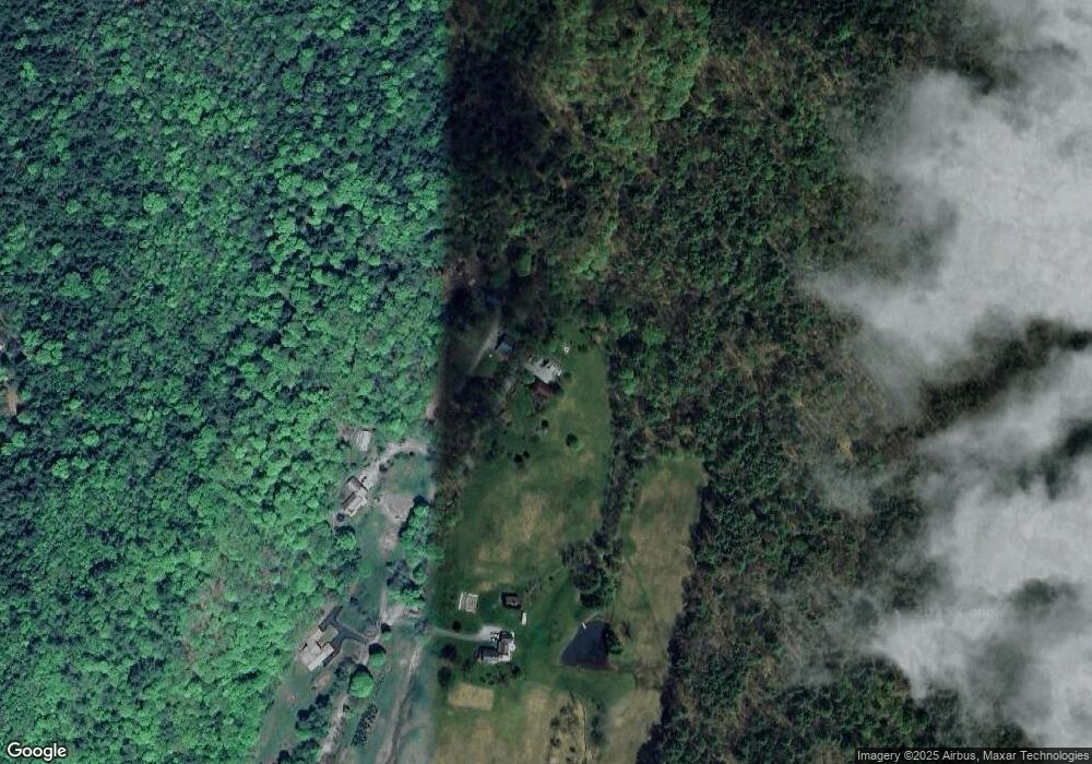
Map
Nearby Homes
- 466 Parsonage Rd
- 00 Tandy Brook Rd Unit 12
- 672 New Hampshire 120
- 0 Route 120 Route Unit 48
- 68 Jarvis St Unit 70
- 161 Saint Gaudens Rd
- Lot 73A & 74A East Rd
- 70-74 State St
- 5 Clough Ave
- 58 Morningside Dr
- 1 Dorrance St
- 16 Day St
- 44 Route 44
- 614 Redwater Brook Rd
- 45 East Rd
- 282 Penniman Rd
- 1507 Route 12a
- 16 Nh Route 12a
- 96 Dairy Ln
- 11 Cubb Ct
- 124 S Deming Rd
- 125 S Deming Rd
- 95 S Deming Rd
- 126 S Deming Rd
- 94 S Deming Rd
- 91 S Deming Rd
- 763 Center Rd
- 000 S Deming Rd Unit Portion of Lot 4
- 0 S Deming Rd
- 817 Center Rd
- 779 Center Rd
- TBD S Demming
- 802 Center Rd
- 476 Town House Rd
- 36 Wayside Ln
- 747 Center Rd
- 42 S Deming Rd
- 19 Meadow Valley Dr
- 25 Meadow Valley Dr
- 739 Center Rd