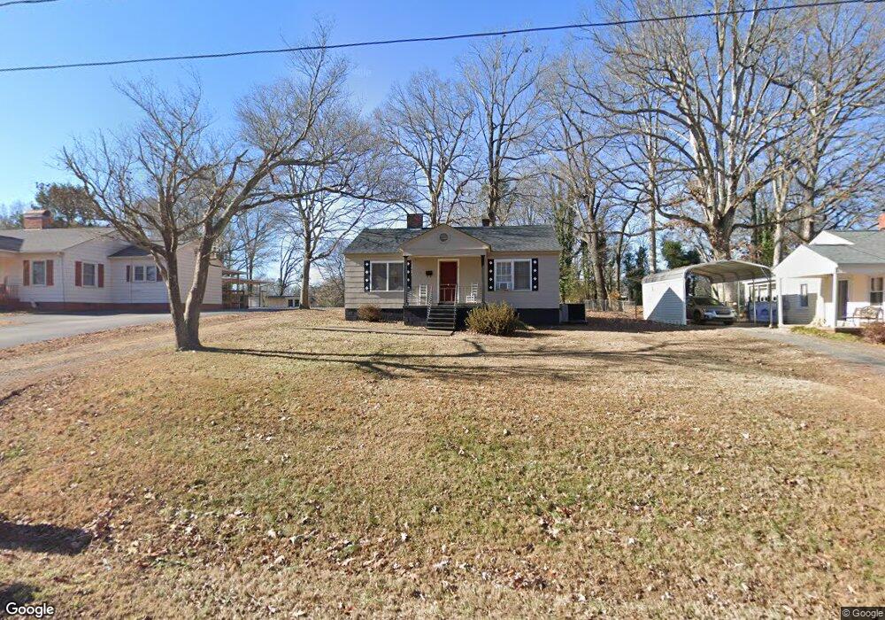
124 S Pine St Lowell, NC 28098
Estimated Value: $150,000 - $210,000
2
Beds
1
Bath
840
Sq Ft
$217/Sq Ft
Est. Value
About This Home
This home is located at 124 S Pine St, Lowell, NC 28098 and is currently estimated at $182,586, approximately $217 per square foot. 124 S Pine St is a home located in Gaston County with nearby schools including Lowell Elementary School, Holbrook Middle School, and Ashbrook High School.
Ownership History
Date
Name
Owned For
Owner Type
Purchase Details
Closed on
Jul 11, 2019
Sold by
Audaz Llc
Bought by
124 S Pine St Trust
Current Estimated Value
Home Financials for this Owner
Home Financials are based on the most recent Mortgage that was taken out on this home.
Original Mortgage
$480,656
Interest Rate
3.7%
Mortgage Type
Commercial
Purchase Details
Closed on
Sep 20, 2018
Sold by
Bolin Jean M and Bolin Bobby Dean
Bought by
Audaz Llc
Purchase Details
Closed on
Jul 23, 1948
Bought by
Mcdonald Bessie M
Create a Home Valuation Report for This Property
The Home Valuation Report is an in-depth analysis detailing your home's value as well as a comparison with similar homes in the area
Home Values in the Area
Average Home Value in this Area
Purchase History
| Date | Buyer | Sale Price | Title Company |
|---|---|---|---|
| 124 S Pine St Trust | -- | None Available | |
| Audaz Llc | $30,000 | None Available | |
| Mcdonald Bessie M | -- | -- |
Source: Public Records
Mortgage History
| Date | Status | Borrower | Loan Amount |
|---|---|---|---|
| Previous Owner | 124 S Pine St Trust | $480,656 |
Source: Public Records
Tax History
| Year | Tax Paid | Tax Assessment Tax Assessment Total Assessment is a certain percentage of the fair market value that is determined by local assessors to be the total taxable value of land and additions on the property. | Land | Improvement |
|---|---|---|---|---|
| 2025 | $1,434 | $134,100 | $25,000 | $109,100 |
| 2024 | $1,434 | $134,100 | $25,000 | $109,100 |
| 2023 | $1,589 | $134,100 | $25,000 | $109,100 |
| 2022 | $610 | $43,250 | $17,000 | $26,250 |
| 2021 | $571 | $43,250 | $17,000 | $26,250 |
| 2019 | $549 | $43,250 | $17,000 | $26,250 |
| 2018 | $840 | $64,618 | $15,600 | $49,018 |
| 2017 | $840 | $64,618 | $15,600 | $49,018 |
| 2016 | $840 | $64,618 | $0 | $0 |
| 2014 | $783 | $60,239 | $21,000 | $39,239 |
Source: Public Records
Map
Nearby Homes
- 308 Rankin Ave
- 503 Caroline Ave
- 704 McAdenville Rd
- 7 Stowe St
- 1033 Marguerite Dr
- 211 Seigle St Unit 37-38
- 00 W 1st St
- 356 Main St
- 546 River View Dr
- 116 Kenworthy Ave
- 1402 Richmond Dr Unit 1
- 500 Gann St Unit 51-56
- 5128 Meadow Woods Dr
- 1009 Preston Dr
- 1102 Catawba Run Rd
- 8009 Camden Crossing
- 8004 Camden Crossing
- 188 Main St
- 623 Turner Rd
- 602 Green Chapman Rd
Your Personal Tour Guide
Ask me questions while you tour the home.