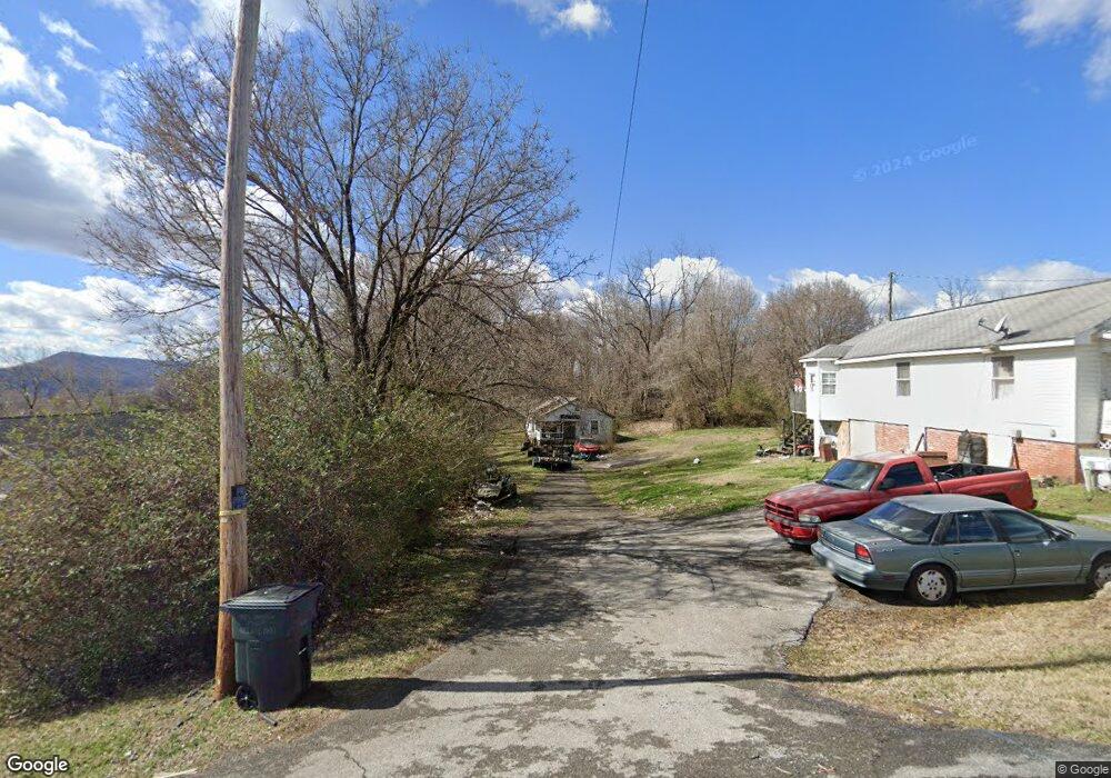
124 Thomas St Unit 128 Kingsport, TN 37660
Bloomingdale NeighborhoodEstimated Value: $134,116 - $243,000
--
Bed
2
Baths
1,120
Sq Ft
$161/Sq Ft
Est. Value
About This Home
This home is located at 124 Thomas St Unit 128, Kingsport, TN 37660 and is currently estimated at $179,779, approximately $160 per square foot. 124 Thomas St Unit 128 is a home located in Sullivan County with nearby schools including Ketron Elementary School, Sullivan South High School, and St. Paul's Day School & Kindergarten.
Ownership History
Date
Name
Owned For
Owner Type
Purchase Details
Closed on
Jan 14, 2004
Sold by
Knapp Richard A and Knapp Edith
Bought by
Cagle Michael R
Current Estimated Value
Home Financials for this Owner
Home Financials are based on the most recent Mortgage that was taken out on this home.
Original Mortgage
$28,000
Outstanding Balance
$13,013
Interest Rate
5.81%
Estimated Equity
$166,766
Purchase Details
Closed on
Aug 28, 1997
Sold by
Forbes Harvey S
Bought by
Richard Knapp
Home Financials for this Owner
Home Financials are based on the most recent Mortgage that was taken out on this home.
Original Mortgage
$30,000
Interest Rate
7.39%
Create a Home Valuation Report for This Property
The Home Valuation Report is an in-depth analysis detailing your home's value as well as a comparison with similar homes in the area
Home Values in the Area
Average Home Value in this Area
Purchase History
| Date | Buyer | Sale Price | Title Company |
|---|---|---|---|
| Cagle Michael R | $35,000 | -- | |
| Richard Knapp | $30,000 | -- |
Source: Public Records
Mortgage History
| Date | Status | Borrower | Loan Amount |
|---|---|---|---|
| Open | Richard Knapp | $28,000 | |
| Previous Owner | Richard Knapp | $30,000 |
Source: Public Records
Tax History Compared to Growth
Tax History
| Year | Tax Paid | Tax Assessment Tax Assessment Total Assessment is a certain percentage of the fair market value that is determined by local assessors to be the total taxable value of land and additions on the property. | Land | Improvement |
|---|---|---|---|---|
| 2024 | $599 | $24,000 | $3,925 | $20,075 |
| 2023 | $577 | $24,000 | $3,925 | $20,075 |
| 2022 | $577 | $24,000 | $3,925 | $20,075 |
| 2021 | $577 | $24,000 | $3,925 | $20,075 |
| 2020 | $585 | $24,000 | $3,925 | $20,075 |
| 2019 | $585 | $22,775 | $3,925 | $18,850 |
| 2018 | $581 | $22,775 | $3,925 | $18,850 |
| 2017 | $581 | $22,775 | $3,925 | $18,850 |
| 2016 | $422 | $16,400 | $3,925 | $12,475 |
| 2014 | $378 | $16,404 | $0 | $0 |
Source: Public Records
Map
Nearby Homes
- 1167 Bloomingdale Pike
- 1165 Bloomingdale Pike
- 1117 Delrose Dr
- 1341 Mcgregor Dr
- 177 Shipp Springs Rd
- 153 Rosefield Dr
- 421 Northcott Dr
- 224 Stone Edge Cir
- 612 Kincaid St
- 256 Shipp Springs Rd
- 724 Dinsmore St
- 412 Rich Dr
- 725 Dinsmore St
- 659 Gravely Rd
- 937 Cornerstone Ct
- 104 Woodmont Ave
- 413 Anngea Ln
- 1324 White St
- 1014 Gibson Mill Rd
- 1010 Gibson Mill Rd
- 200 Thomas St
- 120 Thomas St
- 204 Thomas St
- 110 Thomas St
- 208 Thomas St
- 129 Thomas St
- 113 Thomas St
- 109 Thomas St
- 205 Thomas St
- 301 Dehaven Place
- 220 Thomas St
- 216 Thomas St
- 1208 Wayne St
- 209 Thomas St
- 300 Dehaven Place
- 1208 Bloomingdale Pike
- 224 Thomas St
- 1212 Wayne St
- 263 Dehaven Place
- 1148 Bloomingdale Pike