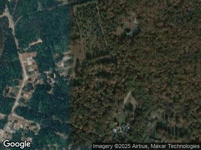
124 Wally Dr Richland, NJ 08350
Richland NeighborhoodEstimated Value: $339,000 - $487,000
--
Bed
--
Bath
576
Sq Ft
$723/Sq Ft
Est. Value
About This Home
This home is located at 124 Wally Dr, Richland, NJ 08350 and is currently estimated at $416,665, approximately $723 per square foot. 124 Wally Dr is a home with nearby schools including Buena Regional Middle School, Buena Regional High School, and St. Mary School.
Ownership History
Date
Name
Owned For
Owner Type
Purchase Details
Closed on
Oct 14, 2004
Sold by
Williams Everett
Bought by
Burroughs Margarette
Current Estimated Value
Purchase Details
Closed on
Aug 19, 1993
Sold by
Williams Iii Everett D and Williams Brenda J
Bought by
Williams Everett D and Williams Brenda J
Purchase Details
Closed on
Jan 22, 1991
Sold by
Walters David and Walters Violet
Bought by
Williams Everett D and Williams Brenda
Create a Home Valuation Report for This Property
The Home Valuation Report is an in-depth analysis detailing your home's value as well as a comparison with similar homes in the area
Home Values in the Area
Average Home Value in this Area
Purchase History
| Date | Buyer | Sale Price | Title Company |
|---|---|---|---|
| Burroughs Margarette | $282,000 | -- | |
| Burroughs Margarette | $282,000 | -- | |
| Burroughs Margarette | $282,000 | -- | |
| Williams Everett D | -- | -- | |
| Williams Everett D | -- | -- |
Source: Public Records
Mortgage History
| Date | Status | Borrower | Loan Amount |
|---|---|---|---|
| Open | Burroughs Margarette | $20,202 | |
| Open | Burroughs Margarette | $288,000 | |
| Closed | Burroughs Margarette | $240,000 | |
| Previous Owner | Williams Everett Daniel | $140,250 |
Source: Public Records
Tax History Compared to Growth
Tax History
| Year | Tax Paid | Tax Assessment Tax Assessment Total Assessment is a certain percentage of the fair market value that is determined by local assessors to be the total taxable value of land and additions on the property. | Land | Improvement |
|---|---|---|---|---|
| 2024 | $8,613 | $283,600 | $94,600 | $189,000 |
| 2023 | $8,284 | $283,600 | $94,600 | $189,000 |
| 2022 | $8,284 | $283,600 | $94,600 | $189,000 |
| 2021 | $8,074 | $283,600 | $94,600 | $189,000 |
| 2020 | $7,813 | $283,600 | $94,600 | $189,000 |
| 2019 | $7,507 | $283,600 | $94,600 | $189,000 |
| 2018 | $7,439 | $283,600 | $94,600 | $189,000 |
| 2017 | $7,371 | $283,600 | $94,600 | $189,000 |
| 2016 | $7,025 | $283,600 | $94,600 | $189,000 |
| 2015 | $6,874 | $283,600 | $94,600 | $189,000 |
| 2014 | $6,843 | $283,600 | $94,600 | $189,000 |
Source: Public Records
Map
Nearby Homes
- 968 Main Ave
- 127 Fir Ave
- 0 San Francisco Ave
- 0 Division Ave
- 6989 Harding Hwy
- 102 Dogwood Ln
- 0 Railroad Blvd
- 0 St Petersburg Ave Unit NJAC2011840
- 0 St Petersburg Ave Unit NJAC2011842
- 6466 Jefferson Ave
- 1318 Mount Vernon Ave
- 1318 Mt Vernon Ave
- 6448 Dehirsch Ave
- 0 0 Strand Ave
- 5485 Landis Ave
- 432 Pancoast Mill Rd
- 1359 Memphis Ave
- buttonwood Buttonwood Terrace
- 6 Emilie Ct
- rail road blvd Railroad Blvd
