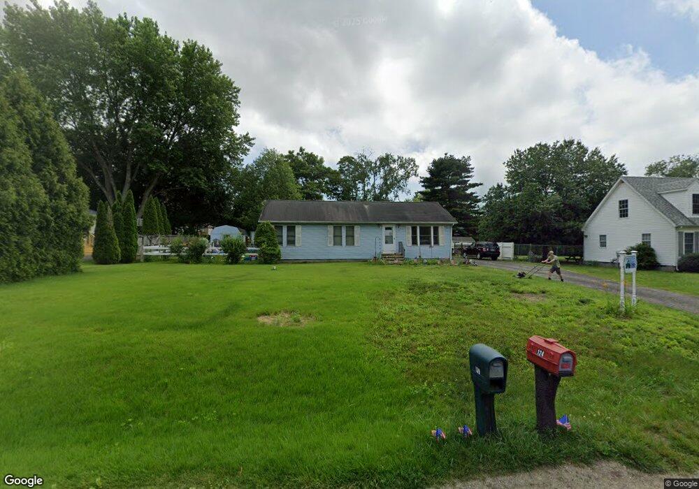
124 Woodstock Rd Chestertown, MD 21620
Kingstown NeighborhoodEstimated Value: $258,000 - $288,000
--
Bed
1
Bath
1,152
Sq Ft
$241/Sq Ft
Est. Value
About This Home
This home is located at 124 Woodstock Rd, Chestertown, MD 21620 and is currently estimated at $277,571, approximately $240 per square foot. 124 Woodstock Rd is a home located in Queen Anne's County with nearby schools including Church Hill Elementary School, Sudlersville Middle School, and Queen Anne's County High School.
Ownership History
Date
Name
Owned For
Owner Type
Purchase Details
Closed on
Oct 5, 2005
Sold by
Lloyd Thomas B and Lloyd Betty L
Bought by
Hall Brett
Current Estimated Value
Home Financials for this Owner
Home Financials are based on the most recent Mortgage that was taken out on this home.
Original Mortgage
$148,500
Outstanding Balance
$79,584
Interest Rate
5.78%
Mortgage Type
Purchase Money Mortgage
Estimated Equity
$197,987
Create a Home Valuation Report for This Property
The Home Valuation Report is an in-depth analysis detailing your home's value as well as a comparison with similar homes in the area
Home Values in the Area
Average Home Value in this Area
Purchase History
| Date | Buyer | Sale Price | Title Company |
|---|---|---|---|
| Hall Brett | $165,000 | -- |
Source: Public Records
Mortgage History
| Date | Status | Borrower | Loan Amount |
|---|---|---|---|
| Open | Hall Brett | $148,500 |
Source: Public Records
Tax History Compared to Growth
Tax History
| Year | Tax Paid | Tax Assessment Tax Assessment Total Assessment is a certain percentage of the fair market value that is determined by local assessors to be the total taxable value of land and additions on the property. | Land | Improvement |
|---|---|---|---|---|
| 2025 | $1,776 | $182,200 | $76,000 | $106,200 |
| 2024 | $1,629 | $166,600 | $0 | $0 |
| 2023 | $1,482 | $151,000 | $0 | $0 |
| 2022 | $1,335 | $135,400 | $56,000 | $79,400 |
| 2021 | $1,303 | $132,500 | $0 | $0 |
| 2020 | $1,303 | $129,600 | $0 | $0 |
| 2019 | $1,275 | $126,700 | $56,000 | $70,700 |
| 2018 | $1,275 | $126,700 | $56,000 | $70,700 |
| 2017 | $1,275 | $126,700 | $0 | $0 |
| 2016 | -- | $127,800 | $0 | $0 |
| 2015 | $1,372 | $127,800 | $0 | $0 |
| 2014 | $1,372 | $127,800 | $0 | $0 |
Source: Public Records
Map
Nearby Homes
- 213 Central Dr
- 222 Dutchess Rd
- 109 Wilton Rd
- 492 Pear Tree Point Rd
- 26933 Mallard Rd
- 0 East St
- 101 Birch Run Rd
- 303 E Campus Ave
- 204 Rolling Rd
- 105 High St
- 411 Greenwood Ave
- 206 Valley Rd
- 228 S Water St
- 206 S Water St
- 200 Washington Ave
- 206 Cannon St
- 0 Elm St Unit MDKE2003590
- 349 & 351 High St
- 349 High St
- 222 Mount Vernon Ave
- 120 Woodstock Rd
- 128 Woodstock Rd
- 309 Oriole Rd
- 401 Oriole Rd
- 305 Oriole Rd
- 116 Woodstock Rd
- 132 Woodstock Rd
- 139 Woodstock Rd
- 143 Woodstock Rd
- 135 Woodstock Rd
- 301 Oriole Rd
- 405 Oriole Rd
- 147 Woodstock Rd
- 131 Woodstock Rd
- 112 Woodstock Rd
- 308 Oriole Rd
- 311 Central Dr
- 209 Oriole Rd
- 307 Central Dr
- 328 Longfellow Dr