Estimated Value: $150,000 - $162,000
3
Beds
1
Bath
864
Sq Ft
$178/Sq Ft
Est. Value
About This Home
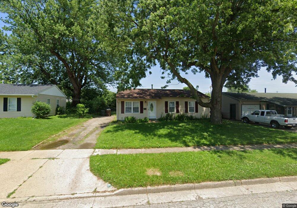
This home is located at 1240 Berwald Dr, Xenia, OH 45385 and is currently estimated at $154,097, approximately $178 per square foot. 1240 Berwald Dr is a home located in Greene County with nearby schools including Xenia High School, Summit Academy Community School for Alternative Learners - Xenia, and Legacy Christian Academy.
Ownership History
Date
Name
Owned For
Owner Type
Purchase Details
Closed on
Jun 9, 2023
Sold by
Hennessy Patrick Joseph
Bought by
Whph Llc
Current Estimated Value
Purchase Details
Closed on
Apr 30, 2021
Sold by
Alco Properties Llc
Bought by
Hennessy Patrick Joseph
Home Financials for this Owner
Home Financials are based on the most recent Mortgage that was taken out on this home.
Original Mortgage
$78,750
Interest Rate
2.9%
Mortgage Type
New Conventional
Purchase Details
Closed on
Jun 19, 2019
Sold by
Berry Roger Lynn and Berry Helen Anita
Bought by
Alco Properties Llc
Purchase Details
Closed on
Jan 29, 2015
Sold by
Berry Roger Lynn and Berry Helen Anita
Bought by
Berry Roger Lynn and Berry Helen Anita
Create a Home Valuation Report for This Property
The Home Valuation Report is an in-depth analysis detailing your home's value as well as a comparison with similar homes in the area
Home Values in the Area
Average Home Value in this Area
Purchase History
| Date | Buyer | Sale Price | Title Company |
|---|---|---|---|
| Whph Llc | -- | None Listed On Document | |
| Hennessy Patrick Joseph | $105,000 | Vantage Land Title | |
| Alco Properties Llc | $57,000 | First Ohio Title Insurance | |
| Berry Roger Lynn | -- | None Available |
Source: Public Records
Mortgage History
| Date | Status | Borrower | Loan Amount |
|---|---|---|---|
| Previous Owner | Hennessy Patrick Joseph | $78,750 |
Source: Public Records
Tax History Compared to Growth
Tax History
| Year | Tax Paid | Tax Assessment Tax Assessment Total Assessment is a certain percentage of the fair market value that is determined by local assessors to be the total taxable value of land and additions on the property. | Land | Improvement |
|---|---|---|---|---|
| 2024 | $1,553 | $36,290 | $9,170 | $27,120 |
| 2023 | $1,553 | $36,290 | $9,170 | $27,120 |
| 2022 | $1,269 | $25,290 | $6,550 | $18,740 |
| 2021 | $1,136 | $22,340 | $6,550 | $15,790 |
| 2020 | $1,088 | $22,340 | $6,550 | $15,790 |
| 2019 | $1,025 | $19,810 | $4,550 | $15,260 |
| 2018 | $1,218 | $19,810 | $4,550 | $15,260 |
| 2017 | $493 | $19,810 | $4,550 | $15,260 |
| 2016 | $989 | $18,680 | $4,550 | $14,130 |
| 2015 | $992 | $18,680 | $4,550 | $14,130 |
| 2014 | $950 | $18,680 | $4,550 | $14,130 |
Source: Public Records
Map
Nearby Homes
- 1351 Omard Dr
- 343 Sheelin Rd
- 912 Omard Dr
- 883 Omard Dr
- 509 Antrim Rd
- 1391 June Dr
- 1283 June Dr
- 1233 June Dr
- 1223 June Dr
- 1342 Kylemore Dr
- 121 S Progress Dr
- Harmony Plan at Grandstone Trace
- Newcastle Plan at Grandstone Trace
- Pendleton Plan at Grandstone Trace
- Bellamy Plan at Grandstone Trace
- Chatham Plan at Grandstone Trace
- 613 N West St
- 523 Hollywood Blvd
- 532 Hollywood Blvd
- 517 Hollywood Blvd
- 1226 Berwald Dr
- 1252 Berwald Dr
- 1279 Bingham Dr
- 1265 Bingham Dr
- 1264 Berwald Dr
- 1214 Berwald Dr
- 1293 Bingham Dr
- 1243 Berwald Dr
- 1255 Bingham Dr
- 1229 Berwald Dr
- 1255 Berwald Dr
- 1276 Berwald Dr
- 1305 Bingham Dr
- 1202 Berwald Dr
- 1217 Berwald Dr
- 1267 Berwald Dr
- 1247 Bingham Dr
- 1203 Berwald Dr
- 1279 Berwald Dr
- 1290 Berwald Dr