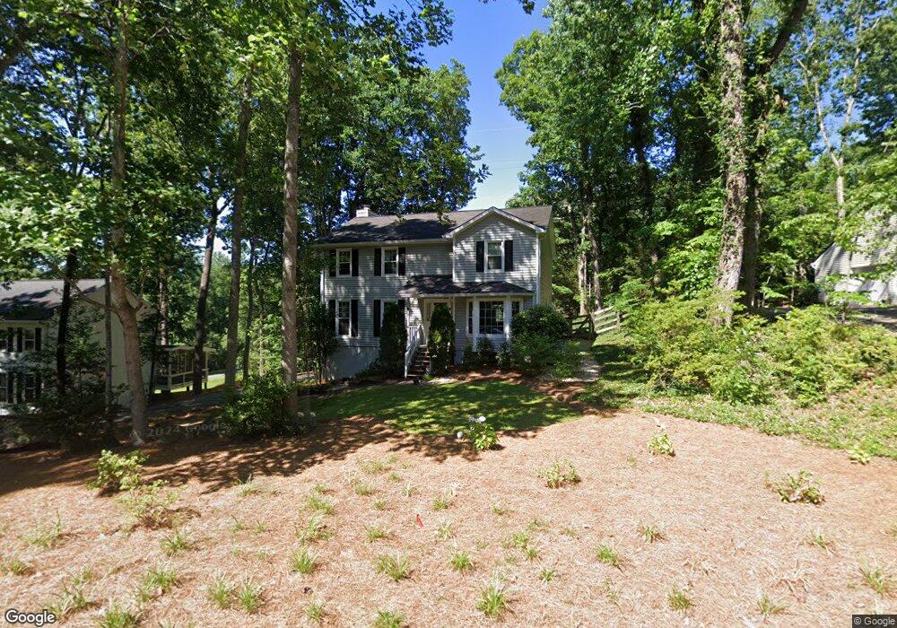
1240 Colony Cir Unit 2 Marietta, GA 30068
East Cobb NeighborhoodEstimated Value: $494,000 - $628,000
4
Beds
3
Baths
2,220
Sq Ft
$255/Sq Ft
Est. Value
About This Home
This home is located at 1240 Colony Cir Unit 2, Marietta, GA 30068 and is currently estimated at $565,255, approximately $254 per square foot. 1240 Colony Cir Unit 2 is a home located in Cobb County with nearby schools including Mount Bethel Elementary School, Dickerson Middle School, and Walton High School.
Ownership History
Date
Name
Owned For
Owner Type
Purchase Details
Closed on
Mar 15, 2024
Sold by
Michael Martin H and Michael Katja L
Bought by
Katja And Martin Michael Living Trust and Michael
Current Estimated Value
Purchase Details
Closed on
Jul 30, 1999
Sold by
Dodgen Clifford D
Bought by
Michael Martin H and Michael Katja L
Home Financials for this Owner
Home Financials are based on the most recent Mortgage that was taken out on this home.
Original Mortgage
$168,610
Interest Rate
7.58%
Mortgage Type
FHA
Purchase Details
Closed on
Dec 15, 1993
Sold by
Kuykendall James B Diannah
Bought by
Dodgen Clifford D
Home Financials for this Owner
Home Financials are based on the most recent Mortgage that was taken out on this home.
Original Mortgage
$112,100
Interest Rate
7.25%
Create a Home Valuation Report for This Property
The Home Valuation Report is an in-depth analysis detailing your home's value as well as a comparison with similar homes in the area
Home Values in the Area
Average Home Value in this Area
Purchase History
| Date | Buyer | Sale Price | Title Company |
|---|---|---|---|
| Katja And Martin Michael Living Trust | -- | None Listed On Document | |
| Michael Martin H | $174,900 | -- | |
| Dodgen Clifford D | $118,000 | -- |
Source: Public Records
Mortgage History
| Date | Status | Borrower | Loan Amount |
|---|---|---|---|
| Previous Owner | Michael Martin H | $168,610 | |
| Previous Owner | Dodgen Clifford D | $112,100 |
Source: Public Records
Tax History Compared to Growth
Tax History
| Year | Tax Paid | Tax Assessment Tax Assessment Total Assessment is a certain percentage of the fair market value that is determined by local assessors to be the total taxable value of land and additions on the property. | Land | Improvement |
|---|---|---|---|---|
| 2025 | $1,068 | $201,648 | $48,000 | $153,648 |
| 2024 | $4,630 | $200,480 | $38,400 | $162,080 |
| 2023 | $3,269 | $162,760 | $38,400 | $124,360 |
| 2022 | $3,637 | $153,380 | $30,400 | $122,980 |
| 2021 | $3,637 | $153,380 | $30,400 | $122,980 |
| 2020 | $2,741 | $112,420 | $25,600 | $86,820 |
| 2019 | $2,741 | $112,420 | $25,600 | $86,820 |
| 2018 | $2,741 | $112,420 | $25,600 | $86,820 |
| 2017 | $2,658 | $112,420 | $25,600 | $86,820 |
| 2016 | $2,477 | $103,996 | $25,600 | $78,396 |
| 2015 | $2,384 | $97,504 | $25,600 | $71,904 |
| 2014 | $2,399 | $97,504 | $0 | $0 |
Source: Public Records
Map
Nearby Homes
- 5197 Forest Brook Pkwy
- 5000 Lakeland Dr
- 5157 Forest Brook Pkwy
- 1420 Lafayette Ln
- 5184 Deering Trail Unit 2
- 1382 Huntingford Dr Unit 2
- 1044 Little Willeo Rd Unit 1
- 748 Olde Towne Ln
- 742 Olde Towne Ln
- 931 New Bedford Dr
- 748 Noble Oak Dr
- 1129 Topaz Way
- 5122 Sapphire Dr
- 5473 Heyward Square Place
- 1525 Huntingford Dr
- 5290 Lower Roswell Rd
- 4871 Karls Gate Dr
- 1230 Colony Cir
- 1242 Colony Dr
- 1242 Colony Dr Unit 2
- 1220 Colony Cir
- 1234 Colony Terrace Unit 2
- 0 Colony Dr Unit 7491165
- 0 Colony Dr Unit 7486985
- 0 Colony Dr Unit 8339584
- 0 Colony Dr Unit 7561499
- 0 Colony Dr Unit 8543039
- 0 Colony Dr Unit 8374229
- 0 Colony Dr Unit 8229066
- 1249 Colony Cir
- 1244 Colony Terrace
- 1239 Colony Cir Unit 3
- 1239 Colony Cir
- 1232 Colony Dr
- 0 Colony Cir Unit 8376895
- 1210 Colony Cir Unit 2
- 1254 Colony Terrace Unit 2