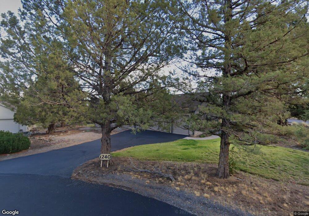
1240 Mourning Dove Ct Redmond, OR 97756
Estimated Value: $706,000 - $753,000
3
Beds
3
Baths
1,840
Sq Ft
$398/Sq Ft
Est. Value
About This Home
This home is located at 1240 Mourning Dove Ct, Redmond, OR 97756 and is currently estimated at $731,477, approximately $397 per square foot. 1240 Mourning Dove Ct is a home located in Deschutes County with nearby schools including Tumalo Community School, Obsidian Middle School, and Ridgeview High School.
Ownership History
Date
Name
Owned For
Owner Type
Purchase Details
Closed on
Jul 24, 2012
Sold by
Mikesh Dennis P and Mikesh Randi E
Bought by
D & R Mikesh Family Trust
Current Estimated Value
Home Financials for this Owner
Home Financials are based on the most recent Mortgage that was taken out on this home.
Original Mortgage
$163,000
Interest Rate
3.62%
Mortgage Type
New Conventional
Create a Home Valuation Report for This Property
The Home Valuation Report is an in-depth analysis detailing your home's value as well as a comparison with similar homes in the area
Home Values in the Area
Average Home Value in this Area
Purchase History
| Date | Buyer | Sale Price | Title Company |
|---|---|---|---|
| D & R Mikesh Family Trust | -- | Deschutes County Title Co | |
| Mikesh Dennis P | -- | Deschutes County Title Co |
Source: Public Records
Mortgage History
| Date | Status | Borrower | Loan Amount |
|---|---|---|---|
| Closed | Mikesh Dennis P | $163,000 |
Source: Public Records
Tax History Compared to Growth
Tax History
| Year | Tax Paid | Tax Assessment Tax Assessment Total Assessment is a certain percentage of the fair market value that is determined by local assessors to be the total taxable value of land and additions on the property. | Land | Improvement |
|---|---|---|---|---|
| 2024 | $6,488 | $389,640 | -- | -- |
| 2023 | $6,184 | $378,300 | $0 | $0 |
| 2022 | $5,506 | $356,600 | $0 | $0 |
| 2021 | $5,505 | $346,220 | $0 | $0 |
| 2020 | $5,239 | $346,220 | $0 | $0 |
| 2019 | $4,994 | $336,140 | $0 | $0 |
| 2018 | $4,874 | $326,350 | $0 | $0 |
| 2017 | $4,765 | $316,850 | $0 | $0 |
| 2016 | $4,709 | $307,630 | $0 | $0 |
| 2015 | $4,563 | $298,670 | $0 | $0 |
| 2014 | $4,412 | $289,980 | $0 | $0 |
Source: Public Records
Map
Nearby Homes
- 8866 Merlin Dr
- 1471 Red Wing Loop
- 987 Golden Pheasant Dr
- 1149 Golden Pheasant Dr
- 8665 Red Wing Ln
- 1100 Golden Pheasant Dr
- 1084 Golden Pheasant Dr
- 1540 Cinnamon Teal Dr Unit EC 3E
- 1540 Cinnamon Teal Dr Unit EC3I
- 964 Golden Pheasant Dr
- 1140 Golden Pheasant Dr
- 8588 Red Wing Ln
- 8578 Red Wing Ln
- 8505 Golden Pheasant Ct
- 8855 SW Canyon Wren Ct
- 8825 SW Canyon Wren Ct
- 1612 Prairie Falcon Dr
- 1845 Cinnamon Teal Dr
- 855 Golden Pheasant Dr
- 8811 Cliff Swallow Dr
- 1230 Mourning Dove Ct
- 8687 Coopers Hawk Dr
- 1221 Mourning Dove Ct
- 8730 Coopers Hawk Dr
- 1235 Mourning Dove Ct
- 8651 Coopers Hawk Dr
- 8778 Coopers Hawk Dr
- 8676 Merlin Dr
- 1365 Harrier Ct
- 8620 Merlin Dr
- 8817 Coopers Hawk Dr
- 8700 Merlin Dr
- 1330 Harrier Ct
- 8565 Coopers Hawk Dr
- 8600 Coopers Hawk Dr
- 8750 Merlin Dr
- 1385 Harrier Ct