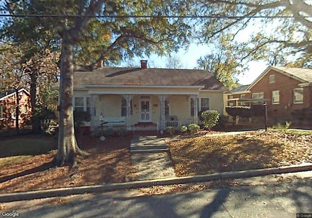
1240 Munro Ave Columbus, GA 31906
Wynnton Village NeighborhoodEstimated Value: $239,000 - $306,000
3
Beds
3
Baths
1,921
Sq Ft
$139/Sq Ft
Est. Value
About This Home
This home is located at 1240 Munro Ave, Columbus, GA 31906 and is currently estimated at $267,029, approximately $139 per square foot. 1240 Munro Ave is a home located in Muscogee County with nearby schools including Richards Middle School, Hardaway High School, and Wynnton Elementary School.
Ownership History
Date
Name
Owned For
Owner Type
Purchase Details
Closed on
Oct 24, 2019
Sold by
Brower Frances Emily
Bought by
Grucella Madeline A
Current Estimated Value
Create a Home Valuation Report for This Property
The Home Valuation Report is an in-depth analysis detailing your home's value as well as a comparison with similar homes in the area
Home Values in the Area
Average Home Value in this Area
Purchase History
| Date | Buyer | Sale Price | Title Company |
|---|---|---|---|
| Grucella Madeline A | $209,700 | -- |
Source: Public Records
Tax History
| Year | Tax Paid | Tax Assessment Tax Assessment Total Assessment is a certain percentage of the fair market value that is determined by local assessors to be the total taxable value of land and additions on the property. | Land | Improvement |
|---|---|---|---|---|
| 2025 | $3,081 | $78,704 | $10,768 | $67,936 |
| 2024 | $3,081 | $78,704 | $10,768 | $67,936 |
| 2023 | $3,100 | $78,704 | $10,768 | $67,936 |
| 2022 | $2,445 | $59,872 | $10,768 | $49,104 |
| 2021 | $2,563 | $62,772 | $10,768 | $52,004 |
| 2020 | $2,564 | $62,772 | $10,768 | $52,004 |
| 2019 | $1,049 | $58,048 | $10,768 | $47,280 |
| 2018 | $1,049 | $58,048 | $10,768 | $47,280 |
| 2017 | $1,054 | $58,048 | $10,768 | $47,280 |
| 2016 | $1,060 | $59,309 | $8,780 | $50,529 |
| 2015 | $425 | $59,309 | $8,780 | $50,529 |
| 2014 | $426 | $59,309 | $8,780 | $50,529 |
| 2013 | -- | $59,309 | $8,780 | $50,529 |
Source: Public Records
Map
Nearby Homes
- 1232 Munro Ave
- 1230 Munro Ave
- 1261 Eberhart Ave
- 1252 Munro Ave
- 1263 Eberhart Ave
- 1259 Eberhart Ave
- 1226 Munro Ave
- 1265 Eberhart Ave
- 1267 Eberhart Ave
- 1269 Eberhart Ave
- 1253 Eberhart Ave
- 1241 Munro Ave
- 1247 Munro Ave
- 1275 Eberhart Ave
- 1233 Munro Ave
- 1239 Munro Ave
- 1277 Eberhart Ave
- 1927 Hill St
- 1946 Hill St
- 1260 Munro Ave
Your Personal Tour Guide
Ask me questions while you tour the home.